Springs · Undated
Hubertusquelle ehemals Klostersborn


© GeoBasis-DE / LVermGeoRP, dl-de/by-2-0
There is no picture of this object yet. Do you have a photo that you would like to make available to the Kulturdatenbank? Submit a picture
Description
This description is only available in German.
Translate with Google opens this page in Google Translate (external service)
Damit im Zusammenhang stehen könnte, dass auf der alten in der Franzosenzeit erstellten Tranchot/Müffling Karte von 1803–1810 Flurbereiche im Umfeld von "Not Gottes" die Namen Auf der Abtey und Kirchholtz trugen. In einem Zeltinger Weistum aus 1536 wird die Flurbezeichnung "Ebtey" zu Wehlen hinaus und an der Gemarkungsgrenze zu Lösnich ein "Klostersborn“ genannt. Hier befindet sich heute die Quelle des Böngertsbachs, der von hier in Richtung Lösnich und Kindel talwärts fließt. Die Quelle ist heute als „Hubertusquelle“ bekannt. [1]
Classification
- Subject area
- Natural Features
- Category
- Springs
- Date
- Undatiert
- Period
- Undated
Location
- District
- Bernkastel-Wittlich
- Collective municipality
- Bernkastel-Kues
- Municipality
- Zeltingen-Rachtig
- Field name
- Ortwald
- Coordinates
- WGS 84: 49.956390, 7.043878 (Position: exact) WGS 84: 49° 57′ 23.0″ N, 7° 02′ 38.0″ E UTM 32 (ETRS89): E 359688 · N 5535616
Sources
Data sources
- [1] Seite „Not Gottes (Zeltingen)“. In: Wikipedia – Die freie Enzyklopädie. Bearbeitungsstand: 21. November 2022, 23:49 UTC. URL: https://de.wikipedia.org/w/index.php?title=Not_Gottes_(Zeltingen)&o… (Abgerufen: 26. Dezember 2023, 10:52 UTC)
On the internet
Last edited: 24 Dec 2023 Object ID: 53003
https://kulturdb.de/en/objekt/53003-zeltingen-rachtig-hubertusquelle-ehemals-klostersborn
Nearby
The nearest objects
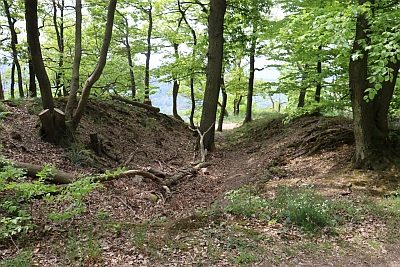 240 m
Entrenchments
Zeltinger Landwehr
Wayside Shrines and Stations of the Cross
Wegekreuz
Field Names
Kirchholtz
Field Names
Auf der Abtey
Road Transport
Pfad Am Räubergschell
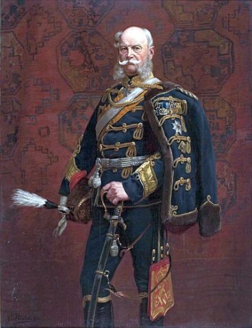 520 m
Commemorative Plantings
Kaisergarten
Wayside Shrines and Stations of the Cross
Gedenkkreuz von 1638
Extraction and Processing of Raw Materials