Wayside Shrines and Stations of the Cross · Renaissance
Gedenkkreuz von 1638


© GeoBasis-DE / LVermGeoRP, dl-de/by-2-0
There is no picture of this object yet. Do you have a photo that you would like to make available to the Kulturdatenbank? Submit a picture
Description
This description is only available in German.
Translate with Google opens this page in Google Translate (external service)
Sandsteinkreuz. [1]
Classification
- Subject area
- Architectural and Art Monuments
- Category
- Religious Buildings
- Object type
- Wayside Shrines and Stations of the Cross
- Date
- 1638
- Period
- Renaissance
Location
- District
- Bernkastel-Wittlich
- Collective municipality
- Bernkastel-Kues
- Municipality
- Lösnich
- Field name
- Ortwald
- Coordinates
- WGS 84: 49.961356, 7.045511 (Position: exact) WGS 84: 49° 57′ 40.9″ N, 7° 02′ 43.8″ E UTM 32 (ETRS89): E 359820 · N 5536165
Sources
Data sources
On the internet
Last edited: 22 Jan 2024 Object ID: 53025
https://kulturdb.de/en/objekt/53025-loesnich-gedenkkreuz-von-1638
Nearby
The nearest objects
Road Transport
Pfad Am Räubergschell
 190 m
Commemorative Plantings
Kaisergarten
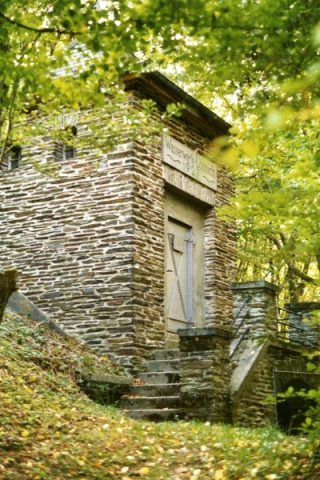 540 m
Waterworks
Alte Wasserwerkstation II
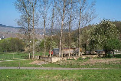 540 m
Jewish Cemeteries
Neuer jüdischer Friedhof
Springs
Hubertusquelle ehemals Klostersborn
Jewish Cemeteries
Ehemaliger jüdischer Friedhof
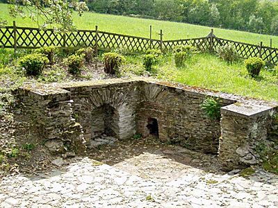 630 m
Settlements
Römische Villa - Fundort des Sucellus
Field Names