Jewish Cemeteries · Historicism / Art Nouveau
Ehemaliger Begräbnisplatz der Juden


© GeoBasis-DE / LVermGeoRP, dl-de/by-2-0
There is no picture of this object yet. Do you have a photo that you would like to make available to the Kulturdatenbank? Submit a picture
Description
This description is only available in German.
Translate with Google opens this page in Google Translate (external service)
1866 geschlossen. [1]
Classification
- Subject area
- Natural Features
- Category
- Parks, Gardens and Cemeteries
- Object type
- Jewish Cemeteries
- Date
- 1866
Location
- District
- Bernkastel-Wittlich
- Town
- Bernkastel-Kues
- Locality / location
- Bernkastel
- Field name
- Tanischwald
- Coordinates
- WGS 84: 49.929156, 7.078377 (Position: exact) WGS 84: 49° 55′ 45.0″ N, 7° 04′ 42.2″ E UTM 32 (ETRS89): E 362085 · N 5532524
Sources
Data sources
On the internet
Last edited: 25 Jan 2024 Object ID: 53039
https://kulturdb.de/en/objekt/53039-bernkastel-kues-ehemaliger-begraebnisplatz-der-juden
Nearby
The nearest objects
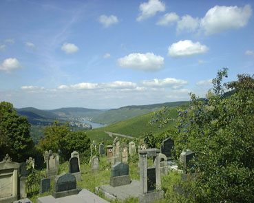 190 m
Jewish Cemeteries
Neuer jüdischer Friedhof
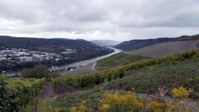 200 m
Viewpoints
Aussichtspunkt Braunes
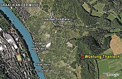 290 m
Deserted Settlements
Wüstung Thanisch
Viewpoints
Aussichtspunkt Traver Kupp
Vineyard Sites
Mönch
Vineyard Sites
Held
Vineyard Sites
Schwanen
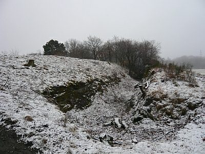 450 m
Entrenchments