Shooting Ranges · Neoclassicism
Ehemaliges Schießhaus


© GeoBasis-DE / LVermGeoRP, dl-de/by-2-0
There is no picture of this object yet. Do you have a photo that you would like to make available to the Kulturdatenbank? Submit a picture
Description
This description is only available in German.
Translate with Google opens this page in Google Translate (external service)
Classification
- Subject area
- Architectural and Art Monuments
- Category
- Recreation and Sports Facilities
- Object type
- Shooting Ranges
- Date
- 1850
- Period
- Neoclassicism
Location
- District
- Bernkastel-Wittlich
- Town
- Bernkastel-Kues
- Locality / location
- Schützenhaus
- Field name
- Auf der Hahndt
- Coordinates
- WGS 84: 49.913780, 7.076537 (Position: exact) WGS 84: 49° 54′ 49.6″ N, 7° 04′ 35.5″ E UTM 32 (ETRS89): E 361909 · N 5530818
Sources
Data sources
- [1] Topographische Karte 1:25000 von 1915 https://geo4.service24.rlp.de/client/lf/lawa/
- [2] facebook-Gruppe 'Bernkasteler Stadtschreiber' https://www.facebook.com/groups/stadtschreiberbks/
On the internet
Last edited: 26 Jan 2024 Object ID: 53040
https://kulturdb.de/en/objekt/53040-bernkastel-kues-ehemaliges-schiesshaus
Nearby
The nearest objects
Town Houses and Commercial Buildings
Dreigeschossiges Fachwerkhau
Monuments
Gedenktafel
Administrative Buildings
Ehemaliges Amts- und Kellnereigebäude
 120 m
Wayside Shrines and Stations of the Cross
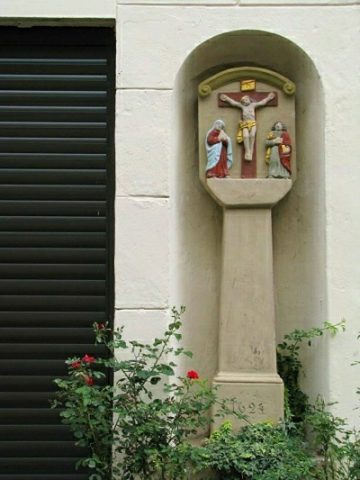
Kreuzigungsbildstock
Town Houses and Commercial Buildings
Wohnhaus
 130 m
Town Houses and Commercial Buildings
Doppelhaus
Monastic Complexes
Ehemaliges Kapuzinerkloster
 140 m
Monastic Complexes