Fortresses and Bunkers · 20th Century
Westwall - Höckerlinie
- Listed monument


© GeoBasis-DE / LVermGeoRP, dl-de/by-2-0
There is no picture of this object yet. Do you have a photo that you would like to make available to the Kulturdatenbank? Submit a picture
Description
This description is only available in German.
Translate with Google opens this page in Google Translate (external service)
Mehrere sehr gut erhaltene Abschnitte der Höckerlinie des Westwalls. [1]
Classification
- Subject area
- Architectural and Art Monuments
- Object type
- Fortresses and Bunkers
- Date
- 1939
- Period
- 20th Century
- Creator, builder, architect, artist
- Organisation Todt
Location
- District
- Vulkaneifel
- Collective municipality
- Gerolstein
- Municipality
- Ormont
- Field name
- Hinter Hilgerath
- Coordinates
- WGS 84: 50.318331, 6.424291 (Position: exact) WGS 84: 50° 19′ 06.0″ N, 6° 25′ 27.4″ E UTM 32 (ETRS89): E 316640 · N 5577198
Sources
Data sources
- [1] Seite „Liste der Kulturdenkmäler in Ormont“. In: Wikipedia – Die freie Enzyklopädie. Bearbeitungsstand: 3. Februar 2024, 11:34 UTC. URL: https://de.wikipedia.org/w/index.php?title=Liste_der_Kulturdenkm%C3… (Abgerufen: 7. Februar 2026, 15:01 UTC)
On the internet
Last edited: 7 Feb 2026 Object ID: 57535
https://kulturdb.de/en/objekt/57535-ormont-westwall-hoeckerlinie
Nearby
The nearest objects
Field Names
Hinter Hilgerath
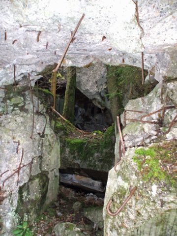 190 m
Fortresses and Bunkers
Westwall - Bunker
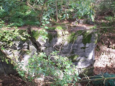 200 m
Fortresses and Bunkers
Westwall - Bunker
Fortresses and Bunkers
Westwall - Schartenstand
Fortresses and Bunkers
Westwall - Schartenstand
Fortresses and Bunkers
Westwall - Schartenstand
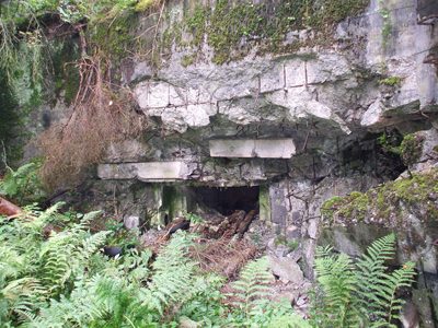 320 m
Fortresses and Bunkers
Westwall - Bunker
Fortresses and Bunkers