Field Names · Undated
Heiligenfeld


© GeoBasis-DE / LVermGeoRP, dl-de/by-2-0
There is no picture of this object yet. Do you have a photo that you would like to make available to the Kulturdatenbank? Submit a picture
Description
This description is only available in German.
Translate with Google opens this page in Google Translate (external service)
Heiligen – Bedeutung: Einer Kirche, einem Altar gehöriger Bezirk; Ort, wo ein Heiligenbild steht oder stand. Das Adjektiv „heilig“ ist als Beiwort in Flurnamen sehr häufig. [1]
Classification
- Subject area
- History
- Category
- Field Names
- Date
- Undatiert
- Period
- Undated
Location
- District
- Vulkaneifel
- Collective municipality
- Gerolstein
- Municipality
- Birresborn
- Field name
- Heiligenfeld
- Coordinates
- WGS 84: 50.180446, 6.631058 (Position: exact) WGS 84: 50° 10′ 49.6″ N, 6° 37′ 51.8″ E UTM 32 (ETRS89): E 330870 · N 5561380
Sources
Data sources
- [1] Dittmaier, Heinrich: Rheinische Flurnamen. Ludwig Röhrscheid Verlag, Bonn, 1963.
On the internet
Last edited: 27 May 2026 Object ID: 57657
https://kulturdb.de/en/objekt/57657-birresborn-heiligenfeld
Nearby
The nearest objects
Lime Kilns
Ehemaliger Kalkofen
Wayside Shrines and Stations of the Cross
Marienbildstock Am Hühnerberg
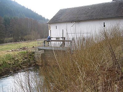 210 m
Mills
Birresborner Kyllmühle
Marian Grottoes
Mariengrotte im Winkler Weg
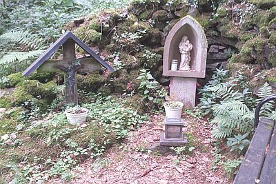 420 m
Marian Grottoes
Mariengrotte mit Bildstock
420 m
Wayside Shrines and Stations of the Cross
Ehemaliges Grabkreuz
Extraction and Processing of Raw Materials
Mühlsteinbruch am Kalem
Viewpoints