Geological Features · Undated
Lühwald
Aufschlusspunkt 9 des GEO-PFAD


© GeoBasis-DE / LVermGeoRP, dl-de/by-2-0
There is no picture of this object yet. Do you have a photo that you would like to make available to the Kulturdatenbank? Submit a picture
Description
This description is only available in German.
Translate with Google opens this page in Google Translate (external service)
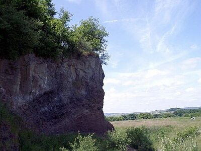
Der Lühwald-Vulkan ist der südlichste Vulkan in der Vulkanfolge Lühwald-Wetschberg-Mühlenberg. Es handelt sich hier um drei Ausbruchspunkte, die entlang einer Spalte aufgereiht sind. Dieser Punkt des Geo-Pfads ist eine der wenigen Stellen in der West-Eifel, wo eine Spalteneruption gut erkannt werden kann. [1]
Classification
- Subject area
- Natural Features
- Category
- Geological Features
- Date
- Undatiert
- Period
- Undated
Location
- District
- Vulkaneifel
- Collective municipality
- Gerolstein
- Municipality
- Oberbettingen
- Field name
- Lühwald
- Coordinates
- WGS 84: 50.281951, 6.616738 (Position: exact) WGS 84: 50° 16′ 55.0″ N, 6° 37′ 00.3″ E UTM 32 (ETRS89): E 330208 · N 5572697
Sources
Data sources
- [1] Wanderkarte Nr. 16 des Eifelvereins. 1:25.000 "Urlaubsregion Hillesheim". Ausgabe 2001. ISBN 3-921805-18-X
On the internet
Last edited: 7 Oct 2003 Object ID: 6756
https://kulturdb.de/en/objekt/6756-oberbettingen-luehwald
Nearby
The nearest objects
 70 m
Volcanoes
Lühwald-Vulkan
Field Names
Im Bungert
 410 m
Pines
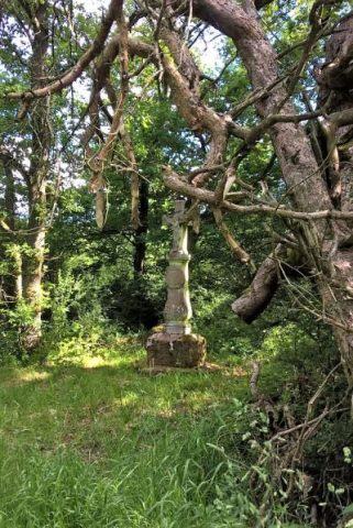
Drei alte Kiefern mit Kreuz
 410 m
Wayside Shrines and Stations of the Cross
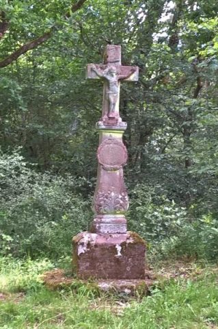
Backeskreuz
Field Names
Am Auelergraben
Field Names
Im Auelergraben
Field Names
In der Pützwies
Field Names