Wayside Shrines and Stations of the Cross · Renaissance
Backeskreuz
- Listed monument


Description
This description is only available in German.
Translate with Google opens this page in Google Translate (external service)
Das Kreuz aus Sandstein ist ein Pestkreuz aus dem Jahre 1677, welches von der Gemeinde Oberbettingen errichtet wurde. [1]
Classification
- Subject area
- Architectural and Art Monuments
- Category
- Religious Buildings
- Object type
- Wayside Shrines and Stations of the Cross
- Date
- 1677
- Period
- Renaissance
Location
- District
- Vulkaneifel
- Collective municipality
- Gerolstein
- Municipality
- Oberbettingen
- Field name
- Lühwald
- Coordinates
- WGS 84: 50.278248, 6.617082 (Position: exact) WGS 84: 50° 16′ 41.7″ N, 6° 37′ 01.5″ E UTM 32 (ETRS89): E 330220 · N 5572285
Sources
Data sources
- [1] Rita Gehendges: Naturdenkmale des Landkreises Daun. 1985. Hrsg.: Landkreis Daun.
On the internet
Picture credits
- Picture 1: © Sandra Wack, Neuheilenbach, 2019. www.koerbchen-gesucht.de
- Picture 2: © Sandra Wack, Neuheilenbach, 2019. www.koerbchen-gesucht.de
- Picture 3: © Sandra Wack, Neuheilenbach, 2019. www.koerbchen-gesucht.de
- Picture 4: © Sandra Wack, Neuheilenbach, 2019. www.koerbchen-gesucht.de
- Picture 5: © Sandra Wack, Neuheilenbach, 2019. www.koerbchen-gesucht.de
- Picture 6: © Sandra Wack, Neuheilenbach, 2019. www.koerbchen-gesucht.de
Last edited: 21 Feb 2012 Object ID: 16676
https://kulturdb.de/en/objekt/16676-oberbettingen-backeskreuz
Nearby
The nearest objects
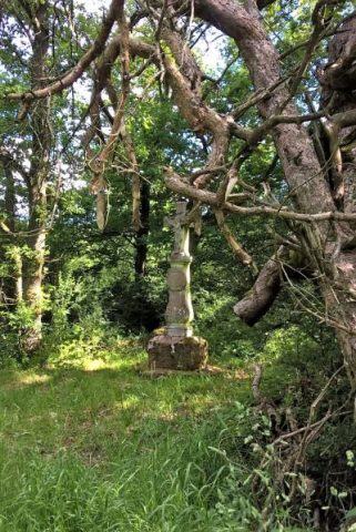 less than 10 m
Pines
Drei alte Kiefern mit Kreuz
No picture
310 m
Field Names
In Reissroth
No picture
380 m
Field Names
In Reissroth
No picture
410 m
Field Names
In der Pützwies
No picture
410 m
Geological Features
Lühwald
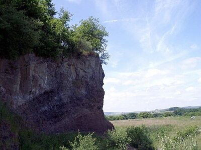 420 m
Volcanoes
Lühwald-Vulkan
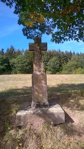 510 m
Wayside Shrines and Stations of the Cross
Wegekreuz
 720 m
Rocks