Rocks · 20th Century
Blockfeld am Nordhang des Roßbüsch
Naturdenkmal
- Listed monument

Classification
- Subject area
- Natural Features
- Category
- Rocks
- Date
- 16.04.1938 [Unterschutzstellung]
- Period
- 20th Century
Location
- District
- Vulkaneifel
- Collective municipality
- Gerolstein
- Municipality
- Kalenborn-Scheuern
- Locality / location
- Kalenborn
- Field name
- Roßbüsch
- Coordinates
- WGS 84: 50.271940, 6.619130 (Position: exact) WGS 84: 50° 16′ 19.0″ N, 6° 37′ 08.9″ E UTM 32 (ETRS89): E 330343 · N 5571579
Sources
Data sources
- [1] Rita Gehendges: Naturdenkmale des Landkreises Daun. 1985. Hrsg.: Landkreis Daun.
- [2] LANIS - Landschaftsinformationssysten der Naturschutzverwaltung Rheinland-Pfalz, 2015. http://www.naturschutz.rlp.de/?q=naturdenkmal
On the internet
Picture credits
- Picture 1: Peter Valerius, Kordel, 2005.
Last edited: 13 May 2015 Object ID: 5273
https://kulturdb.de/en/objekt/5273-kalenborn-scheuern-blockfeld-am-nordhang-des-rossbuesch
Nearby
The nearest objects
 190 m
Volcanoes
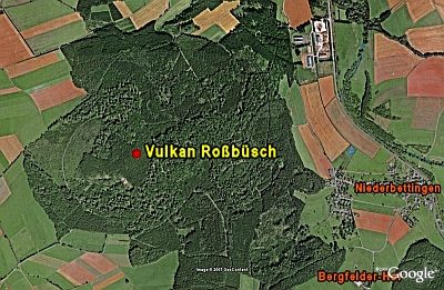
Vulkan Roßbüsch
No picture
330 m
Extraction and Processing of Raw Materials
Mühlsteinbruch am Roßbüsch
 350 m
Rocks
Basaltköpfchen im Roßbüsch
No picture
470 m
Field Names
In Reissroth
No picture
590 m
Field Names
In der Nachtsweide
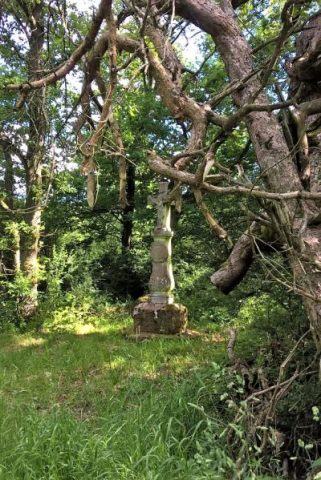 720 m
Pines
Drei alte Kiefern mit Kreuz
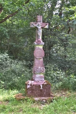 720 m
Wayside Shrines and Stations of the Cross
Backeskreuz
No picture
750 m
Deserted Settlements