Extraction and Processing of Raw Materials · Renaissance
Mühlsteinbrüche
Wüstung

Description
This description is only available in German.
Translate with Google opens this page in Google Translate (external service)
In den Herrschaften Gerolstein und Kasselburg. 1548: Erste Erwähnung in Form einer Abgaberegelung, die der Inhaber sowohl für seine Arbeiter als auch für die fertigen Mühlsteine zu zahlen hat.
Classification
- Subject area
- Archaeological Monuments
- Category
- Economy, Trade and Transport
- Object type
- Extraction and Processing of Raw Materials
- Date
- Circa 1500 bis circa 1700
- Period
- Renaissance
Location
- District
- Vulkaneifel
- Collective municipality
- Daun
- Municipality
- Kirchweiler
- Field name
- Auf Betheler
- Coordinates
- WGS 84: 50.215967, 6.750377 (Position: exact) WGS 84: 50° 12′ 57.5″ N, 6° 45′ 01.4″ E UTM 32 (ETRS89): E 339507 · N 5565065
Sources
Data sources
- Janssen, W.: Studien zur Wüstungsfrage im fränkischen Altsiedelland zwischen Rhein, Mosel und Eifelnordrand. 2 Bände. Text u. Katalog, 1975.
On the internet
Picture credits
- Picture 1: http://www.daun.de/vgv/tourist/galerie/index.html
Last edited: 7 Oct 2003 Object ID: 786
https://kulturdb.de/en/objekt/786-kirchweiler-muehlsteinbrueche
Nearby
The nearest objects
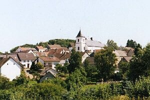 210 m
Ancient Field Systems
Flurwüstung Schnellersroth
Deserted Settlements
Wüstung Oberroth
Extraction and Processing of Raw Materials
Abbau am Scharteberg
Extraction and Processing of Raw Materials
Mühlsteinbruch Scharteberg-Schnellesrott
Extraction and Processing of Raw Materials
Lavaabbau
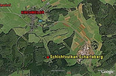 410 m
Volcanoes
Schichtvulkan Scharteberg
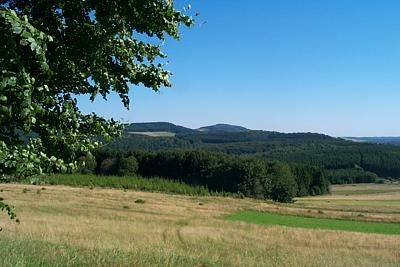 410 m
Rocks
Scharteberg (2)
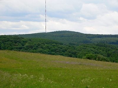 590 m
Rocks