Ancient Field Systems · Neoclassicism
Flurwüstung Schnellersroth

Description
This description is only available in German.
Translate with Google opens this page in Google Translate (external service)
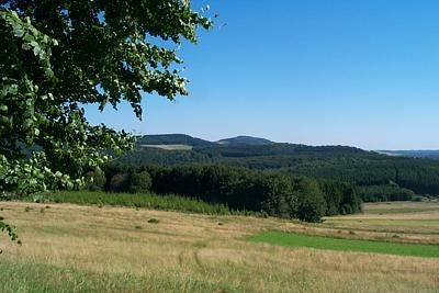
In der Tranchot-Karte von 1809 als Flurname Ruth eingetragen. Auf der Höhe 611 mitten in der Schnellersrother Flur, steht an einer Wegspinne ein schwarzes Basaltkreuz. [1]
Classification
- Subject area
- Archaeological Monuments
- Category
- Economy, Trade and Transport
- Object type
- Ancient Field Systems
- Date
- Circa 1750 bis 1850
- Period
- Neoclassicism
Location
- District
- Vulkaneifel
- Collective municipality
- Daun
- Municipality
- Kirchweiler
- Field name
- Auf Betheler
- Coordinates
- WGS 84: 50.214695, 6.752458 (Position: exact) WGS 84: 50° 12′ 52.9″ N, 6° 45′ 08.8″ E UTM 32 (ETRS89): E 339651 · N 5564919
Sources
Data sources
- [1] Janssen, W.: Studien zur Wüstungsfrage im fränkischen Altsiedelland zwischen Rhein, Mosel und Eifelnordrand. 2 Bände. Text u. Katalog, 1975.
On the internet
Picture credits
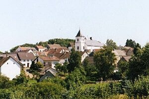
- Picture 1: http://www.daun.de/vgv/tourist/galerie/index.html
Last edited: 2 Apr 2001 Object ID: 787
https://kulturdb.de/en/objekt/787-kirchweiler-flurwuestung-schnellersroth
Nearby
The nearest objects
 210 m
Extraction and Processing of Raw Materials
Mühlsteinbrüche
Deserted Settlements
Wüstung Oberroth
Extraction and Processing of Raw Materials
Abbau am Scharteberg
Extraction and Processing of Raw Materials
Lavaabbau
Field Names
In Schnellesroth
Extraction and Processing of Raw Materials
Mühlsteinbruch Scharteberg-Schnellesrott
Extraction and Processing of Raw Materials
Lavaabbau
 560 m
Rocks