Deserted Settlements · Renaissance
Hofwüstung Eigelbach


© GeoBasis-DE / LVermGeoRP, dl-de/by-2-0
There is no picture of this object yet. Do you have a photo that you would like to make available to the Kulturdatenbank? Submit a picture
Description
This description is only available in German.
Translate with Google opens this page in Google Translate (external service)
Um 1570 wird im Weistum von Birresborn der Hof Eigelbach genannt. Dieser Hof wurde wahrscheinlich im 17. Jahrhundert wüst. Der heutige Hof Eigelbach wurde erst im 19. Jahrhundert errichtet. [1]
Classification
- Subject area
- Archaeological Monuments
- Category
- Settlements
- Object type
- Deserted Settlements
- Date
- 1570
- Period
- Renaissance
Location
- District
- Vulkaneifel
- Collective municipality
- Gerolstein
- Municipality
- Kopp
- Locality / location
- Eigelbach
- Field name
- Eigelbach
- Coordinates
- WGS 84: 50.187683, 6.588483 (Position: presumed) WGS 84: 50° 11′ 15.7″ N, 6° 35′ 18.5″ E UTM 32 (ETRS89): E 327856 · N 5562282
Sources
Data sources
- [1] Janssen, W.: Studien zur Wüstungsfrage im fränkischen Altsiedelland zwischen Rhein, Mosel und Eifelnordrand. 2 Bände. Text u. Katalog, 1975.
On the internet
Last edited: 7 Oct 2003 Object ID: 927
https://kulturdb.de/en/objekt/927-kopp-hofwuestung-eigelbach
Nearby
The nearest objects
 40 m
Oaks
Eigelsbacher Eiche
200 m
Walnut Trees
Walnussbaum
210 m
Walnut Trees
Walnussbaum
210 m
Walnut Trees
Walnussbaum
Field Names
Auf der Trift
 320 m
Wayside Shrines and Stations of the Cross
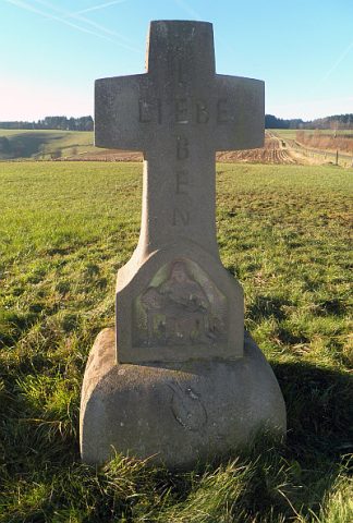
Sandsteinkreuz
Dry Maars
Eigelbacher Maar
Dry Maars