Dry Maars · Undated
Eigelbacher Maar


© GeoBasis-DE / LVermGeoRP, dl-de/by-2-0
There is no picture of this object yet. Do you have a photo that you would like to make available to the Kulturdatenbank? Submit a picture
Description
This description is only available in German.
Translate with Google opens this page in Google Translate (external service)
Ein Trockenmaar wie das Eigelbacher Maar ist ein zusedimentiertes Maar. Die vorgefundenen Sedimente in diesen Maaren geben in der Sedimentologie und der Klimaforschung oft Einblicke in die klimatische Vergangenheit der Erde.
Classification
- Subject area
- Natural Features
- Category
- Maars
- Object type
- Dry Maars
- Date
- Undatiert
- Period
- Undated
Location
- District
- Vulkaneifel
- Collective municipality
- Gerolstein
- Municipality
- Kopp
- Locality / location
- Eigelbach
- Field name
- Die Bornwiese
- Coordinates
- WGS 84: 50.184670, 6.588910 (Position: exact) WGS 84: 50° 11′ 04.8″ N, 6° 35′ 20.1″ E UTM 32 (ETRS89): E 327876 · N 5561946
Sources
Data sources
On the internet
Last edited: 7 Aug 2013 Object ID: 14864
https://kulturdb.de/en/objekt/14864-kopp-eigelbacher-maar
Nearby
The nearest objects
Dry Maars
Vulkan Eigelbach-Maar
Field Names
Die Bornwiese
 150 m
Wayside Shrines and Stations of the Cross
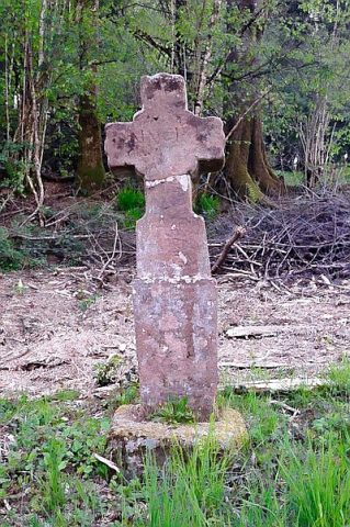
Wegekreuz
Field Names
Auf der Trift
Deserted Settlements
Hofwüstung Eigelbach
 370 m
Oaks
Eigelsbacher Eiche
Mills
Ehemalige Mühle
Mills