Wayside Shrines and Stations of the Cross · Undated
Wegekreuz
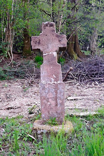
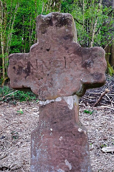
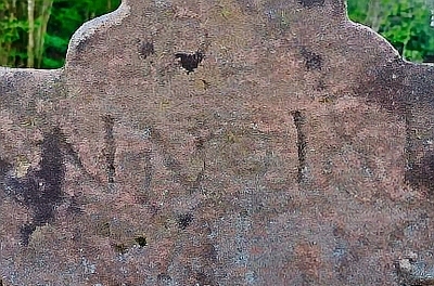
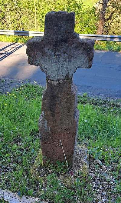
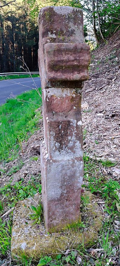
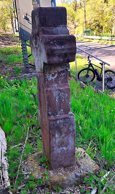
Classification
- Subject area
- Architectural and Art Monuments
- Category
- Religious Buildings
- Object type
- Wayside Shrines and Stations of the Cross
- Date
- Undatiert
- Period
- Undated
Location
- District
- Vulkaneifel
- Collective municipality
- Gerolstein
- Municipality
- Kopp
- Locality / location
- Eigelbach
- Street
- Eigelbacher Straße
- Field name
- Hinter der Trift
- Coordinates
- WGS 84: 50.183551, 6.587697 (Position: exact) WGS 84: 50° 11′ 00.8″ N, 6° 35′ 15.7″ E UTM 32 (ETRS89): E 327786 · N 5561824
Sources
Data sources
- [1] Sandra Wack, Neuheilenbach, 2026.
On the internet
de.wikipedia.org/wiki/Kopp_(Vulkaneifel)
Picture credits
Last edited: 14 Jun 2026 Object ID: 32860
https://kulturdb.de/en/objekt/32860-kopp-wegekreuz
Nearby
The nearest objects
No picture
120 m
Field Names
Die Bornwiese
No picture
140 m
Dry Maars
Vulkan Eigelbach-Maar
No picture
150 m
Dry Maars
Eigelbacher Maar
No picture
270 m
Field Names
Auf der Trift
No picture
280 m
Field Names
Hinter der Trift
No picture
290 m
Mills
Ehemalige Mühle
No picture
290 m
Mills
Ehemalige Mühle
No picture
460 m
Deserted Settlements