Castles · Neoclassicism
Turmhof
Wüstung


© GeoBasis-DE / LVermGeoRP, dl-de/by-2-0
There is no picture of this object yet. Do you have a photo that you would like to make available to the Kulturdatenbank? Submit a picture
Description
This description is only available in German.
Translate with Google opens this page in Google Translate (external service)
Seit dem 13. Jahrhundert hatte das Geschlecht von Mirbach in Wiesbaum einen befestigten Hof, den es noch im 16. Jahrhundert besaß. Der heutige Flurnamen: Thurhof.
Classification
- Subject area
- Archaeological Monuments
- Object type
- Castles
- Date
- Circa 1750 bis 1850
- Period
- Neoclassicism
Location
- District
- Vulkaneifel
- Collective municipality
- Gerolstein
- Municipality
- Wiesbaum
- Field name
- Ortslage
- Coordinates
- WGS 84: 50.342138, 6.670605 (Position: presumed) WGS 84: 50° 20′ 31.7″ N, 6° 40′ 14.2″ E UTM 32 (ETRS89): E 334255 · N 5579267
Sources
Data sources
- Janssen, W.: Studien zur Wüstungsfrage im fränkischen Altsiedelland zwischen Rhein, Mosel und Eifelnordrand. 2 Bände. Text u. Katalog, 1975.
On the internet
Last edited: 7 Oct 2003 Object ID: 967
https://kulturdb.de/en/objekt/967-wiesbaum-turmhof
Nearby
The nearest objects
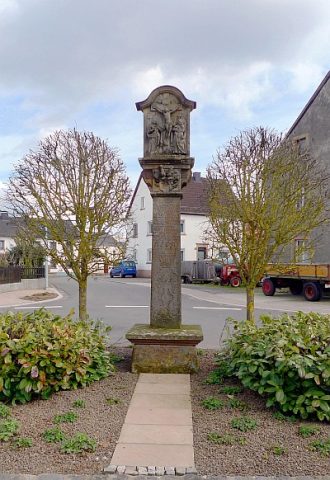 70 m
Wayside Shrines and Stations of the Cross
Kreuz für Johann Oswald Mohr von Wald
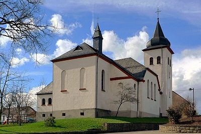 280 m
Catholic Churches
Sankt Martin (1)
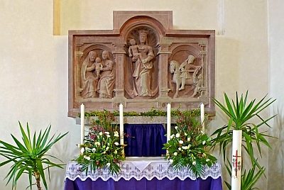 280 m
Catholic Churches
Sankt Martin (2)
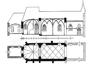 330 m
Catholic Churches
Friedhofskirche
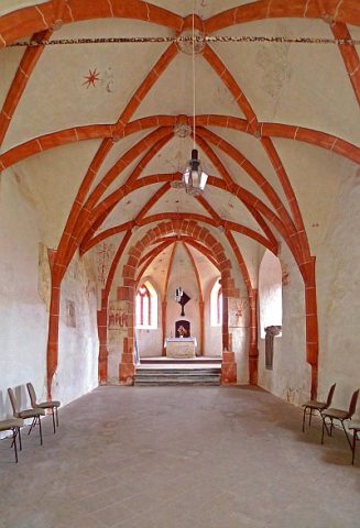 330 m
Catholic Churches
Friedhofskirche - Reste von Wandmalereien
Field Names
An Geiseroth
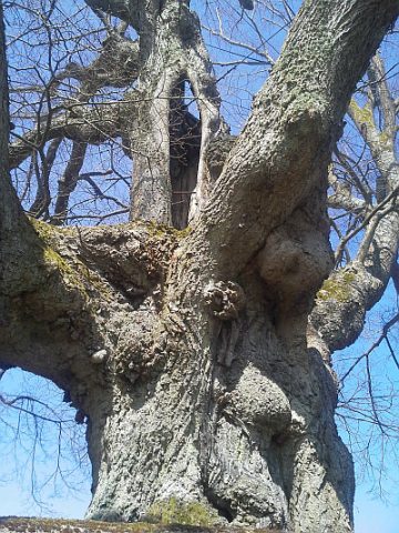 360 m
Lime Trees
Linde
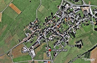 400 m
Castles