Castles · Neoclassicism
Unterer Hof auch Clusenhof
Wüstung

Description
This description is only available in German.
Translate with Google opens this page in Google Translate (external service)
Am Südausgang des Dorfes besaß die Familie von Mirbach einen befestigten Hof mit niedrigem Wall- und Doppelgraben.
Classification
- Subject area
- Archaeological Monuments
- Object type
- Castles
- Date
- Circa 1750 bis 1850
- Period
- Neoclassicism
Location
- District
- Vulkaneifel
- Collective municipality
- Gerolstein
- Municipality
- Wiesbaum
- Field name
- Ortslage
- Coordinates
- WGS 84: 50.338732, 6.668731 (Position: presumed) WGS 84: 50° 20′ 19.4″ N, 6° 40′ 07.4″ E UTM 32 (ETRS89): E 334110 · N 5578892
Sources
Data sources
- [1] Janssen, W.: Studien zur Wüstungsfrage im fränkischen Altsiedelland zwischen Rhein, Mosel und Eifelnordrand. 2 Bände. Text u. Katalog, 1975.
- [2] Gondorf, Bernhard: Die Burgen der Eifel und ihrer Randgebiete. Verlag J. P. Bachem, Köln, 1984. ISBN 3-7616-0723-7
On the internet
Picture credits
- Picture 1: Google Earth
Last edited: 5 Oct 2014 Object ID: 968
https://kulturdb.de/en/objekt/968-wiesbaum-unterer-hof-auch-clusenhof
Nearby
The nearest objects
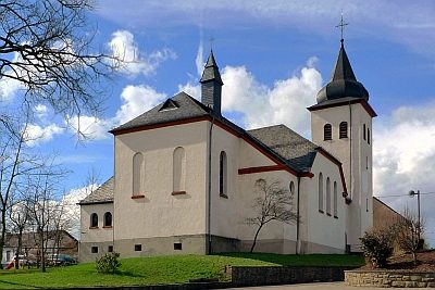 160 m
Catholic Churches
Sankt Martin (1)
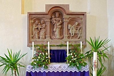 160 m
Catholic Churches
Sankt Martin (2)
No picture
260 m
Field Names
Auf Lohn
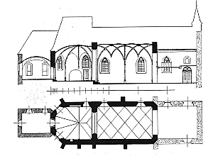 270 m
Catholic Churches
Friedhofskirche
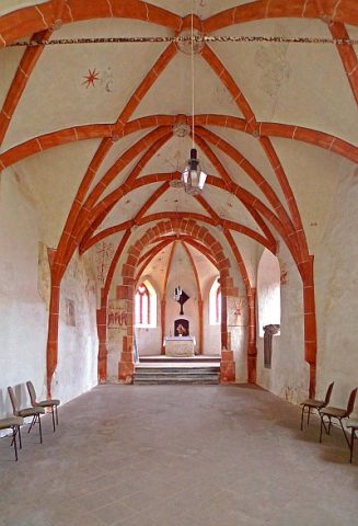 270 m
Catholic Churches
Friedhofskirche - Reste von Wandmalereien
 270 m
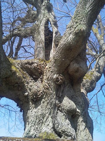
Lime Trees
Linde
 330 m
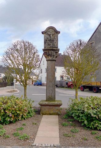
Wayside Shrines and Stations of the Cross
Kreuz für Johann Oswald Mohr von Wald
No picture
400 m
Castles