Wayside Shrines and Stations of the Cross · Renaissance
Wegekreuz
- Listed monument


Description
This description is only available in German.
Translate with Google opens this page in Google Translate (external service)
Classification
- Subject area
- Architectural and Art Monuments
- Category
- Religious Buildings
- Object type
- Wayside Shrines and Stations of the Cross
- Date
- 1633
- Period
- Renaissance
Location
- District
- Eifelkreis Bitburg-Prüm
- Collective municipality
- Bitburger Land
- Municipality
- Dockendorf
- Street
- Hauptstraße, bei Nr. 2
- Field name
- Ortslage
- Coordinates
- WGS 84: 49.924063, 6.458049 (Position: exact) WGS 84: 49° 55′ 26.6″ N, 6° 27′ 29.0″ E UTM 32 (ETRS89): E 317549 · N 5533286
Sources
Data sources
- [1] Denkmaltopographie Bundesrepublik Deutschland, Kulturdenkmäler in Rheinland-Pfalz, Kreis Bitburg-Prüm, 9.1 Wernersche Verlagsgesellschaft 1994. ISBN 3-88462-081-9
- [2] Werner Weber, Mannebach, 2020.
On the internet
de.wikipedia.org/wiki/Dockendorf
Picture credits
Last edited: 30 Nov 2020 Object ID: 9683
https://kulturdb.de/en/objekt/9683-dockendorf-wegekreuz
Nearby
The nearest objects
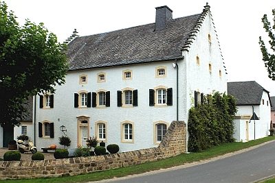 20 m
Farmhouses and Farm Buildings
Treppengiebelhaus
No picture
60 m
Farmhouses and Farm Buildings
Streckhof
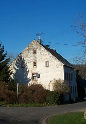 60 m
Farmhouses and Farm Buildings
Stattliches Wohnhaus
No picture
100 m
Farmhouses and Farm Buildings
Oberlichtportal
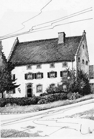 170 m
Historic Townscapes
Historisches Ortsbild
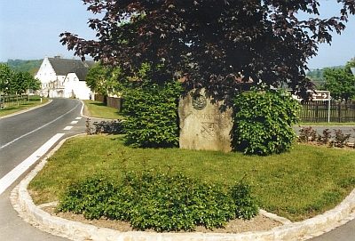 170 m
Place Names / Local History
Erste Erwähnung als Duckendorf
 170 m
Coats of Arms
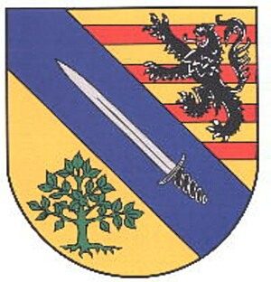
Wappen der Gemeinde Dockendorf
No picture
180 m
Farmhouses and Farm Buildings