Farmhouses and Farm Buildings · Neoclassicism
Oberlichtportal
- Listed monument


© GeoBasis-DE / LVermGeoRP, dl-de/by-2-0
There is no picture of this object yet. Do you have a photo that you would like to make available to the Kulturdatenbank? Submit a picture
Description
This description is only available in German.
Translate with Google opens this page in Google Translate (external service)
Die Öffnungen des auf dem Sturz 1809 datierten Oberlichtportals werden von barocker Linienführung bestimmt und sind mit Rokokoornamenten belegt. Die Zier der Türpfosten und der Sturz entstammen dem Formenschatz des Empire.
Classification
- Subject area
- Architectural and Art Monuments
- Category
- Residential and Farm Buildings
- Object type
- Farmhouses and Farm Buildings
- Date
- 1809
- Period
- Neoclassicism
Location
- District
- Eifelkreis Bitburg-Prüm
- Collective municipality
- Bitburger Land
- Municipality
- Dockendorf
- Street
- Hauptstraße 3
- Field name
- Ortslage
- Coordinates
- WGS 84: 49.924524, 6.456829 (Position: exact) WGS 84: 49° 55′ 28.3″ N, 6° 27′ 24.6″ E UTM 32 (ETRS89): E 317463 · N 5533340
Sources
Data sources
- Homepage der Initiative Region Trier e.V. Sehen & Erleben - Bau-Denkmäler http://www.regiontrier.de/cgi/bin
On the internet
Last edited: 1 Apr 2005 Object ID: 9717
https://kulturdb.de/en/objekt/9717-dockendorf-oberlichtportal
Nearby
The nearest objects
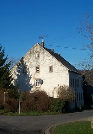 40 m
Farmhouses and Farm Buildings
Stattliches Wohnhaus
Farmhouses and Farm Buildings
Streckhof
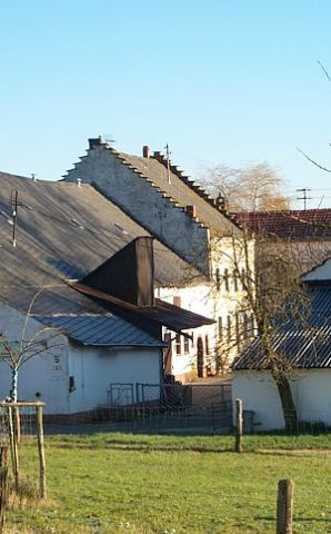 80 m
Farmhouses and Farm Buildings
Treppengiebelhaus
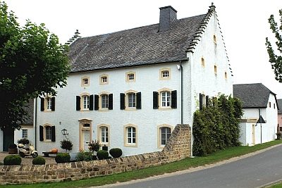 80 m
Farmhouses and Farm Buildings
Treppengiebelhaus
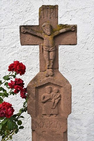 100 m
Wayside Shrines and Stations of the Cross
Wegekreuz
Farmhouses and Farm Buildings
Wohnhaus
 130 m
Historic Townscapes
Historisches Ortsbild
 130 m
Coats of Arms