Saarburg
372 heritage sites in Saarburg in the Kulturdatenbank Region Trier.
The map shows all 372 results.
-
Ehemalige Gerberei
Economy, Trade and Transport Extraction and Processing of Raw Materials ID 19162
-
Ehemalige Saarfähre
Economy, Trade and Transport Ferries ID 40963
-
Ehemalige Sandgrube
Economy, Trade and Transport Extraction and Processing of Raw Materials ID 19431
-
Ehemalige Sandgrube
Economy, Trade and Transport Extraction and Processing of Raw Materials ID 19432
-
Ehemalige Synagoge
Religious Buildings Synagogues ID 4985
-
Ehemalige Synagoge - Gedenktafel
Markers and Monuments Monuments ID 34366
-
Ehemalige kurfürstliche Kellnerei (1)
Administrative Buildings ID 13315
-
Ehemalige kurfürstliche Kellnerei (2)
Administrative Buildings ID 13336
-
Ehemalige kurfürstliche Mühle
Engineering Structures and Industrial Sites Mills ID 9009
-
Ehemalige kurfürstliche Mühle
Engineering Structures and Industrial Sites Mills ID 13291
-
Ehemaliger Bachturm
Fortifications and Military Sites Town Fortifications ID 13353
-
Ehemaliger Boemundhof
Residential and Farm Buildings Town Houses and Commercial Buildings ID 13362
-
Ehemaliger Brunnenturm
Fortifications and Military Sites Town Fortifications ID 13352
-
Ehemaliger Fährkopf
Economy, Trade and Transport Ferries ID 13305
-
Ehemaliger Johannisturm
Fortifications and Military Sites Town Fortifications ID 13348
-
Ehemaliger Laurentiusturm
Fortifications and Military Sites Town Fortifications ID 13356
-
Ehemaliger Schockturm
Fortifications and Military Sites Town Fortifications ID 13307
-
Ehemaliger Unterer Kunohofturm
Fortifications and Military Sites Town Fortifications ID 13349
-
Ehemaliges Erdebachtor
Fortifications and Military Sites Town Fortifications ID 13357
-
Ehemaliges Haus Hirtzberg
Ehemaliger Burgmannenhof
Residential and Farm Buildings Town Houses and Commercial Buildings ID 13359
-
Ehemaliges Haus Sierk
Ehemaliger Burgmannenhof
Residential and Farm Buildings Town Houses and Commercial Buildings ID 13358
-
Ehemaliges Neues Rathaus
Administrative Buildings Town Halls ID 13274
-
Ehemaliges Oberstes Loch
Fortifications and Military Sites Town Fortifications ID 13355
-
Ehemaliges Oberstes Tor
Französisches oder Luxemburger Tor
Fortifications and Military Sites Town Fortifications ID 13351
-
Ehemaliges Unterstes Loch
Fortifications and Military Sites Town Fortifications ID 13354
-
Ehemaliges Unterstes Tor
Fortifications and Military Sites Town Fortifications ID 13350
-
Ehemaliges kurfürstliches Amtsgericht
Legal Monuments Courthouses ID 13293
-
Ehrenmal
Markers and Monuments War Memorials ID 51201
-
Erdenbach
Field Names ID 26912
-
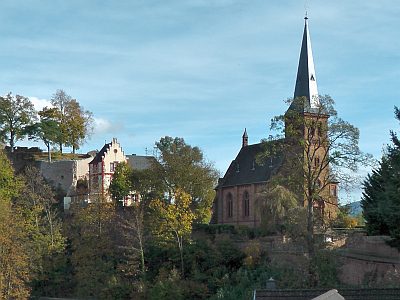
Evangelische Kirche
Religious Buildings Protestant Churches ID 1971
-
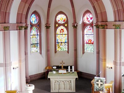
Evangelische Kirche - Fenster
Religious Buildings Protestant Churches ID 39104
-
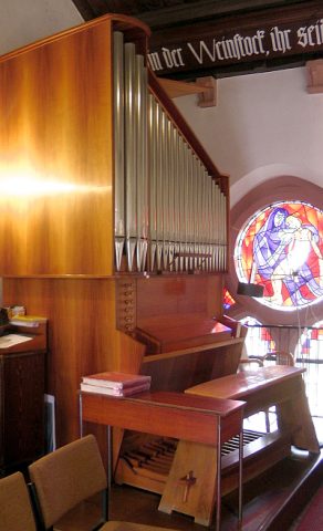
Evangelische Kirche - Orgel
Organs ID 39105
-
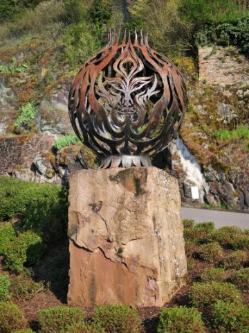
Feuer
Markers and Monuments Works of Art ID 48342
-
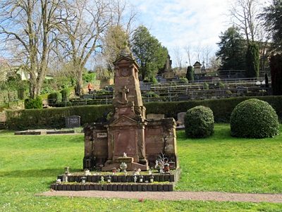
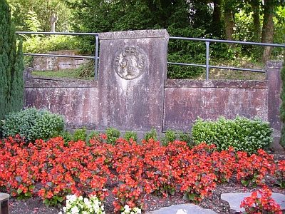
Friedhof Friedensaustraße
Parks, Gardens and Cemeteries Christian Cemeteries ID 13343
-
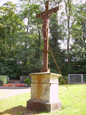
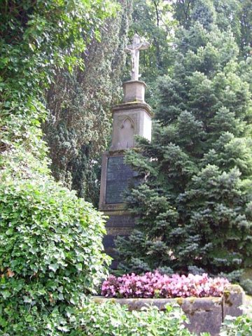
Friedhof Friedensaustraße - Friedhofskreuz
Markers and Monuments War Memorials ID 13344
-
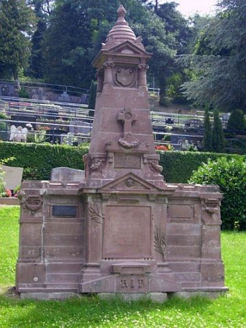
Friedhof Friedensaustraße - Grabmal Geltz
Parks, Gardens and Cemeteries Burial Sites ID 23377
-
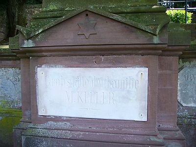
Friedhof Friedensaustraße - Grabmal Keller
Parks, Gardens and Cemeteries Burial Sites ID 23465
-
Friedhof Friedensaustraße - Grabmal Mabilon
Parks, Gardens and Cemeteries Burial Sites ID 23378
-
Friedhof Friedensaustraße - Grabmal Mungenast
Religious Buildings Burial Sites ID 13345
-
Friedhof Friedensaustraße - Grabmal Rheinart
Parks, Gardens and Cemeteries Burial Sites ID 23379
-
Friedhof Friedensaustraße - Grabmal Schuster
Parks, Gardens and Cemeteries Burial Sites ID 23380
-
Fränzchenborn
Field Names ID 30681
-
Fränzchenborn zur Irscherbach
Field Names ID 30685
-
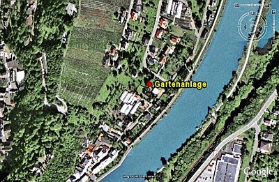
Gartenanlage
Parks, Gardens and Cemeteries Baroque Gardens ID 13320