Trier
5,889 heritage sites in Trier in the Kulturdatenbank Region Trier.
The map shows all 5,889 results.
-
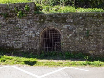
Luftschutzbunker
Fortifications and Military Sites Fortresses and Bunkers ID 51678
-
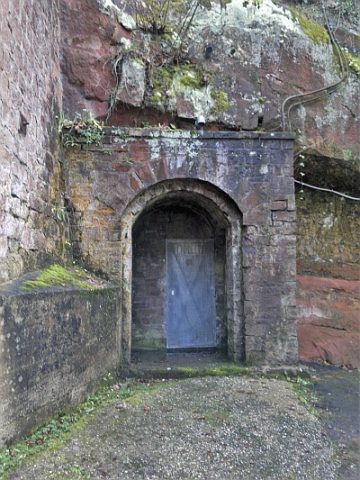
Luftschutzkeller
Fortifications and Military Sites Fortresses and Bunkers ID 34380
-
Luftschutzraum am Mühlenweg
6.630293 49.766274
Fortifications and Military Sites Fortresses and Bunkers ID 50463
-
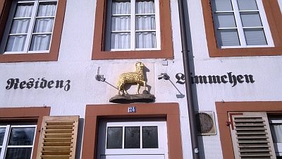
Mansarddachbau
Residential and Farm Buildings Town Houses and Commercial Buildings ID 19186
-
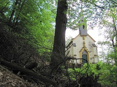
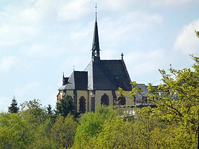
Maria-Hilf-Kapelle
Religious Buildings Chapels ID 16978
-
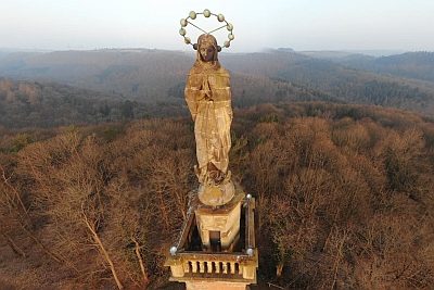
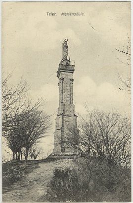
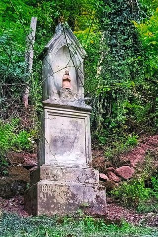
Mariensäule
Religious Buildings Wayside Shrines and Stations of the Cross ID 31
-
Mariensäule - Historische Aufnahmen
Historische Aufnahmen
Religious Buildings Wayside Shrines and Stations of the Cross ID 4680
-
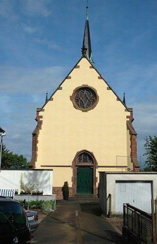
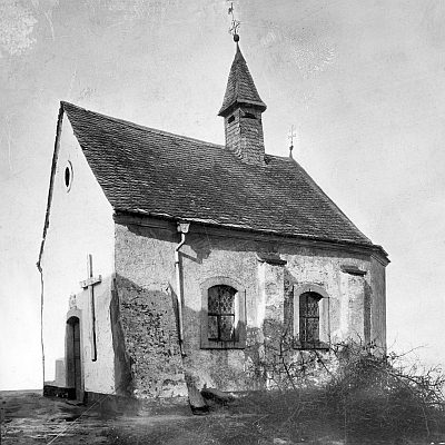
Markuskapelle
Religious Buildings Chapels ID 4711
-
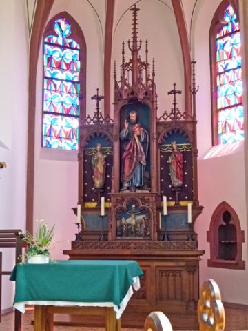
Markuskapelle - Altar
Religious Buildings Altars ID 34587
-
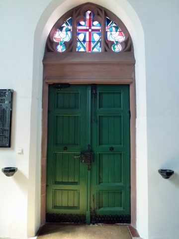
Markuskapelle - Eingangstür
Religious Buildings Chapels ID 34588
-
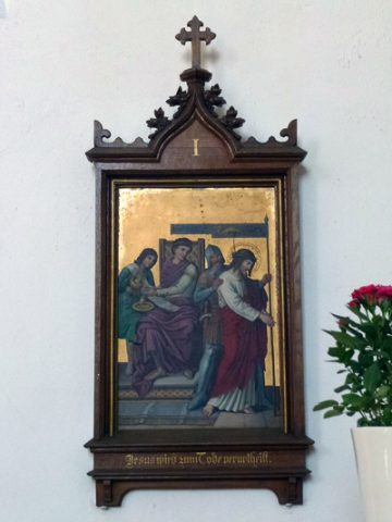
Markuskapelle - Kreuzweg (1)
Religious Buildings Wayside Shrines and Stations of the Cross ID 34381
-
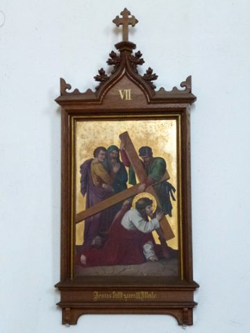
Markuskapelle - Kreuzweg (2)
Religious Buildings Wayside Shrines and Stations of the Cross ID 34382
-
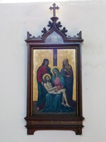
Markuskapelle - Kreuzweg (3)
Religious Buildings Wayside Shrines and Stations of the Cross ID 34383
-
Markuskapelle als Einsiedelei
Religious Buildings Pilgrimage Sites ID 52127
-
Markuskapelle als Wallfahrtsstätte
Religious Buildings Pilgrimage Sites ID 34589
-
Martha-Brach-Straße
Place Names / Local History Street Names ID 50434
-
Martinerfeld
Place Names / Local History Street Names ID 47830
-
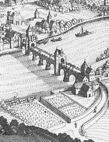
Mittelster Turm up der Brücken
Ehem. Turm der mittelalterl. Stadtmauer - Nr. 45
Fortifications and Military Sites Town Fortifications ID 12344
-
Moschee
Religious Buildings Mosques ID 39063
-
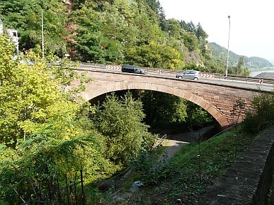
Napoleonsbrücke (1)
Economy, Trade and Transport Road Transport ID 2390
-
Napoleonsbrücke (2)
Place Names / Local History Street Names ID 6476
-
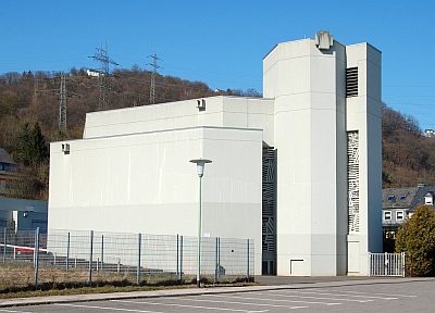
Neuapostolische Kirche
Religious Buildings Churches ID 34814
-
Neubüschhaus
Place Names / Local History ID 50380
-
Neubüschhaus, Hungerburg, Katharinenhof
Residential and Farm Buildings Farmhouses and Farm Buildings ID 44244
-
Nischenkreuz
Religious Buildings Wayside Shrines and Stations of the Cross ID 25869
-
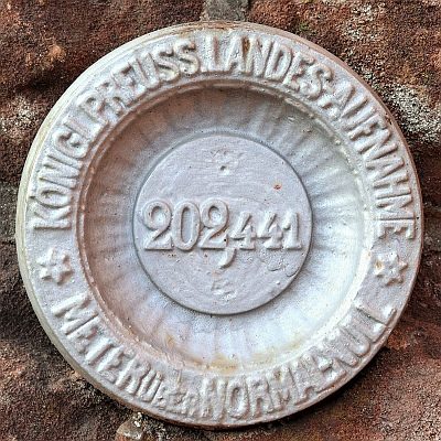
Nivellements-Nummernbolzen
Markers and Monuments Surveying ID 50569
-
Nivellements-Nummernbolzen
Markers and Monuments Surveying ID 50570
-
Ober dem Schankenbungert
Field Names ID 28079
-
Pilgerkreuz am Drachenhaus
Religious Buildings Pilgrimage Routes ID 25388
-
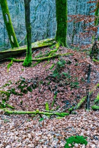
Pinge auf Eisenerz
Economy, Trade and Transport Extraction and Processing of Raw Materials ID 56222
-
Profanierte Kirche Sankt Simeon
Religious Buildings Catholic Churches ID 13188
-
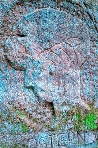
Relief mit Frauenkopf am Irminerberg
Markers and Monuments ID 44245
-
Reste von gewölbten Räumen
Settlements Deserted Settlements ID 48571
-
Reverchonweg
Economy, Trade and Transport Road Transport ID 6625