Welschbillig
499 heritage sites in Welschbillig in the Kulturdatenbank Region Trier.
The map shows all 499 results.
-
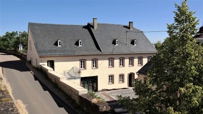
Pfarrhof
Residential and Farm Buildings Farmhouses and Farm Buildings ID 13693
-
Römische Sandstein- und Ziegelreste
Settlements Settlements ID 38201
-
Römische Siedlung
Settlements Settlements ID 11767
-
Römische Siedlung
Settlements Settlements ID 11768
-
Römische Siedlung
Settlements Settlements ID 11769
-
Römische Siedlung
Settlements Settlements ID 11770
-
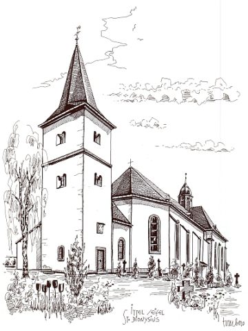
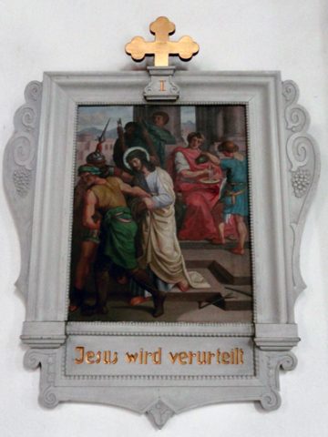
Sankt Dionysius (1)
Katholische Pfarrkirche und Kirchhof
Religious Buildings Catholic Churches ID 6255
-
Sauerwiese auf der Jauch
Field Names ID 34539
-
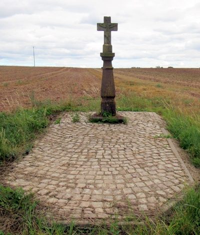
Schaftkreuz östlich der Ortslage
Religious Buildings Wayside Shrines and Stations of the Cross ID 13685
-
Schlimmfuhren
Field Names ID 27979
-
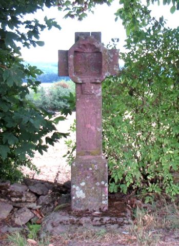
Sogenanntes Linnchenkreuz
Religious Buildings Wayside Shrines and Stations of the Cross ID 13688
-
Streckhof
Residential and Farm Buildings Farmhouses and Farm Buildings ID 13691
-
Streckhof
Residential and Farm Buildings Farmhouses and Farm Buildings ID 13692
-
Sühnenkreuz
Religious Buildings Wayside Shrines and Stations of the Cross ID 13684
-
Unter der Kirchenau
Field Names ID 46382
-
Unter der Sauerwiese
Field Names ID 34434
-
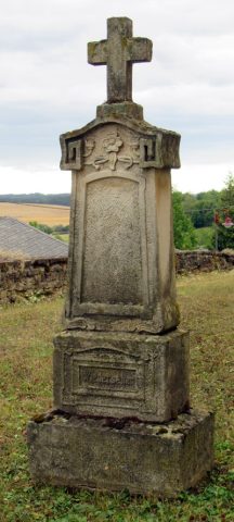
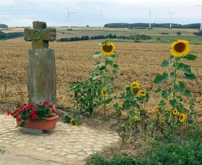
Wegekreuz
Religious Buildings Wayside Shrines and Stations of the Cross ID 25361
-
Wegekreuz
Religious Buildings Pilgrimage Routes ID 26769
-
Wegekreuz
Religious Buildings Wayside Shrines and Stations of the Cross ID 26770
-
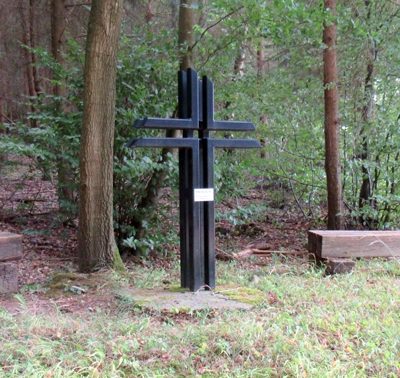
Wegekreuz
Religious Buildings Wayside Shrines and Stations of the Cross ID 49673
-
Wegekreuz
Religious Buildings Wayside Shrines and Stations of the Cross ID 49676
-
Zweiseithof
Residential and Farm Buildings Farmhouses and Farm Buildings ID 13690
-
Auf Schindern auf der Geich
Field Names ID 33328
-
Beckersmühle am Welschbilliger Bach
Engineering Structures and Industrial Sites Mills ID 7688
-
Bischofsberg
Field Names ID 33321
-
Hinter Niersch
Field Names ID 34049
-
Wegekreuz
Religious Buildings Wayside Shrines and Stations of the Cross ID 26638
-
Wegekreuz
Religious Buildings Wayside Shrines and Stations of the Cross ID 26676
-
Brückenpfeiler in der Kyll
Economy, Trade and Transport Road Transport ID 13022
-
Ehemalige Ittelkyller Mühle
Engineering Structures and Industrial Sites Mills ID 13681
-
Im Kyllberg
Field Names ID 50158
-
In Kyll
Field Names ID 50159
-
Falzergarten
Field Names ID 33369
-
Abbau von Kupfermineralien
Economy, Trade and Transport Extraction and Processing of Raw Materials ID 19167
-
Am Becherweg
Field Names ID 33370
-
Auf Ruwericht hinterm Nachtgraben
Field Names ID 48297
-
Auf dem Bungert
Field Names ID 33318
-
Auf dem Messenweg
Field Names ID 38363
-
Auf dem langen Grund
Field Names ID 46730
-
Aussichtspunkt Hohengöbel
Viewpoints ID 9294
-
Aussichtspunkt am Wasserhäuschen
Viewpoints ID 23156
-
Brunnenhaus und Quellstollen
Fountains and Wells ID 9301
-
Ehemaliger Meilerplatz
Economy, Trade and Transport Charcoal Kilns ID 57540
-
Ehemaliger Meilerplatz
Economy, Trade and Transport Charcoal Kilns ID 57541