Arzfeld
2,018 heritage sites in the collective municipality of Arzfeld in the Kulturdatenbank Region Trier.
The map shows all 2,018 results.
-
In der Held
Field Names ID 40106
-
In der Held
Field Names ID 40109
-
In der Held
Field Names ID 40110
-
In der Taufenbach
Field Names ID 48901
-
In der Taufenbach
Field Names ID 48902
-
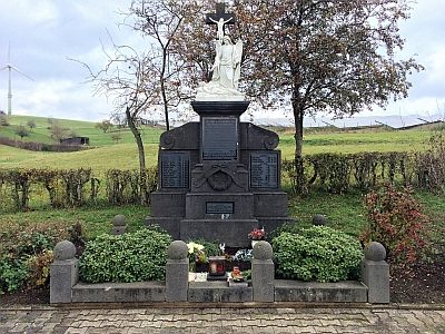
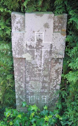
Kriegerdenkmal
Markers and Monuments War Memorials ID 50193
-
Langendell
Field Names ID 45577
-
Langendell
Field Names ID 45578
-
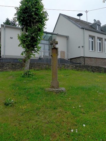
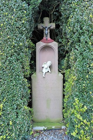
Nischenkreuz vor der ehemaligen Schule
Religious Buildings Wayside Shrines and Stations of the Cross ID 23932
-
Ober Gersdell
Field Names ID 45623
-
Ortsname / Ortsgeschichte
Place Names / Local History ID 3369
-
Rothenköpfchen
Field Names ID 43581
-
Römische Brandgrabgruben
Burials Cremation Graves ID 12931
-
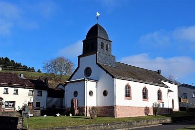
Sankt Antonius der Einsiedler
Katholische Filialkirche
Religious Buildings Catholic Churches ID 11479
-
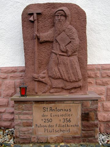
Sankt Antonius der Einsiedler - Statue
Katholische Filialkirche
Markers and Monuments Works of Art ID 2179
-
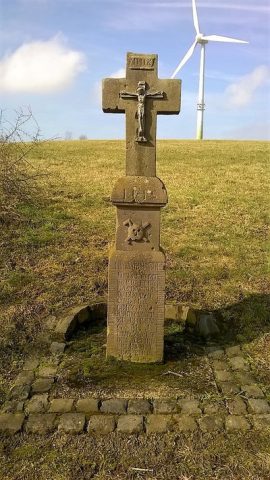
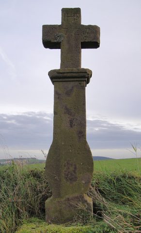
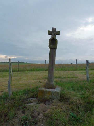
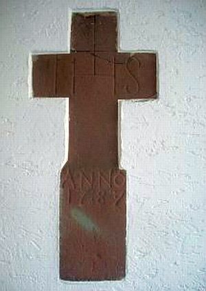
Schaftkreuz von 1785
Religious Buildings Wayside Shrines and Stations of the Cross ID 23934
-
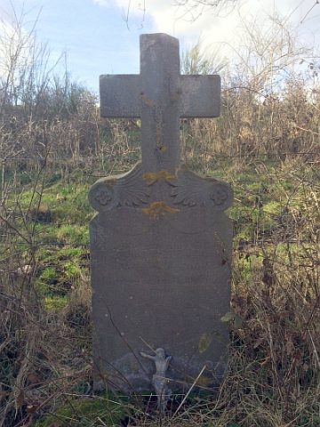
Schaftkreuz von 1875
Religious Buildings Wayside Shrines and Stations of the Cross ID 23933
-
Streckhof
Residential and Farm Buildings Farmhouses and Farm Buildings ID 23936
-
Trigonometrisches Signal
Markers and Monuments Surveying ID 44658
-
Trigonometrisches Signal
Markers and Monuments Surveying ID 44659
-
Trigonometrisches Signal Krummenacker
Markers and Monuments Surveying ID 44639
-
Unter Aulenborn
Field Names ID 36413
-
Unter Aulenborn
Field Names ID 36414
-
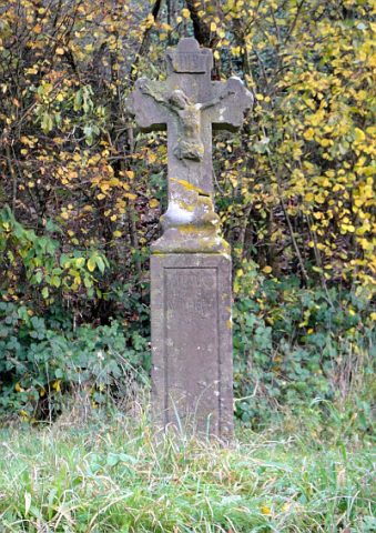
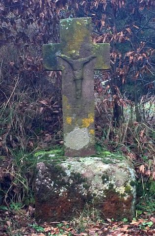
Wegekreuz
Religious Buildings Wayside Shrines and Stations of the Cross ID 32781
-
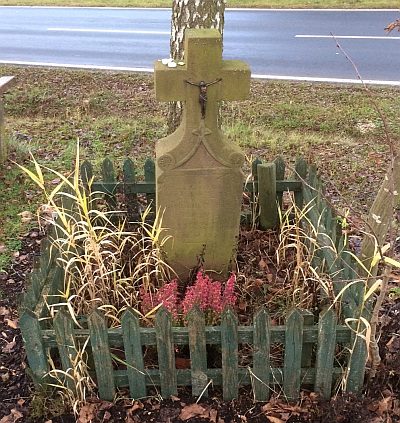
Wegekreuz
Religious Buildings Wayside Shrines and Stations of the Cross ID 32782
-
Wegekreuz
Religious Buildings Wayside Shrines and Stations of the Cross ID 33454
-
Wegekreuz
Religious Buildings Wayside Shrines and Stations of the Cross ID 33455
-
Wegekreuz
Religious Buildings Wayside Shrines and Stations of the Cross ID 33456
-
Wegekreuz
Religious Buildings Wayside Shrines and Stations of the Cross ID 47377
-
Wegekreuz
Religious Buildings Wayside Shrines and Stations of the Cross ID 56525
-
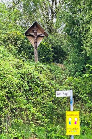
Wegekreuz nördlich des Ortes, an einem Feldweg
Religious Buildings Wayside Shrines and Stations of the Cross ID 23931
-
Dörnauelsmühle im Ourtal
Engineering Structures and Industrial Sites Mills ID 7588
-
Dörrenauel
Field Names ID 42135
-
Ehemalige Furt durch die Our
Economy, Trade and Transport Fords ID 49578
-
Stierpesch
Field Names ID 27409
-
Theiselspesch
Field Names ID 27410
-
Ehemalige Furt durch den Irsen
Economy, Trade and Transport Fords ID 51151
-
Machtemesmühle im Irsental
Engineering Structures and Industrial Sites Mills ID 7712
-
Ruppenauel
Field Names ID 42178
-
Biesenborn
Field Names ID 31694
-
Brinkenauel
Field Names ID 42184
-
Calenborn
Field Names ID 31663
-
Diebendell
Field Names ID 44929
-
Diebendell
Field Names ID 44930
-
Ehemalige Furt durch die Our
Economy, Trade and Transport Fords ID 49561
-
Etzelborn
Field Names ID 31689
-
Fundstellen tierischer Versteinerungen
Geological Features Fossils ID 50897
-
Grabkreuze in der Leichenhalle
Religious Buildings Burial Sites ID 23873