Bitburger Land
3,990 heritage sites in the collective municipality of Bitburger Land in the Kulturdatenbank Region Trier.
The map shows all 3,990 results.
-
Kleines Handwerkerhäuschen
Residential and Farm Buildings Town Houses and Commercial Buildings ID 9673
-
Kleines Wohnhaus
Residential and Farm Buildings Town Houses and Commercial Buildings ID 11206
-
Langmauer
Place Names / Local History Street Names ID 16698
-
Maarbuesch
Field Names ID 35771
-
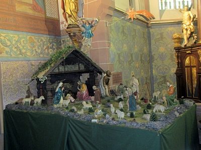
Maria Königin - Weihnachtskrippe
Katholische Pfarrkirche - Innen
Religious Buildings Nativity Scenes ID 57478
-
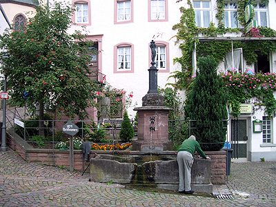
Marktbrunnen
Fountains and Wells ID 882
-
Marktort Dudeldorf
Economy, Trade and Transport Market Towns ID 25977
-
Mittelalterlicher Töpferofen
Kammerforst
Economy, Trade and Transport Extraction and Processing of Raw Materials ID 10362
-
Oben am Messenweg
Field Names ID 38380
-
Oberlichtportal von 1850
Residential and Farm Buildings Farmhouses and Farm Buildings ID 11496
-
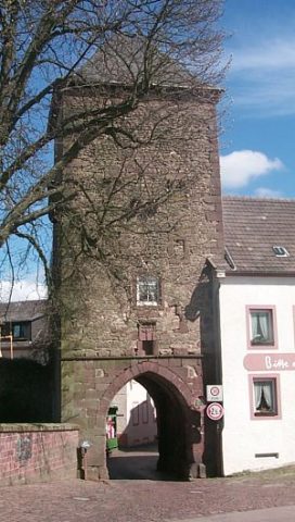
Obertor der Stadtbefestigung
Fortifications and Military Sites Town Fortifications ID 503
-
Relief einer Pietà
Religious Buildings Wayside Shrines and Stations of the Cross ID 11497
-
Römische Gräber
Burials Burial Mounds ID 10382
-
Römische Gräber
Burials Burial Mounds ID 10383
-
Römische Siedlungsstelle
Settlements Settlements ID 10385
-
Römische Siedlungsstelle
Settlements Settlements ID 10392
-
Römische Siedlungsstelle
Settlements Settlements ID 12464
-
Römische Siedlungsstelle
Settlements Settlements ID 12466
-
Römische Siedlungsstelle Hanfgarten
Settlements Settlements ID 10358
-
Römisches Gräberfeld
Burials Burial Mounds ID 12462
-
Scheunenzeile östlich von Herrengasse 1
Residential and Farm Buildings Farmhouses and Farm Buildings ID 11498
-
Spätbarockes Ackerbürgerhaus
Residential and Farm Buildings Farmhouses and Farm Buildings ID 35255
-
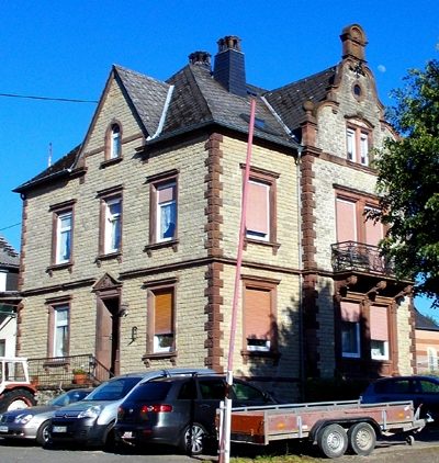
Späthistoristisches Wohnhaus
Residential and Farm Buildings Town Houses and Commercial Buildings ID 11511
-
Stadtrechte
Chartered Towns ID 6813
-
Streckhof
Residential and Farm Buildings Farmhouses and Farm Buildings ID 11501
-
Treppengiebelhaus
Residential and Farm Buildings Farmhouses and Farm Buildings ID 10486
-
Töpfersiedlung Alt-Kammerforst
Wüstung
Economy, Trade and Transport Extraction and Processing of Raw Materials ID 502
-
Unterm Schäfersborn
Field Names ID 31565
-
Unterstallhaus
Residential and Farm Buildings Farmhouses and Farm Buildings ID 11500
-
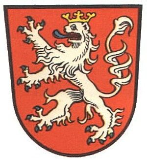
Wappen der Gemeinde Dudeldorf
Coats of Arms ID 2639
-
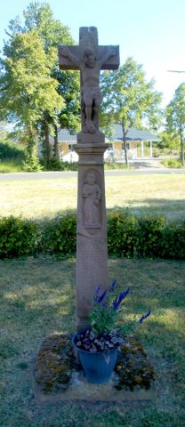
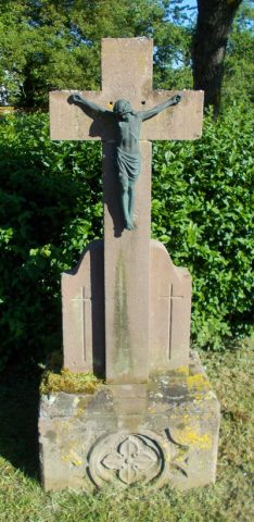
Wegekreuz
Religious Buildings Wayside Shrines and Stations of the Cross ID 32615
-
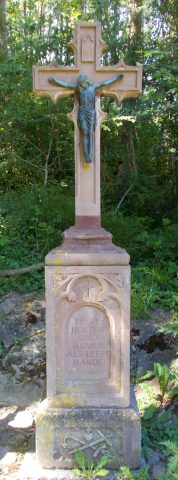
Wegekreuz
Religious Buildings Wayside Shrines and Stations of the Cross ID 32616
-
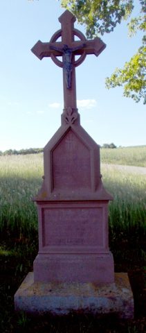
Wegekreuz
Religious Buildings Wayside Shrines and Stations of the Cross ID 49492
-
Wegekreuz am Sportplatz
Religious Buildings Wayside Shrines and Stations of the Cross ID 25372
-
Wegekreuz an der Spanger Straße
Religious Buildings Wayside Shrines and Stations of the Cross ID 25373
-
Wohnhaus
Residential and Farm Buildings Farmhouses and Farm Buildings ID 11276
-
Wohnhaus
Residential and Farm Buildings Farmhouses and Farm Buildings ID 11278
-
Wohnhaus
Residential and Farm Buildings Farmhouses and Farm Buildings ID 11279
-
Wohnhaus
Residential and Farm Buildings Farmhouses and Farm Buildings ID 11504
-
Wohnhaus
Residential and Farm Buildings Farmhouses and Farm Buildings ID 11506
-
Wohnhaus
Residential and Farm Buildings Farmhouses and Farm Buildings ID 11507
-
Wohnhaus
Ehemaliges Katasteramt
Residential and Farm Buildings Farmhouses and Farm Buildings ID 11509
-
Wohnhaus
Residential and Farm Buildings Farmhouses and Farm Buildings ID 11510