Bitburger Land
3,990 heritage sites in the collective municipality of Bitburger Land in the Kulturdatenbank Region Trier.
The map shows all 3,990 results.
-
Quereinhaus
Residential and Farm Buildings Farmhouses and Farm Buildings ID 8257
-
Rennpfad
Field Names ID 41632
-
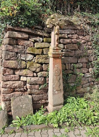
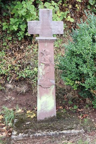
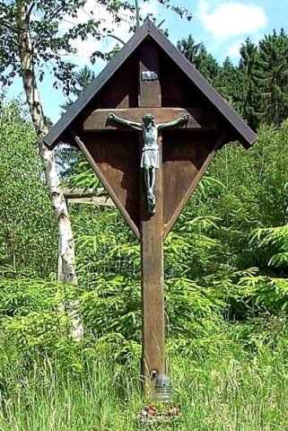
Schaftkreuz
Religious Buildings Wayside Shrines and Stations of the Cross ID 8284
-
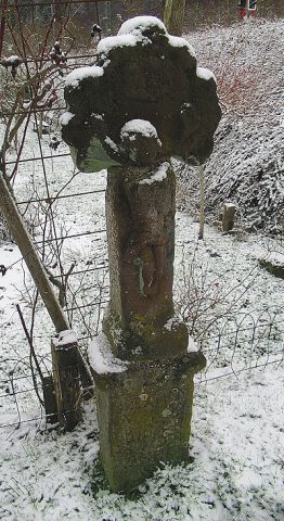
Schaftkreuz
Religious Buildings Wayside Shrines and Stations of the Cross ID 57728
-
Schaftkreuz von 1724
Religious Buildings Wayside Shrines and Stations of the Cross ID 13411
-
Schaftkreuz westlich der Kyllbrücke
Religious Buildings Wayside Shrines and Stations of the Cross ID 13410
-
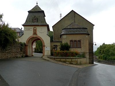
Sonnenuhr an der Hauptpforte
Markers and Monuments Surveying ID 23287
-
Steinbruch
Economy, Trade and Transport Extraction and Processing of Raw Materials ID 18912
-
Steinbruch am Hasenkopf
Economy, Trade and Transport Extraction and Processing of Raw Materials ID 18913
-
Steinkreuz
Religious Buildings Wayside Shrines and Stations of the Cross ID 8278
-
Streugehöft
Residential and Farm Buildings Farmhouses and Farm Buildings ID 8292
-
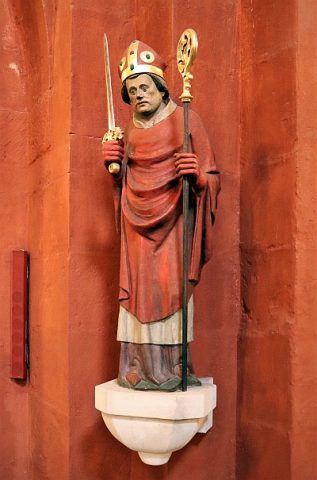
Thomas Becket
Place Names / Local History ID 3781
-
Unglückskreuz
Religious Buildings Wayside Shrines and Stations of the Cross ID 8281
-
Vollnischenkreuz
Religious Buildings Wayside Shrines and Stations of the Cross ID 8279
-
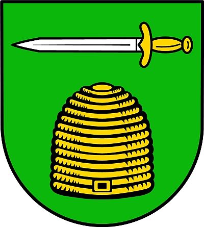
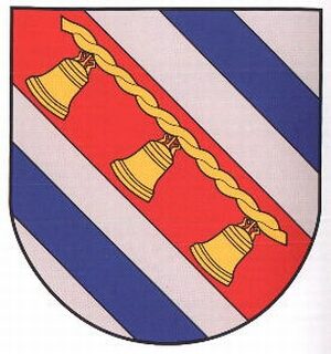
Wappen der Gemeinde Sankt Thomas
Coats of Arms ID 5430
-
Wegekreuz
Religious Buildings Wayside Shrines and Stations of the Cross ID 25235
-
Fundstellen tierischer Versteinerungen
Geological Features Fossils ID 51028
-
Auf dem Kiemen
Field Names ID 33212
-
Auf der Held
Field Names ID 40056
-
Auf der Lehmkaul
Field Names ID 35905
-
Beienwies
Field Names ID 48259
-
Bungert
Field Names ID 28093
-
Diedeschmaar
Field Names ID 35762
-
Ehemaliger Himmeroder Hof
Residential and Farm Buildings Farmhouses and Farm Buildings ID 33943
-
Ehemaliger Menhirstandort
Standing Stones, Menhirs ID 10816
-
Eisenberg
Field Names ID 36530
-
Grabhügel
Burials Burial Mounds ID 13066
-
Grabhügel
Burials Burial Mounds ID 47711
-
Grabhügel
Burials Burial Mounds ID 47712
-
Grabhügel
Burials Burial Mounds ID 47713
-
Grabhügel
Burials Burial Mounds ID 47714
-
Grabhügel
Burials Burial Mounds ID 47715
-
Grabhügel
Burials Burial Mounds ID 47716
-
Grabhügel
Burials Burial Mounds ID 47717
-
Grabhügel
Burials Burial Mounds ID 47718
-
Grabhügel
Burials Burial Mounds ID 47719
-
Grabhügel
Burials Burial Mounds ID 47720
-
Hinter Bungert
Field Names ID 28218
-
Im Haargarten
Field Names ID 48178
-
Ober dem Messeweg
Field Names ID 38371
-
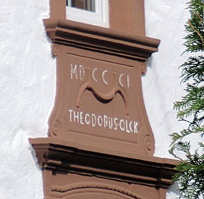
Oberlichtportal
Residential and Farm Buildings Farmhouses and Farm Buildings ID 33941
-
Ortsgeschichte Scharfbillig
Place Names / Local History ID 1673
-
Portal
Residential and Farm Buildings Farmhouses and Farm Buildings ID 33942
-
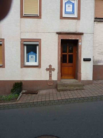
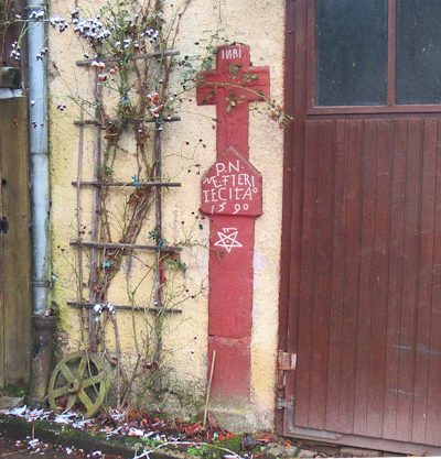
Reliefiertes Sandsteinkreuz
Religious Buildings Wayside Shrines and Stations of the Cross ID 57415
-
Römische Siedlung
Settlements Settlements ID 12148
-
Römische Siedlung
Settlements Settlements ID 12235
-
Römische Siedlung
Settlements Settlements ID 12236