Bitburger Land
3,990 heritage sites in the collective municipality of Bitburger Land in the Kulturdatenbank Region Trier.
The map shows all 3,990 results.
-
Römische Siedlungsstelle
Settlements Settlements ID 12143
-
Römisches Brandgräberfeld
Burials Cremation Graves ID 13064
-
Römisches Brandgräberfeld
Burials Cremation Graves ID 13065
-
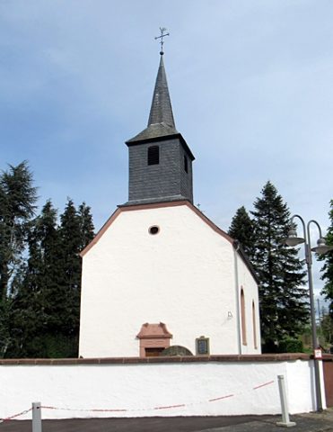
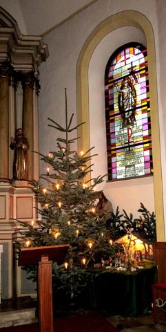
Sankt Lukas - Weihnachtskrippe
Katholische Filialkirche
Religious Buildings Nativity Scenes ID 55296
-
Stangelter Maar
Field Names ID 35763
-
Steinkaul
Field Names ID 27690
-
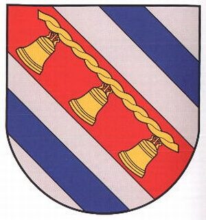
Wappen der Gemeinde Scharfbillig
Coats of Arms ID 10212
-
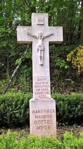
Wegekreuz
Religious Buildings Wayside Shrines and Stations of the Cross ID 33939
-
Wolfsgalgen
Field Names ID 36824
-
Über der Beienwies
Field Names ID 48258
-
Römische Fundstelle
Settlements Find Sites ID 12658
-
Ober der Kirchenwies
Field Names ID 46356
-
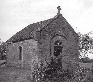
Hofkapelle am Burgweg
Religious Buildings Chapels ID 1678
-
Römische Siedlung
Settlements Settlements ID 12237
-
Streufunde römischer Keramik
Settlements Find Sites ID 12238
-
In der Muhl
Field Names ID 52193
-
Ehemaliger Steinbruch
Economy, Trade and Transport Extraction and Processing of Raw Materials ID 19147
-
Mühlenkreuz
Religious Buildings Wayside Shrines and Stations of the Cross ID 25666
-
Auf Häßelrath
Field Names ID 43793
-
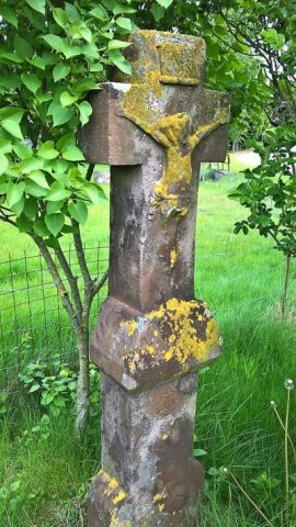
Schaftkreuz bei Mittelwies
Religious Buildings Wayside Shrines and Stations of the Cross ID 9512
-
Ehemaliger Steinbruch
Economy, Trade and Transport Extraction and Processing of Raw Materials ID 44634
-
An der Wolfsdel
Field Names ID 36886
-
Auf Gimpelsrech
Field Names ID 29848
-
Aufm Scheid
Field Names ID 28629
-
Aufm Werth
Field Names ID 35480
-
Bungert
Field Names ID 28172
-
Ehemaliger Hof Ginneberg
Settlements Deserted Settlements ID 46557
-
Fundstellen tierischer Versteinerungen
Geological Features Fossils ID 50905
-
Fundstreuung römischer Keramik
Settlements Find Sites ID 12240
-
Im Grund
Field Names ID 46841
-
In Wolfsdelsberg
Field Names ID 36888
-
In der Wolfsdell
Field Names ID 36883
-
Keltische Fliehburg auf dem Hardtberg
Fortifications and Military Sites Ring Forts ID 1679
-
Ortsgeschichte Schleid
Place Names / Local History ID 1676
-
Römische Siedlungsstelle
Settlements Settlements ID 12241
-
Römisches Brandgrab
Burials Cremation Graves ID 12812
-
Schaftkreuz von 1661
Religious Buildings Wayside Shrines and Stations of the Cross ID 9515
-
Schaftkreuz von 1721
Religious Buildings Wayside Shrines and Stations of the Cross ID 9513
-
Schaftkreuz von 1760
Religious Buildings Wayside Shrines and Stations of the Cross ID 9514
-
Schaftkreuz von 1843
Religious Buildings Wayside Shrines and Stations of the Cross ID 25667
-
Streuung römischer Keramik
Settlements Find Sites ID 12239
-
Unten in der Wolfsdell
Field Names ID 36884
-
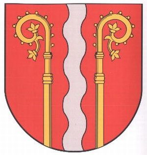
Wappen der Gemeinde Schleid
Coats of Arms ID 10211
-
Wegekreuz
Religious Buildings Wayside Shrines and Stations of the Cross ID 9511
-
Wegekreuz
Religious Buildings Wayside Shrines and Stations of the Cross ID 30552