Bitburger Land
3,990 heritage sites in the collective municipality of Bitburger Land in the Kulturdatenbank Region Trier.
The map shows all 3,990 results.
-
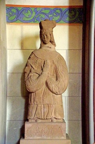
Sankt Laurentius - Figur des heiligen Nepomuk
Katholische Pfarrkirche
Religious Buildings Wayside Shrines and Stations of the Cross ID 52093
-
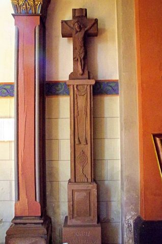
Sankt Laurentius - Wegekreuz
Katholische Pfarrkirche
Religious Buildings Wayside Shrines and Stations of the Cross ID 52094
-
Unter der alten Steinkaul
Field Names ID 27678
-
Unterm Scheid
Field Names ID 28689
-
Unterstallhaus
Residential and Farm Buildings Farmhouses and Farm Buildings ID 25645
-
Unterste Mühle an der Nims
Engineering Structures and Industrial Sites Mills ID 7803
-
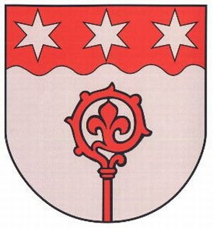
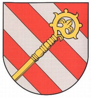
Wappen der Gemeinde Seffern
Coats of Arms ID 10210
-
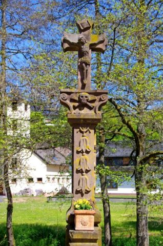
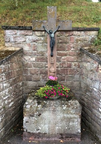
Wegekreuz
Religious Buildings Wayside Shrines and Stations of the Cross ID 25616
-
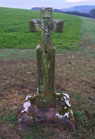
Wegekreuz am Balesfelder Bach
Religious Buildings Wayside Shrines and Stations of the Cross ID 25613
-
Wegekreuz gegenüber dem Friedhof
Religious Buildings Wayside Shrines and Stations of the Cross ID 41460
-
Wegekreuz von 1881
Religious Buildings Wayside Shrines and Stations of the Cross ID 25665
-
Wohnhaus
Residential and Farm Buildings Farmhouses and Farm Buildings ID 25649
-
Öl- und Sägemühle am Balesfelder Bach
Engineering Structures and Industrial Sites Mills ID 10113
-
Heinzenhof
Residential and Farm Buildings Farmhouses and Farm Buildings ID 10280
-
Ortsgeschichte In der Hausbach
Place Names / Local History ID 10281
-
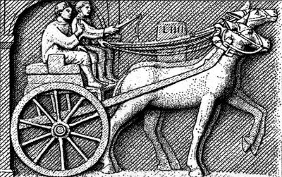
Spuren einer Römerstraße
Economy, Trade and Transport Road Transport ID 4667
-
Auf dem Messenweg
Field Names ID 38389
-
Auf dem Roth
Field Names ID 43517
-
Auf der Steinkaul
Field Names ID 27681
-
Barockes Nischenkreuz
Am Wirtschaftsgebäude Bitburger Straße 1
Religious Buildings Wayside Shrines and Stations of the Cross ID 11750
-
Bei Apfelborn
Field Names ID 31768
-
Bei Apfelborn
Field Names ID 31769
-
Beim Hotzmaar
Field Names ID 35792
-
Beim tiefen Maar
Field Names ID 35793
-
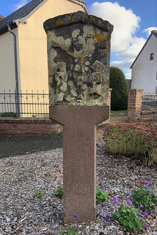
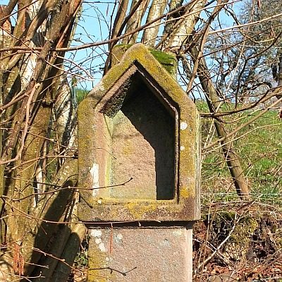
Bildstockfragment
Religious Buildings Wayside Shrines and Stations of the Cross ID 11749
-
Ehemaliger Steinbruch
Economy, Trade and Transport Extraction and Processing of Raw Materials ID 47010
-
Flurküchenhaus
Residential and Farm Buildings Farmhouses and Farm Buildings ID 11755
-
Fundstellen tierischer Versteinerungen
Geological Features Fossils ID 50998
-
Im Helderberg
Field Names ID 40094
-
Im Wolfswinkel
Field Names ID 36873
-
In Hohendell
Field Names ID 45474
-
In Rodersbach
Field Names ID 43095
-
In der Dell
Field Names ID 45141
-
In der Kerdell
Field Names ID 45291
-
In der Wolfskaul
Field Names ID 36867
-
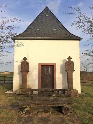
Kreuzwegkapelle
Religious Buildings Chapels ID 7455
-
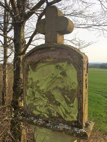
Kreuzwegstation
Religious Buildings Wayside Shrines and Stations of the Cross ID 25658
-
Kreuzwegstation
Religious Buildings Wayside Shrines and Stations of the Cross ID 25659
-
Kreuzwegstation
Religious Buildings Wayside Shrines and Stations of the Cross ID 25660
-
Kreuzwegstation
Religious Buildings Wayside Shrines and Stations of the Cross ID 25661
-
Krobenkreuz
Religious Buildings Wayside Shrines and Stations of the Cross ID 32619
-
Nischenkreuz
Religious Buildings Wayside Shrines and Stations of the Cross ID 11748
-
Ortsgeschichte Sefferweich
Place Names / Local History ID 1683
-
Portalgewände
Residential and Farm Buildings Farmhouses and Farm Buildings ID 11746
-
Römische Brandgräber
Burials Cremation Graves ID 12814
-
Römische Mauerreste
Settlements Settlements ID 12815
-
Römische Siedlung
Settlements Settlements ID 1684
-
Römische Spolie
Settlements Settlements ID 12944