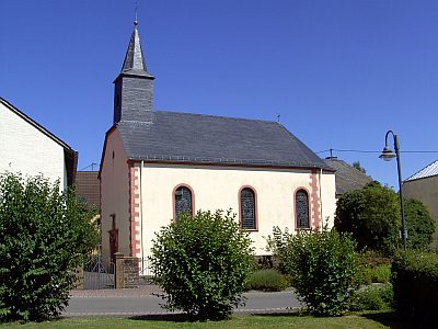
Bitburger Land
3,990 heritage sites in the collective municipality of Bitburger Land in the Kulturdatenbank Region Trier.
The map shows all 3,990 results.
-
In den Brüchern
Field Names ID 52089
-
Königlicher Forst Gerolstein
Field Names Forest Names ID 49309
-
Luderborn
Field Names ID 31726
-
Mauvoll
Field Names ID 25639
-
Mühlenberg
Field Names ID 25640
-
Pfarrhaus
Administrative Buildings Rectories ID 57520
-
Römisches Heiligtum
Religious Buildings Temples, Sanctuaries ID 12945
-
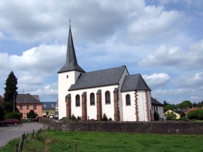
Sankt Dionysius
Religious Buildings Catholic Churches ID 635
-
Schiewisch-Kreuz am Friedhof
Religious Buildings Wayside Shrines and Stations of the Cross ID 7508
-
Trangelspesch
Field Names ID 27486
-
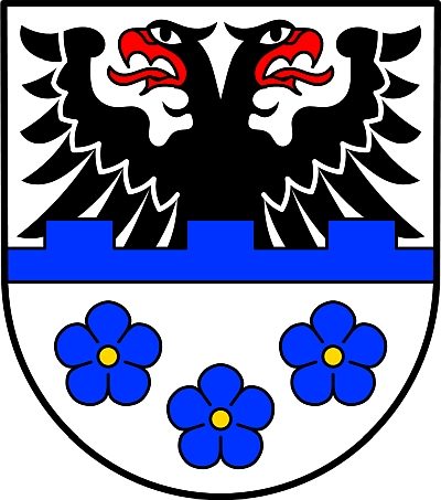
Wappen der Gemeinde Seinsfeld
Coats of Arms ID 5431
-
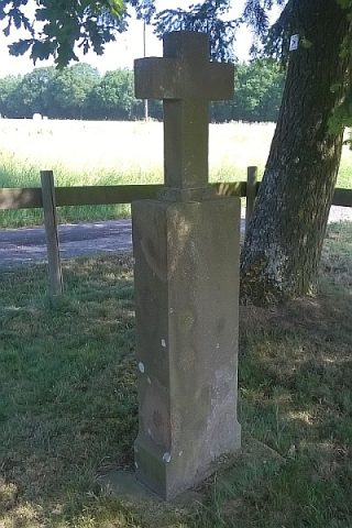
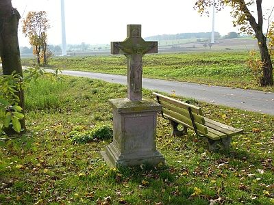
Wegekreuz
Religious Buildings Wayside Shrines and Stations of the Cross ID 7507
-
Wegekreuz
Religious Buildings Wayside Shrines and Stations of the Cross ID 25609
-
Wegekreuz
Religious Buildings Wayside Shrines and Stations of the Cross ID 25610
-
Wegekreuz
Religious Buildings Wayside Shrines and Stations of the Cross ID 25612
-
Über der Sauerwiese
Field Names ID 34479
-
Gründchen
Field Names ID 44975
-
Sauerwiese
Field Names ID 34533
-
Dankeskreuz am sogenannten Lehmweg
Religious Buildings Wayside Shrines and Stations of the Cross ID 17666
-
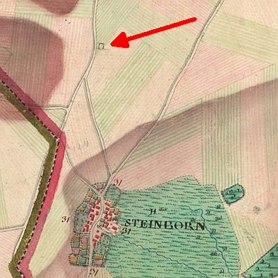
Ehemaliger Hof Raeckert
Settlements Deserted Settlements ID 45809
-
Im Seitert
Field Names ID 41613
-
Büdesdell
Field Names ID 44898
-
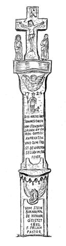
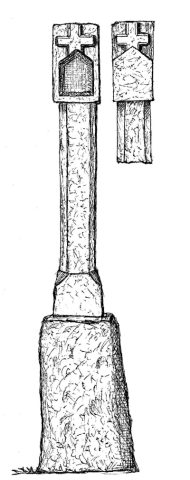
Schaftkreuz von 1727
An der Straße nach Seinsfeld
Religious Buildings Wayside Shrines and Stations of the Cross ID 11329
-
Scholzenhof
Residential and Farm Buildings Farmhouses and Farm Buildings ID 11328
-
Auf den Stöcken
Field Names ID 25630
-
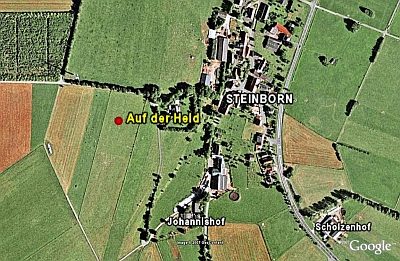
Auf der Held
Field Names ID 40098
-
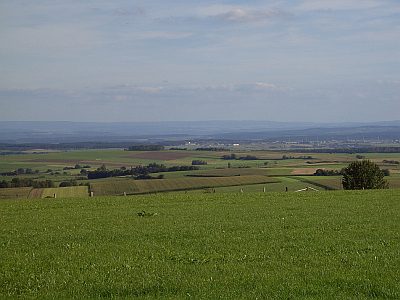
Aussichtspunkt Auf der Held
Viewpoints ID 9134
-
Beim Heiligenhäuschen
Field Names ID 25633
-
Borngarten
Field Names ID 31737
-
Dörrendellt
Field Names ID 25629
-
Ehemaliger Galgen
Legal Monuments Execution Sites ID 13437
-
Ehemaliger Kalkofen
Economy, Trade and Transport Lime Kilns ID 19328
-
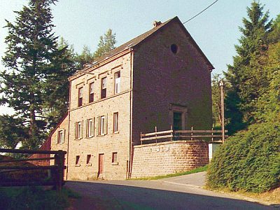
Ehemaliges Schulhaus
Educational Institutions Schools ID 11333
-
Elsterheck
Field Names ID 25634
-
Gehöft
Residential and Farm Buildings Farmhouses and Farm Buildings ID 11331
-
In der Bedesdell
Field Names ID 45126
-
In der Wolfskaul
Field Names ID 36882
-
Leimkaul
Field Names ID 25628
-
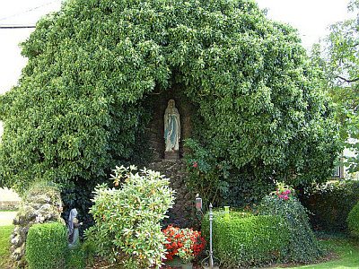
Lourdes-Mariengrotte
Religious Buildings Marian Grottoes ID 34984
-
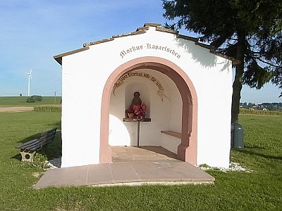
Markuskapelle
Religious Buildings Chapels ID 11330
-
Ober der Burg
Field Names ID 25631
-
Ortsgeschichte Steinborn
Place Names / Local History ID 3728
-
Römische Brandgräber
Burials Cremation Graves ID 12958
-
Römische Signalstation
Markers and Monuments Surveying ID 9136
-
Römische Steinplattengräber
Burials Cremation Graves ID 13081