Daun
2,718 heritage sites in the collective municipality of Daun in the Kulturdatenbank Region Trier.
The map shows all 2,718 results.
-
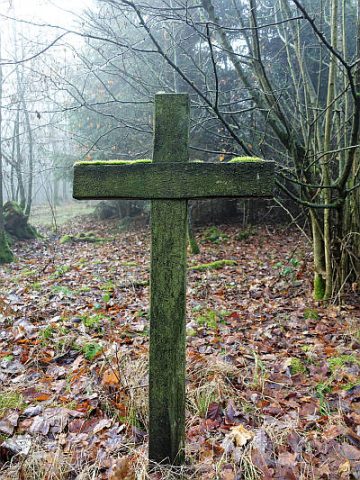
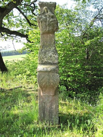
Wegekreuz
Religious Buildings Wayside Shrines and Stations of the Cross ID 26265
-
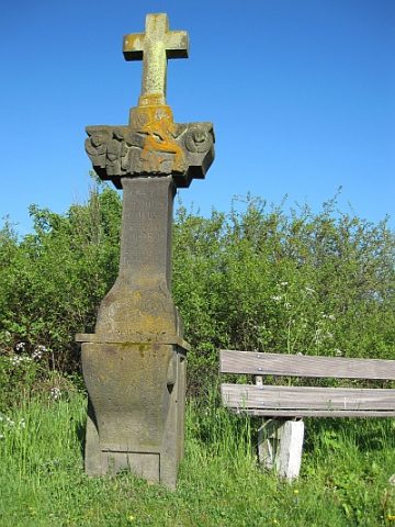
Wegekreuz
Religious Buildings Wayside Shrines and Stations of the Cross ID 26267
-
Wegekreuz
Religious Buildings Wayside Shrines and Stations of the Cross ID 30366
-
Im Dellchen
Field Names ID 45034
-
Auf Buchholz
Field Names ID 41875
-
Auf'm Klopp
Field Names ID 38278
-
Auf'm Werth
Field Names ID 35483
-
Ehemalige Niederungsburg Saxler
Fortifications and Military Sites Castles ID 34877
-
Erste Erwähnung von Sachsler
Place Names / Local History ID 3374
-
Im Klopp
Field Names ID 38282
-
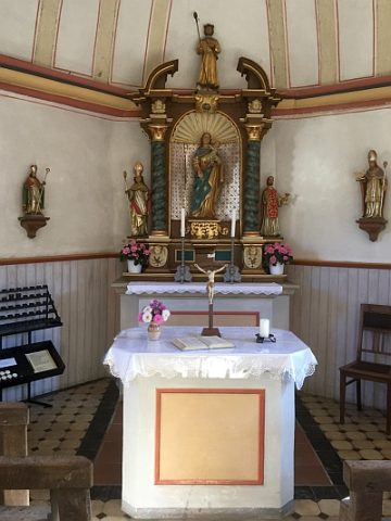
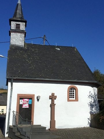
Sankt Wendelinus - Ausstattung
Katholische Filialkirche
Religious Buildings Catholic Churches ID 41464
-
Sankt Wendelinus - Wegekreuz
Katholische Filialkirche
Religious Buildings Wayside Shrines and Stations of the Cross ID 41462
-
Siedlungsstelle
Settlements Settlements ID 12392
-
Unterm Niederborn
Field Names ID 31921
-
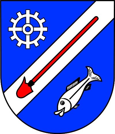
Wappen der Gemeinde Saxler
Coats of Arms ID 3448
-
Wegekreuz
Religious Buildings Wayside Shrines and Stations of the Cross ID 26308
-
Wegekreuz
Religious Buildings Wayside Shrines and Stations of the Cross ID 26309
-
Wegekreuz
Religious Buildings Wayside Shrines and Stations of the Cross ID 26311
-
Wegekreuz
Religious Buildings Wayside Shrines and Stations of the Cross ID 26312
-
Wegekreuz
Religious Buildings Wayside Shrines and Stations of the Cross ID 26313
-
Wegekreuz
Religious Buildings Wayside Shrines and Stations of the Cross ID 26314
-
Wegekreuz
Religious Buildings Wayside Shrines and Stations of the Cross ID 26315
-
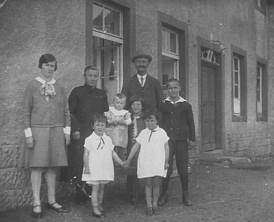
Saxlermühle im Alftal (1)
Historische Aufnahmen
Engineering Structures and Industrial Sites Mills ID 7667
-
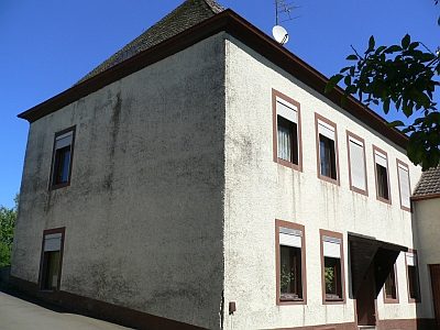
Saxlermühle im Alftal (2)
Engineering Structures and Industrial Sites Mills ID 18876
-
In der Steinkaul
Field Names ID 27779
-
Wegekreuz
Religious Buildings Wayside Shrines and Stations of the Cross ID 26310
-
Gebrannter Büsch
Field Names ID 42313
-
Vulkan Altburg
Geological Features Volcanoes ID 30147
-
Wüstung Alteburg
Settlements Deserted Settlements ID 799
-
An Sehnheld
Field Names ID 40213
-
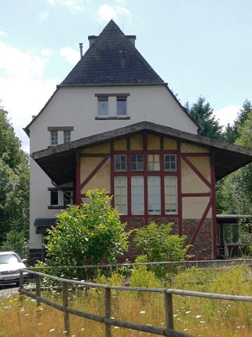
Ehemaliger Bahnhof Schalkenmehren
Engineering Structures and Industrial Sites Railways ID 2548
-
Im Seitert
Field Names ID 41559
-
In dem Hellseiters Suhr
Field Names ID 41493
-
Jenseits dem Seitert
Field Names ID 41561
-
Maar westlichlich vom Hohen List
Maars ID 30151
-
Vulkan westlichlich vom Hohen List
Maars ID 30152
-
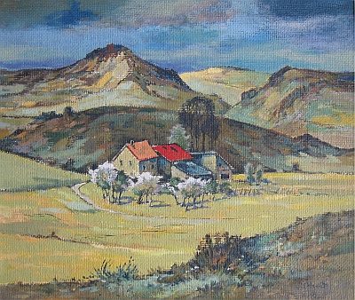
Ehemalige Ziegelei - Pannenbäckerei (1)
Gemälde von Peter Otten
Economy, Trade and Transport Extraction and Processing of Raw Materials ID 18485
-
Ehemalige Ziegelei - Pannenbäckerei (2)
Economy, Trade and Transport Extraction and Processing of Raw Materials ID 18484
-
Sogenanntes Oberstes Steinkreuz
Religious Buildings Wayside Shrines and Stations of the Cross ID 18439
-
Sogenanntes Unterstes Steinkreuz
Religious Buildings Wayside Shrines and Stations of the Cross ID 18440
-
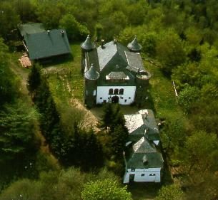
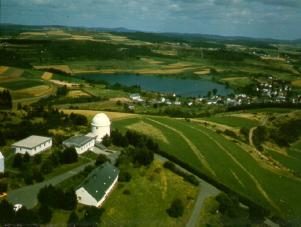
Ehemaliges Observatorium Hoher List
Engineering Structures and Industrial Sites Observatories ID 801
-
Hoher List Maar
Maars Dry Maars ID 23395
-
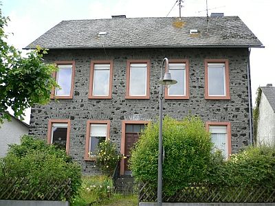
Altes Pfarrhaus
Administrative Buildings Rectories ID 17225
-
Am Mohrenpesch
Field Names ID 27444
-
Auf dem Bungert
Field Names ID 28022