Kelberg
1,135 heritage sites in the collective municipality of Kelberg in the Kulturdatenbank Region Trier.
The map shows all 1,135 results.
-
Auf Hilgerath
Field Names ID 43736
-
Ehemaliges Wegekreuz
Religious Buildings Wayside Shrines and Stations of the Cross ID 51712
-
Hinter Hilgerath
Field Names ID 43735
-
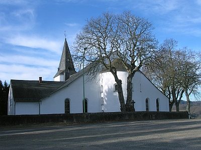
Hilgerather Kirche (1)
Katholische Pfarrkirche Sankt Hubertus
Religious Buildings Catholic Churches ID 1409
-
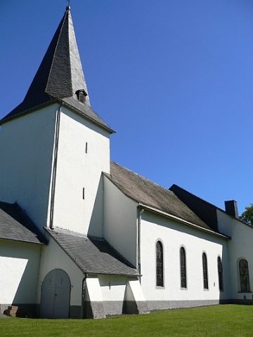
Hilgerather Kirche (2)
Katholische Pfarrkirche Sankt Hubertus
Religious Buildings Catholic Churches ID 15680
-
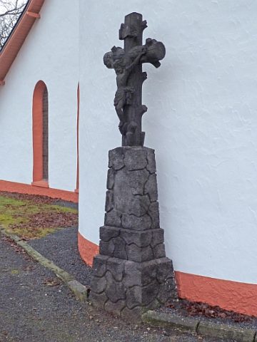
Hilgerather Kirche - Kreuz
Katholische Pfarrkirche Sankt Hubertus
Religious Buildings Catholic Churches ID 23085
-
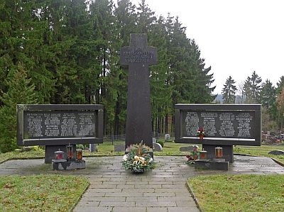
Hilgerather Kirche - Kriegerdenkmal
Markers and Monuments War Memorials ID 16248
-
Hilgerather Kirche - Wallfahrtsstätte
Kath. Pfarrkirche Sankt Hubertus
Religious Buildings Pilgrimage Sites ID 2752
-
Wüstung Hilgerath
Settlements Deserted Settlements ID 34874
-
Auf dem Hörnsdriesch
Field Names ID 29567
-
Auf dem Schmittenpesch
Field Names ID 27332
-
Auf dem Stappenpesch
Field Names ID 27333
-
Auf der Kehr
Field Names ID 38131
-
Aussichtspunkt Steiwelsberg
Viewpoints ID 4296
-
Bei Kosterssuhr
Field Names ID 48887
-
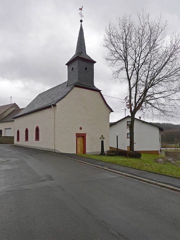
Brigida-Kapelle
Religious Buildings Chapels ID 16249
-
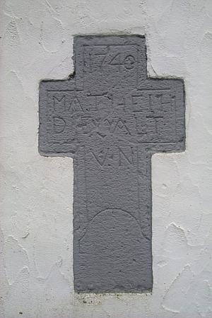
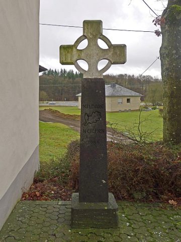
Brigida-Kreuz vor der Kapelle
Religious Buildings Wayside Shrines and Stations of the Cross ID 16250
-
Ehemaliges Reiterskreuz
Religious Buildings Wayside Shrines and Stations of the Cross ID 51711
-
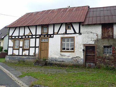
Fachwerkhaus
Residential and Farm Buildings Farmhouses and Farm Buildings ID 17188
-
Fachwerkhaus eines Winkelhofs
Residential and Farm Buildings Farmhouses and Farm Buildings ID 35196
-
Heiligenhäuschen Im Backesgarten
Religious Buildings Wayside Shrine Houses ID 19921
-
Hinter dem Krummenseifen
Field Names ID 42447
-
Im Dellchen
Field Names ID 45035
-
Im Krummenfeld
Field Names ID 42332
-
Im Krummenseifen
Field Names ID 42480
-
Im Pfennigrech
Field Names ID 29974
-
Im Rosengarten
Field Names ID 44395
-
Im Rothbüsch
Field Names ID 43229
-
Im Rothbüschsuhr
Field Names ID 43403
-
Ober dem Krummenfeld
Field Names ID 42373
-
Ortsgeschichte Neichen
Place Names / Local History ID 3131
-
Römische Siedlungsstelle
Settlements Settlements ID 12016
-
Sauerbrunnen
Springs Mineral Springs ID 52615
-
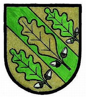
Wappen der Gemeinde Neichen
Coats of Arms ID 10067
-
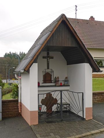
Wegekapelle (1)
Religious Buildings Chapels ID 19918
-
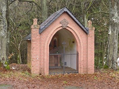
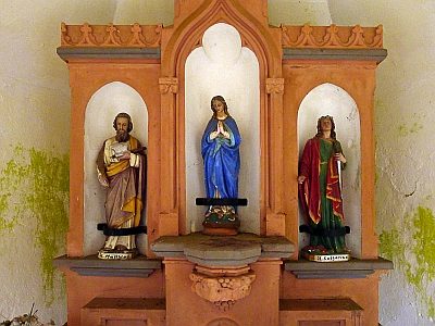
Wegekapelle (2)
Religious Buildings Chapels ID 19915
-
Wegekreuz
Religious Buildings Wayside Shrines and Stations of the Cross ID 32997
-
Wegekreuz
Religious Buildings Wayside Shrines and Stations of the Cross ID 32998
-
Wegekreuz
Religious Buildings Wayside Shrines and Stations of the Cross ID 32999
-
Wegekreuz
Religious Buildings Wayside Shrines and Stations of the Cross ID 33000
-
Wegekreuz
Religious Buildings Wayside Shrines and Stations of the Cross ID 33001
-
Wegekreuz
Religious Buildings Wayside Shrines and Stations of the Cross ID 33002
-
Wegekreuz
Religious Buildings Wayside Shrines and Stations of the Cross ID 33006
-
Freunds-Mühle am Bierschbach
Engineering Structures and Industrial Sites Mills ID 7610
-
Auf der Acht ober dem Nitzer Weg
Field Names ID 35394