Saarburg-Kell
3,302 heritage sites in the collective municipality of Saarburg-Kell in the Kulturdatenbank Region Trier.
The map shows all 3,302 results.
-
Westwall - Schartenturm
Fortifications and Military Sites Fortresses and Bunkers ID 22738
-
Westwall - Schartenturm
Fortifications and Military Sites Fortresses and Bunkers ID 22739
-
Westwall - Schartenturm
Fortifications and Military Sites Fortresses and Bunkers ID 22757
-
Westwall - Schartenturm
Fortifications and Military Sites Fortresses and Bunkers ID 22762
-
Westwall - Schartenturm
Fortifications and Military Sites Fortresses and Bunkers ID 22787
-
Westwall - Schartenturm
Fortifications and Military Sites Fortresses and Bunkers ID 22788
-
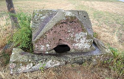
Widdertshäuschen - Römischer Grabbau
Burials Burial Mounds ID 1256
-
Zum Wirtzborn
Field Names ID 30650
-
Antoniusberg
Vineyard Sites ID 46412
-
König-Johann-Berg
Vineyard Sites ID 46411
-
Fundstellen tierischer Versteinerungen
Geological Features Fossils ID 50936
-
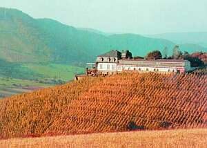
Weingut Schloss Saarstein
Residential and Farm Buildings Manorial Residences and Estate Buildings ID 2872
-
Herrenberg
Vineyard Sites ID 46420
-
Kupp
Vineyard Sites ID 46418
-
Kupp
Vineyard Sites ID 46421
-
Würtzberg
Vineyard Sites ID 46419
-
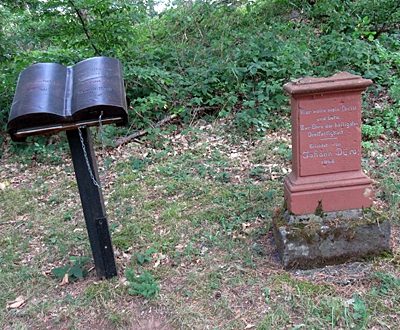
Wegekreuz
Religious Buildings Wayside Shrines and Stations of the Cross ID 25573
-
Westwall - Schartenstand
Fortifications and Military Sites Fortresses and Bunkers ID 22790
-
Lütgeneiche
Trees Oaks ID 8090
-
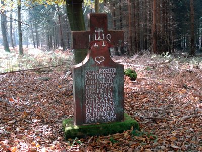
Sogenanntes Pitterkreuz
Religious Buildings Wayside Shrines and Stations of the Cross ID 8168
-
Aussichtspunkt Maunert
Viewpoints ID 2229
-
Barschels Kreuz
Wegekreuz(rest)
Religious Buildings Wayside Shrines and Stations of the Cross ID 52632
-
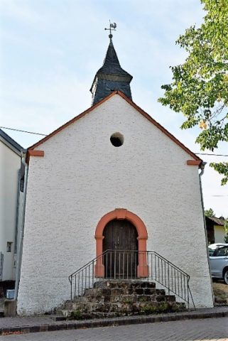
Katholische Kapelle
Religious Buildings Chapels ID 24217
-
Ortsname Hamm
Place Names / Local History ID 10604
-
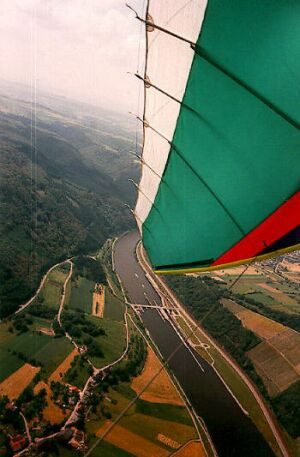
Staustufe Serrig
Engineering Structures and Industrial Sites Shipping ID 1853
-
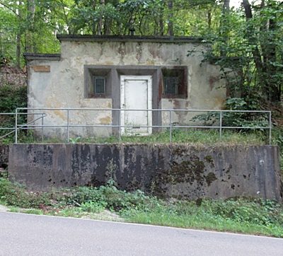
Wasserbehälter
Water Supply ID 52633
-
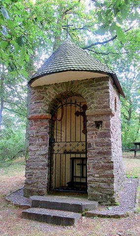
Wegekapelle an der Kreisstraße 128
Religious Buildings Chapels ID 8170
-
Bei der Leimkaul
Field Names ID 35827
-
Ehemalige Furt
Economy, Trade and Transport Fords ID 40979
-
Ehemalige Furt
Economy, Trade and Transport Fords ID 40980
-
Ehemalige Furt
Economy, Trade and Transport Fords ID 40981
-
Ehemalige Furt
Economy, Trade and Transport Fords ID 40982
-
Ehemalige Furt
Economy, Trade and Transport Fords ID 40983
-
Ehemalige Pinschbach-Furt
Economy, Trade and Transport Fords ID 40984
-
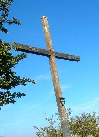
Felsformation Gipfelkreuz
Rocks ID 24584
-
Im Bungert
Field Names ID 28284
-
Sangbungert
Field Names ID 28100
-
Sangrech
Field Names ID 29580
-
Westwall - Doppelschartenstand
Fortifications and Military Sites Fortresses and Bunkers ID 22792
-
Neben dem großen Roth
Field Names ID 43199
-
Unterm großen Roth
Field Names ID 43202
-
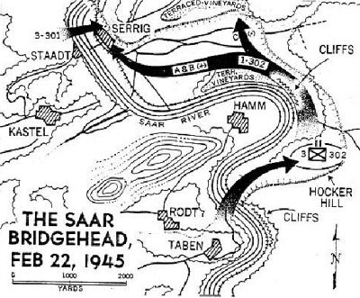
Brückenkopf über die Saar bei Taben
Place Names / Local History Battlefields ID 8022
-
Gefellröder
Field Names ID 42101
-
Lohmühle am Breinsbach
Engineering Structures and Industrial Sites Mills ID 7702
-
Ehemaliger Steinbruch
Economy, Trade and Transport Extraction and Processing of Raw Materials ID 47324
-
Kalkstein-Abbau Seilbahn-Talstation
Economy, Trade and Transport Extraction and Processing of Raw Materials ID 50525
-
Quarzit-Steinbruch
Economy, Trade and Transport Extraction and Processing of Raw Materials ID 2824