Trier-Land
3,433 heritage sites in the collective municipality of Trier-Land in the Kulturdatenbank Region Trier.
The map shows all 3,433 results.
-
Ehemaliger Meilerplatz
Economy, Trade and Transport Charcoal Kilns ID 54322
-
Ehemaliger Meilerplatz
Economy, Trade and Transport Charcoal Kilns ID 54323
-
Ehemaliger Meilerplatz
Economy, Trade and Transport Charcoal Kilns ID 54324
-
Ehemaliger Meilerplatz
Economy, Trade and Transport Charcoal Kilns ID 54325
-
Ehemaliger Steinbruch
Economy, Trade and Transport Extraction and Processing of Raw Materials ID 35136
-
Ehemaliger Steinbruch
Economy, Trade and Transport Extraction and Processing of Raw Materials ID 38875
-
Ehemaliger Steinbruch
Economy, Trade and Transport Extraction and Processing of Raw Materials ID 38883
-
Ehemaliger Steinbruch am Burbach
Economy, Trade and Transport Extraction and Processing of Raw Materials ID 18742
-
Ehemaliger Steinbruch am Löwenkopf
Economy, Trade and Transport Extraction and Processing of Raw Materials ID 18743
-
Ehemaliger Steinbruch am Löwenkopf
Economy, Trade and Transport Extraction and Processing of Raw Materials ID 18744
-
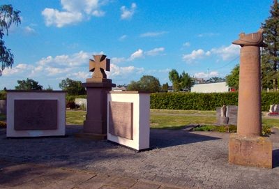
Ehrenmal für die Gefallenen der beiden Weltkriege
Markers and Monuments War Memorials ID 49467
-
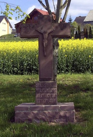
Fastnachtskreuz
Religious Buildings Wayside Shrines and Stations of the Cross ID 13465
-
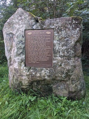
Findling mit Tafel - Doktor Wald
Markers and Monuments Monuments ID 53217
-
Grabhügel
Burials Burial Mounds ID 46612
-
Grabhügel
Burials Burial Mounds ID 46613
-
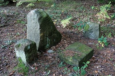
Gruppe von Marksteinen
Markers and Monuments ID 49647
-
Hummelborn
Field Names ID 31322
-
Im Friedbüsch
Field Names Forest Names ID 51244
-
Im Friedbüsch
Field Names Forest Names ID 51245
-
Im Pesch
Field Names ID 40600
-
Im Rothenberg
Field Names ID 43582
-
Im Sabel
Field Names ID 42897
-
Kappesstücker
Field Names ID 41674
-
Kesselstattswald
Field Names ID 52903
-
Kriegergedächtniskreuz
An der Straße Rodt-Schleidweiler
Markers and Monuments War Memorials ID 13466
-
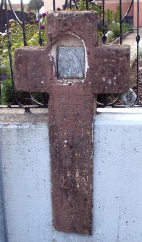
Nischenkreuz
Religious Buildings Wayside Shrines and Stations of the Cross ID 13467
-
Nonnenberg
Field Names ID 36378
-
Ober den Kappesstücker
Field Names ID 41711
-
Ortsname / Ortsgeschichte
Place Names / Local History ID 4607
-
Rothenberg
Field Names ID 43624
-
Römische Siedlung
Settlements Settlements ID 12419
-
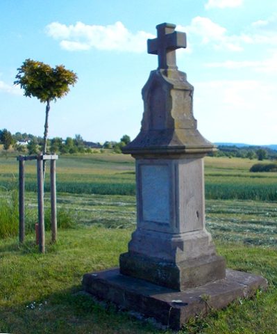
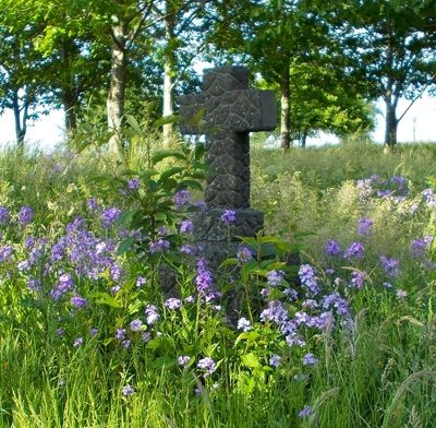
Schaftkreuz
Religious Buildings Wayside Shrines and Stations of the Cross ID 4612
-
Trigonometrisches Signal Auf Honig
Markers and Monuments Surveying ID 44577
-
Wegekreuz
Religious Buildings Wayside Shrines and Stations of the Cross ID 49466
-
Über dem Kesselstattsmorgen
Field Names ID 29237
-
Über dem Kesselstattsmorgen
Field Names ID 52904
-
Am Rothenberg
Field Names ID 43472
-
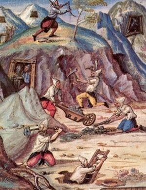
Aufgelassener Bergbau
Economy, Trade and Transport Extraction and Processing of Raw Materials ID 50559
-
Aufgelassener Bergbau
Economy, Trade and Transport Extraction and Processing of Raw Materials ID 50560
-
Aufgelassener Bergbau
Economy, Trade and Transport Extraction and Processing of Raw Materials ID 50561
-
Landhaus Königseiffen
Residential and Farm Buildings Farmhouses and Farm Buildings ID 9950
-
Rothaus
Hofgut an der Landesstraße 143
Residential and Farm Buildings Farmhouses and Farm Buildings ID 9949
-
Auf dem Blauderbornberge
Field Names ID 31365