Trier-Land
3,433 heritage sites in the collective municipality of Trier-Land in the Kulturdatenbank Region Trier.
The map shows all 3,433 results.
-
Ehemaliges Kloster Winterbach
Settlements Deserted Settlements ID 4134
-
Eifelbahn (Denkmalzone)
Engineering Structures and Industrial Sites Railways ID 4635
-
Erste Erwähnung als Fundus Rivus
Place Names / Local History ID 4625
-
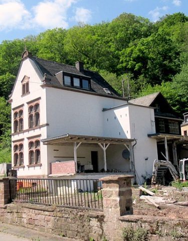
Jugendstilhaus gegenüber dem Bahnhof
Residential and Farm Buildings Town Houses and Commercial Buildings ID 13470
-
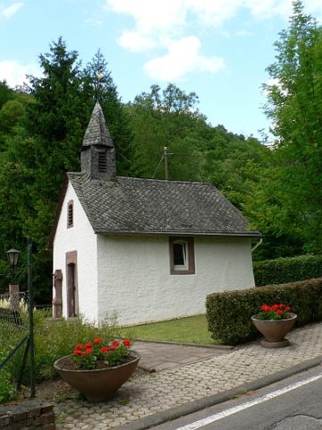
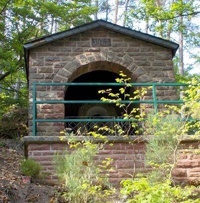
Kapelle
Religious Buildings Chapels ID 4619
-
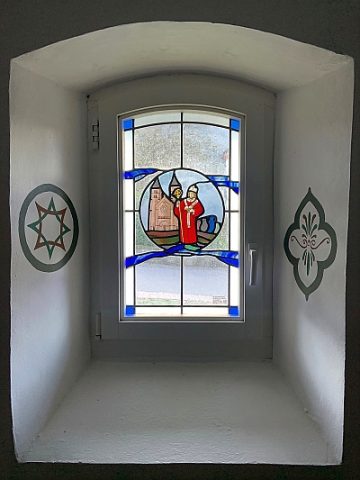
Kapelle - Ausstattung
Religious Buildings Chapels ID 52363
-
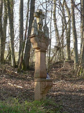
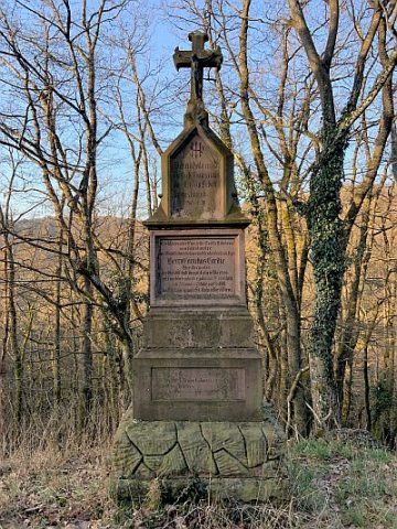
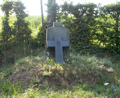
Mordkreuz zwischen Orenhofen und Daufenbach (1)
Religious Buildings Wayside Shrines and Stations of the Cross ID 4618
-
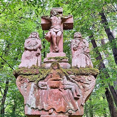
Mordkreuz zwischen Orenhofen und Daufenbach (2)
Religious Buildings Wayside Shrines and Stations of the Cross ID 57400
-
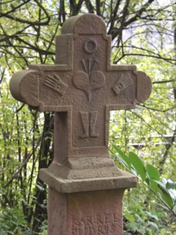
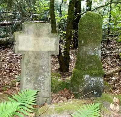
Pfeilerkreuz
Religious Buildings Wayside Shrines and Stations of the Cross ID 4615
-
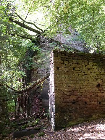
Ruine der Heldmühle
Engineering Structures and Industrial Sites Mills ID 11731
-
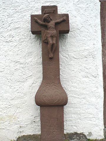
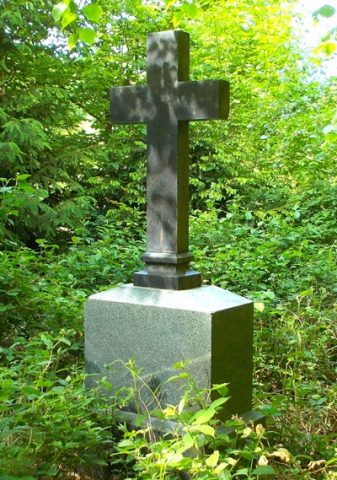
Schaftkreuz an der katholischen Kapelle
Religious Buildings Wayside Shrines and Stations of the Cross ID 9962
-
Sogenanntes Endries-Kreuz
Religious Buildings Wayside Shrines and Stations of the Cross ID 10972
-
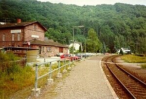
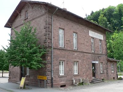
Stationsgebäude der Kyllbahn
Engineering Structures and Industrial Sites Railways ID 4610
-
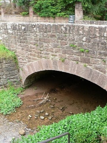
Straßenbrücke
Economy, Trade and Transport Road Transport ID 4611
-
Unter dem Rodbüsch
Field Names ID 43139
-
Deimlinger Mühle
Place Names / Local History ID 11706
-
Deimlinger Mühle im Kylltal
Engineering Structures and Industrial Sites Mills ID 7550
-
Hof Eulecken
Place Names / Local History ID 13469
-
Mariengrotte
Religious Buildings Marian Grottoes ID 13468
-
Wegekreuz
Religious Buildings Wayside Shrines and Stations of the Cross ID 26236
-
Wegekreuz
Religious Buildings Wayside Shrines and Stations of the Cross ID 26237
-
Wegekreuz
Religious Buildings Wayside Shrines and Stations of the Cross ID 26238
-
Wegekreuz
Religious Buildings Wayside Shrines and Stations of the Cross ID 51667
-
Wegekreuz
Religious Buildings Wayside Shrines and Stations of the Cross ID 51668
-
Im Rodbüsch
Field Names ID 43117
-
Unter dem Rodbüsch
Field Names ID 43071
-
Auf Honig
Field Names ID 28989
-
Auf Scheid
Field Names ID 28610
-
Auf dem Klingelrech
Field Names ID 29727
-
Auf dem Rothenberg
Field Names ID 43181
-
Auf den Stocktrieschen
Field Names ID 29404
-
Auf der Steinkaul
Field Names ID 27714
-
Ausgedehntes römisches Brandgräberfeld
Burials Cremation Graves ID 12416
-
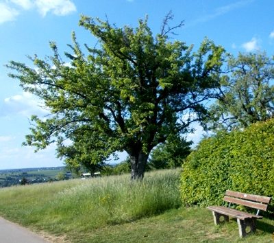
Aussichtspunkt
Viewpoints ID 33208
-
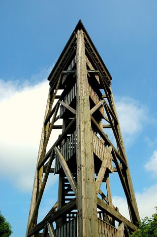
Aussichtsturm am Sportplatz
Viewpoints Observation Towers ID 2440
-
Bei dem Roderberg
Field Names ID 43129
-
Bei dem Rödborn
Field Names ID 31299
-
Beim Apfelerborn
Field Names ID 31305
-
Beim Born
Field Names ID 31327
-
Beim Güterborn
Field Names ID 31310
-
Beim Stockborn
Field Names ID 31307
-
Bornfuhr
Field Names ID 31324
-
Der Rothenberg
Field Names ID 43570
-
Ehemalige Büchelsmühle
Engineering Structures and Industrial Sites Mills ID 11712
-
Ehemalige Sandgrube
Economy, Trade and Transport Extraction and Processing of Raw Materials ID 43047
-
Ehemaliger Kreuzstumpf
Religious Buildings Wayside Shrines and Stations of the Cross ID 13464
-
Ehemaliger Meilerplatz
Economy, Trade and Transport Charcoal Kilns ID 54181