Trier-Land
3,433 heritage sites in the collective municipality of Trier-Land in the Kulturdatenbank Region Trier.
The map shows all 3,433 results.
-
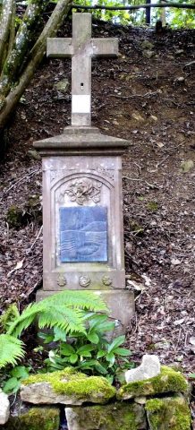
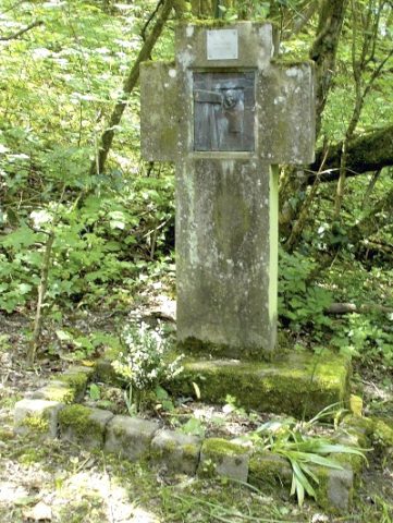
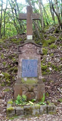
Kreuzweg auf Geid - 13. Station
Jesus wird vom Kreuz abgenommen
Religious Buildings Wayside Shrines and Stations of the Cross ID 24379
-
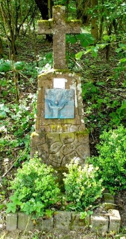
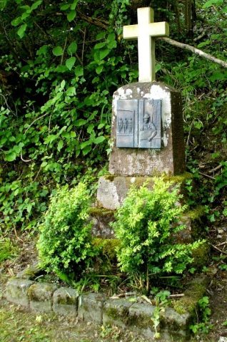
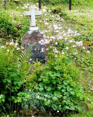
Kreuzweg auf Geid - 14. Station
Jesus wird ins Grab gelegt
Religious Buildings Wayside Shrines and Stations of the Cross ID 33344
-
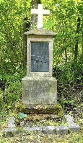
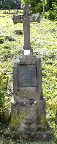
Kreuzweg auf Geid - 2. Station
Jesus nimmt das Kreuz auf sich
Religious Buildings Wayside Shrines and Stations of the Cross ID 24368
-
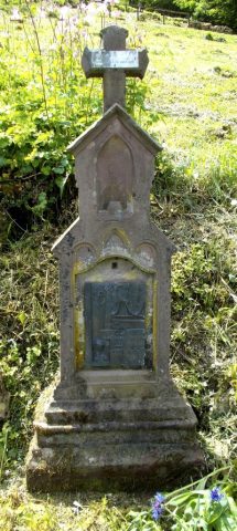
Kreuzweg auf Geid - 3. Station
Jesus fällt zum ersten Mal unter dem Kreuz
Religious Buildings Wayside Shrines and Stations of the Cross ID 24369
-
Kreuzweg auf Geid - 4. Station
Jesus begegnet seiner Mutter
Religious Buildings Wayside Shrines and Stations of the Cross ID 24370
-
Kreuzweg auf Geid - 5. Station
Simon von Cyrene hilft Jesus das Kreuz tragen
Religious Buildings Wayside Shrines and Stations of the Cross ID 24371
-
Kreuzweg auf Geid - 6. Station
Veronika reicht Jesus das Schweißtuch
Religious Buildings Wayside Shrines and Stations of the Cross ID 24372
-
Kreuzweg auf Geid - 7. Station
Jesus fällt zum zweiten Mal unter dem Kreuz
Religious Buildings Wayside Shrines and Stations of the Cross ID 24373
-
Kreuzweg auf Geid - 8. Station
Jesus begegnet den weinenden Frauen
Religious Buildings Wayside Shrines and Stations of the Cross ID 24374
-
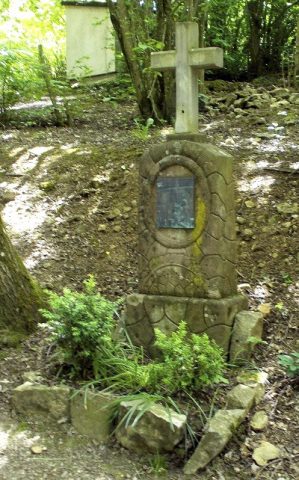
Kreuzweg auf Geid - 9. Station
Jesus fällt zum dritten Male unter dem Kreuz
Religious Buildings Wayside Shrines and Stations of the Cross ID 24375
-
Krüppelwalmdachbau
Residential and Farm Buildings Town Houses and Commercial Buildings ID 33358
-
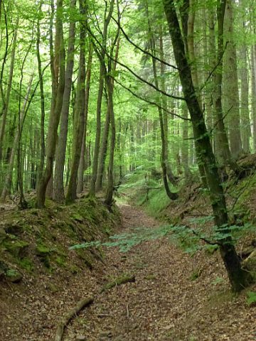
Lantieren- oder Laternerweg
Place Names / Local History Street Names ID 38943
-
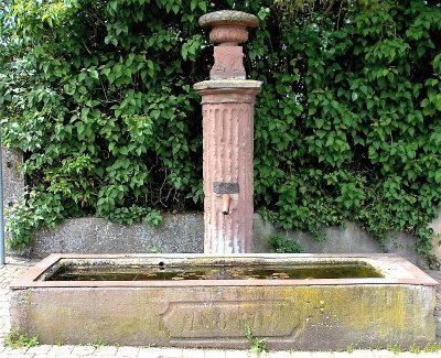
Laufbrunnen
Fountains and Wells ID 33349
-
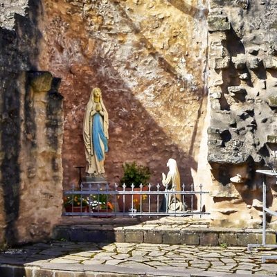
Lourdesgruppe
Religious Buildings Marian Grottoes ID 38448
-
Löwengeid
Field Names ID 26201
-
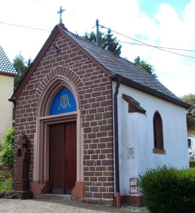
Marienkapelle
Religious Buildings Chapels ID 24382
-
Marienwies
Field Names ID 26204
-
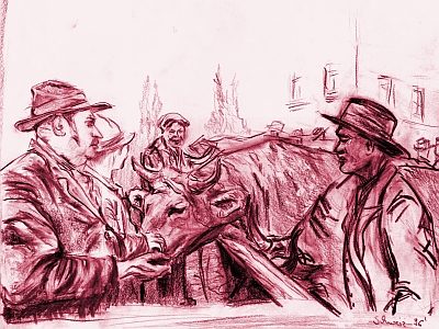
Marktort Welschbillig
Economy, Trade and Transport Market Towns ID 25937
-
Mittelste Trägerwies
Field Names ID 34091
-
Niersch
Field Names ID 34045
-
Nischenkreuz
Religious Buildings Wayside Shrines and Stations of the Cross ID 57476
-
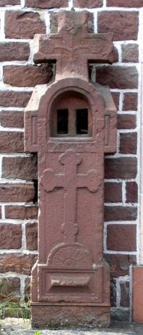
Nischenkreuz vor der Marienkapelle
Religious Buildings Wayside Shrines and Stations of the Cross ID 24381
-
Oben auf Knaulhofen
Field Names ID 34036
-
Ober Kunkelborn
Field Names ID 31245
-
Ober Rauschenfloß
Field Names ID 34054
-
Pesch
Field Names ID 34050
-
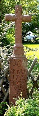
Pfeilerkreuz
Religious Buildings Wayside Shrines and Stations of the Cross ID 24383
-
Rauschenfloß
Field Names ID 34053
-
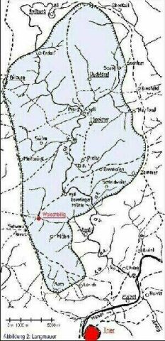
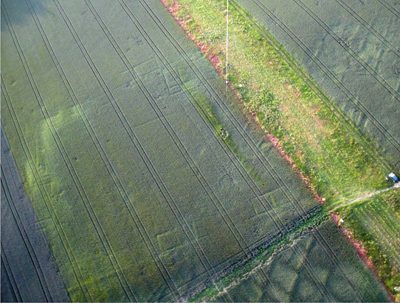
Reste der römischen Langmauer
Fortifications and Military Sites Roman Long Wall ID 51328
-
Römische Fundstelle
Settlements Find Sites ID 12439
-
Römische Ruinenstätte
Settlements Settlements ID 12436
-
Römische Siedlung
Settlements Settlements ID 1252
-
Römische Siedlung
Settlements Settlements ID 11773
-
Römische Siedlung
Settlements Settlements ID 11774
-
Römische Siedlung
Settlements Settlements ID 11776
-
Römische Siedlung Knaulöft (1)
Settlements Settlements ID 15701
-
Römische Siedlung Knaulöft (2)
Settlements Settlements ID 11775
-
Römischer Hermenweiher (1)
Settlements Settlements ID 2248
-
Römischer Hermenweiher (2)
Settlements Settlements ID 2862
-
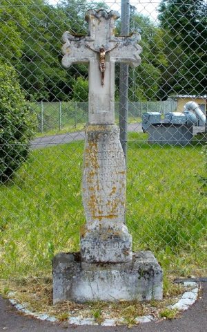
Schaftkreuz
Religious Buildings Wayside Shrines and Stations of the Cross ID 28533
-
Schaftkreuz
Religious Buildings Wayside Shrines and Stations of the Cross ID 28535
-
Schinderacker
Field Names ID 28962
-
Schlitzgraben
Field Names ID 26203
-
Schübelersch
Field Names ID 33339
-
Schübelerschkaul
Field Names ID 33340
-
Sogenannte Welschbilliger Universität
Residential and Farm Buildings Farmhouses and Farm Buildings ID 33350
-
Sombrich am Möhnerweg
Field Names ID 34087