Trier-Land
3,433 heritage sites in the collective municipality of Trier-Land in the Kulturdatenbank Region Trier.
The map shows all 3,433 results.
-
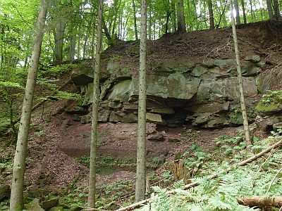
Ehemaliger Steinbruch
Economy, Trade and Transport Extraction and Processing of Raw Materials ID 38887
-
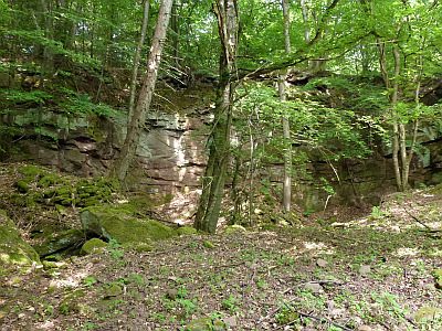
Ehemaliger Steinbruch am Brandenberg
Economy, Trade and Transport Extraction and Processing of Raw Materials ID 18625
-
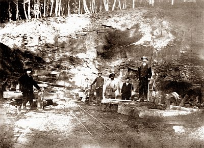
Ehemaliger Steinbruch am Brandenberg
Economy, Trade and Transport Extraction and Processing of Raw Materials ID 41307
-
Ehemaliger Steinbruch am Brandenberg
Economy, Trade and Transport Extraction and Processing of Raw Materials ID 57231
-
Ehemaliger Steinbruch im Brandenberg
Economy, Trade and Transport Extraction and Processing of Raw Materials ID 39440
-
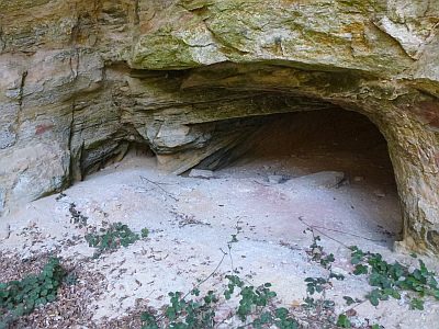
Ehemaliger Steinbruch im Brandenberg - Höhle
Caves ID 23160
-
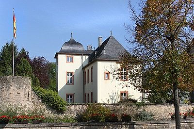
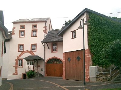
Ehemaliges Amtshaus - heute Pfarrhaus
Administrative Buildings Rectories ID 17317
-
Ehemaliges Neutor oder Neiport
Teil der Denkmalzone Stadtbefestigung
Fortifications and Military Sites Town Fortifications ID 33346
-
Ehemaliges Trierer- oder Schankstor
Teil der Denkmalzone Stadtbefestigung
Fortifications and Military Sites Town Fortifications ID 33345
-
Ehemaliges Unterste Tor oder Enneschtport
Teil der Denkmalzone Stadtbefestigung
Fortifications and Military Sites Town Fortifications ID 33347
-
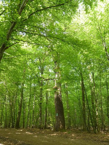
Eiche am Brandenberg
Trees Oaks ID 38868
-
Fassade mit Stadtwappen
Coats of Arms ID 33348
-
Fränkische Gräber
Burials Burial Mounds ID 8438
-
Fundamente von gallorömischen Bauten
Settlements Settlements ID 12434
-
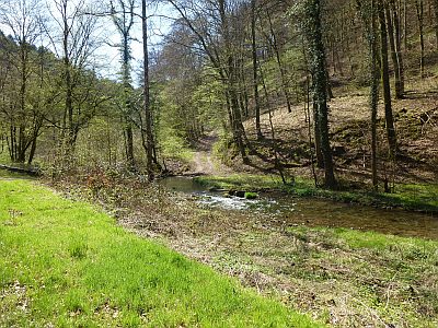
Furt durch den Welschbilliger Bach
Economy, Trade and Transport Fords ID 38203
-
Grabhügel
Burials Burial Mounds ID 12438
-
Grabhügelfeld
Burials Burial Mounds ID 12441
-
Hinten unterm Rautenberg
Field Names ID 34059
-
Hinter Kunkelborn
Field Names ID 31238
-
Hinter Löwengeid
Field Names ID 26202
-
Hinter Rauschenfloß
Field Names ID 34052
-
Hinter Schank
Field Names ID 34077
-
Historischer Nutzgarten
Parks, Gardens and Cemeteries Cottage Gardens ID 33352
-
Höhle am Welschbilliger Bach
Caves ID 23159
-
Im Brühl
Field Names ID 33322
-
Im Seel jenseits des Grabens
Field Names ID 33342
-
In Daufels
Field Names ID 33324
-
In Seel
Field Names ID 33341
-
In Sombrich
Field Names ID 34086
-
In Thäl bei Olksgarten
Field Names ID 34068
-
In den Fünfzehn Morgen
Field Names ID 29229
-
In den Jeuchen
Field Names ID 33377
-
In den Kellersfeldern
Field Names ID 34038
-
In den Kellersfeldern
Field Names ID 34039
-
In den Kindelen
Field Names ID 33368
-
In den Lochen
Field Names ID 26200
-
In den vordersten Wingerten
Vineyard Sites ID 33329
-
In der Vollerd
Field Names ID 33317
-
Jüdische Geschichte
Place Names / Local History Jewish History ID 17181
-
Kirchberg
Field Names ID 46251
-
Kirchberg unter Niersch
Field Names ID 46253
-
Knaulhofen
Field Names ID 34037
-
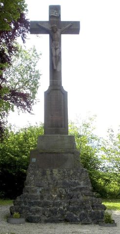
Kreuzigungsgruppe
Religious Buildings Wayside Shrines and Stations of the Cross ID 57477
-
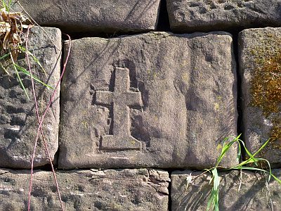
Kreuzsymbol in einer Stützmauer
Religious Buildings Wayside Shrines and Stations of the Cross ID 38206
-
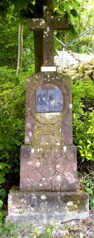
Kreuzweg auf Geid - 1. Station
Jesus wird zum Tode verurteilt
Religious Buildings Wayside Shrines and Stations of the Cross ID 24367
-
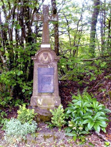
Kreuzweg auf Geid - 10. Station
Jesus wird seiner Kleider beraubt
Religious Buildings Wayside Shrines and Stations of the Cross ID 24376
-
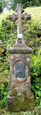
Kreuzweg auf Geid - 11. Station
Jesus wird ans Kreuz genagelt
Religious Buildings Wayside Shrines and Stations of the Cross ID 24377
-
Kreuzweg auf Geid - 12. Station - Geider Kreuz
Jesus stirbt am Kreuz
Religious Buildings Wayside Shrines and Stations of the Cross ID 24378