Wittlich-Land
3,151 heritage sites in the collective municipality of Wittlich-Land in the Kulturdatenbank Region Trier.
The map shows all 3,151 results.
-
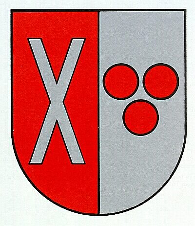
Wappen der Gemeinde Altrich
Coats of Arms ID 7853
-
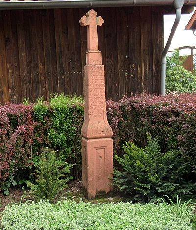
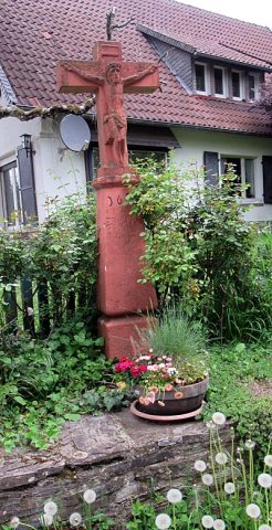
Wegekreuz
Religious Buildings Wayside Shrines and Stations of the Cross ID 1714
-
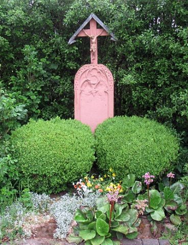
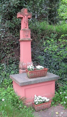
Wegekreuz
Religious Buildings Wayside Shrines and Stations of the Cross ID 15738
-
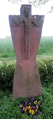
Wegekreuz
Religious Buildings Wayside Shrines and Stations of the Cross ID 33430
-
Wegekreuz
Religious Buildings Wayside Shrines and Stations of the Cross ID 33431
-
Wegekreuz
Religious Buildings Wayside Shrines and Stations of the Cross ID 33490
-
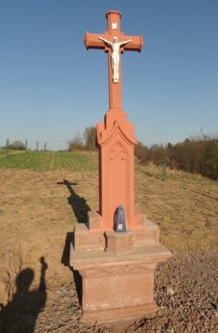
Wegekreuz nordöstlich der Ortslage
Religious Buildings Wayside Shrines and Stations of the Cross ID 14866
-
Wegekreuz östlich der Ortslage
Religious Buildings Wayside Shrines and Stations of the Cross ID 14867
-
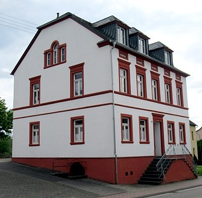
Wohnhaus
Residential and Farm Buildings Farmhouses and Farm Buildings ID 15734
-
Ehemaliger Steinbruch
Economy, Trade and Transport Extraction and Processing of Raw Materials ID 35685
-
Gehöft
Residential and Farm Buildings Farmhouses and Farm Buildings ID 15733
-
Wegekreuz
Religious Buildings Wayside Shrines and Stations of the Cross ID 15509
-
Wegekreuz Büscheider Weg
Religious Buildings Wayside Shrines and Stations of the Cross ID 15510
-
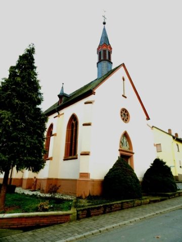
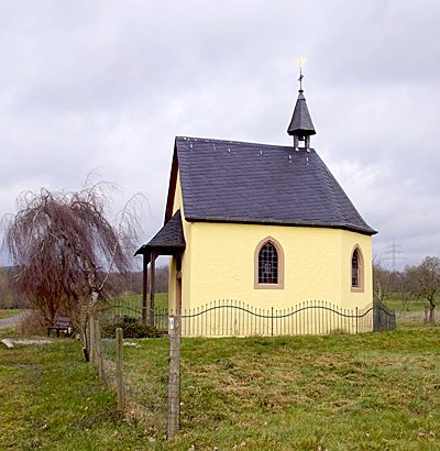
Kapelle am Gut Haardt
Religious Buildings Chapels ID 4623
-
Ortsgeschichte Gut Haardt
Place Names / Local History ID 23009
-
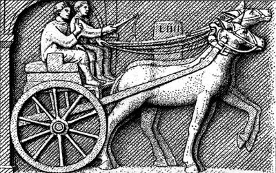
Römerstraße
Economy, Trade and Transport Road Transport ID 4719
-
Römische Reste bei Gut Haardt
Place Names / Local History ID 4717
-
Hofgut Kirchhof
Residential and Farm Buildings Farmhouses and Farm Buildings ID 4595
-
Kreuzigungsbildstock
Gut Kirchhof
Religious Buildings Wayside Shrines and Stations of the Cross ID 33491
-
Wegekreuz mit Sankt Matthias
Religious Buildings Wayside Shrines and Stations of the Cross ID 6974
-
Kapelle am Neuenhof
Religious Buildings Chapels ID 4622
-
Römische Mauerreste bei Gut Neuenhof
Settlements Settlements ID 4718
-
Aussichtspunkt
Viewpoints ID 33304
-
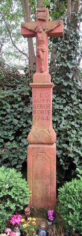
Barockes Schaftkreuz
Religious Buildings Wayside Shrines and Stations of the Cross ID 14868
-
Villa Altrich
Residential and Farm Buildings Town Houses and Commercial Buildings ID 4716
-
Auf dem Bungert
Field Names ID 28017
-
Aufm Erbespesch
Field Names ID 26968
-
Aufm Scheid
Field Names ID 28631
-
Bei der Lehmkaul
Field Names ID 35912
-
Beim Born
Field Names ID 31522
-
Beim Stielborn
Field Names ID 31518
-
Borngarten
Field Names ID 31524
-
Bungertsberg
Field Names ID 28162
-
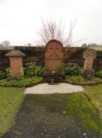
Drei Priestergrabsteine auf dem Friedhof
Religious Buildings Burial Sites ID 52666
-
Ehemalige Hassauer Mühle
Engineering Structures and Industrial Sites Mills ID 7945
-
Gruppe von fünf Grabhügeln
Burials Burial Mounds ID 12845
-
Günsterpesch
Field Names ID 40610
-
Heiligenbildchen auf dem Friedhof
Religious Buildings Burial Sites ID 52667
-
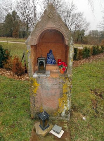
Heiligenhäuschen auf dem Friedhof
Religious Buildings Wayside Shrine Houses ID 15904
-
Im Rott
Field Names ID 43701