Wittlich-Land
3,151 heritage sites in the collective municipality of Wittlich-Land in the Kulturdatenbank Region Trier.
The map shows all 3,151 results.
-
Luziakirch - Wüstung
Settlements Deserted Settlements ID 308
-
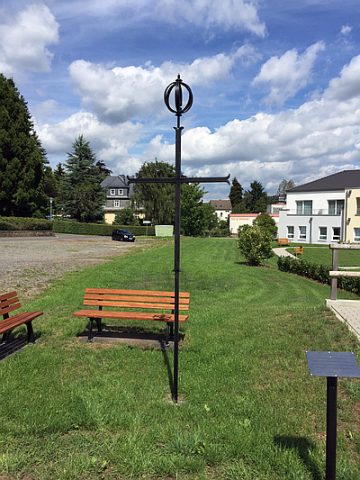
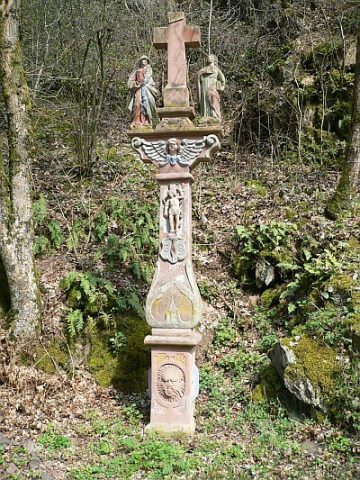
Luziakreuz
Religious Buildings Wayside Shrines and Stations of the Cross ID 47948
-
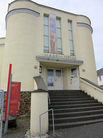
Maarmuseum
Educational Institutions Museums ID 162
-
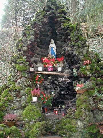
Mariengrotte am Mauspfad
Religious Buildings Marian Grottoes ID 18720
-
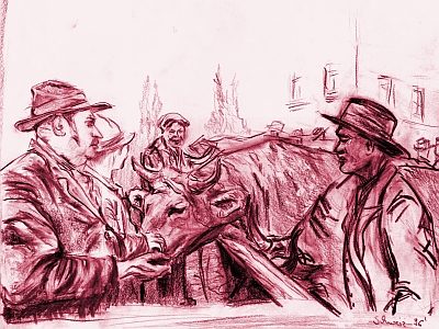
Marktort Manderscheid
Economy, Trade and Transport Market Towns ID 25970
-
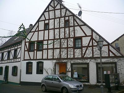
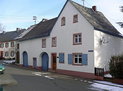
Mählich Haus
Residential and Farm Buildings Farmhouses and Farm Buildings ID 16829
-
Mühlenheld
Field Names ID 40104
-
Münzhort
Settlements Find Sites ID 12043
-
Ortsgeschichte Manderscheid
Place Names / Local History ID 1513
-
Perg unterm Pfad
Field Names ID 34211
-
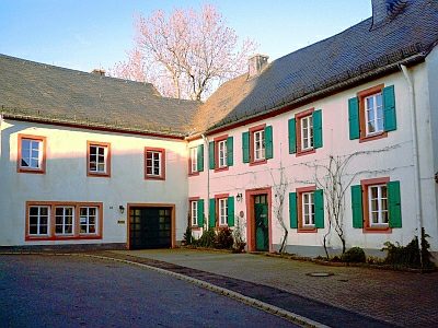
Pfarrhaus
Administrative Buildings Rectories ID 16944
-
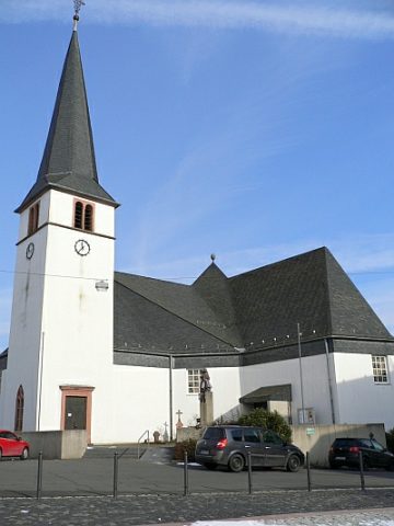
Pfarrkirche Sankt Hubertus (1)
Sogenannte Lebensbaumkirche
Religious Buildings Catholic Churches ID 13015
-
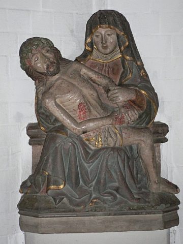
Pfarrkirche Sankt Hubertus (2)
Pietà in der sogenannten Lebensbaumkirche
Religious Buildings Catholic Churches ID 17472
-
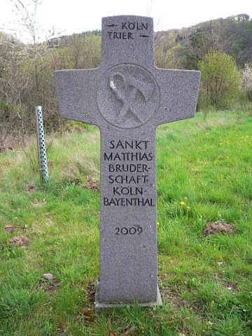
Pilgerkreuz an der Schutzhütte Hoaner Fläch
Religious Buildings Pilgrimage Routes ID 24664
-
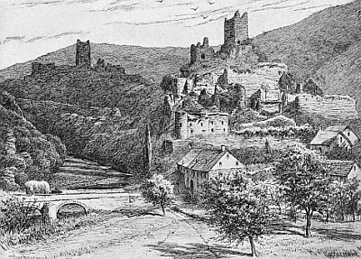
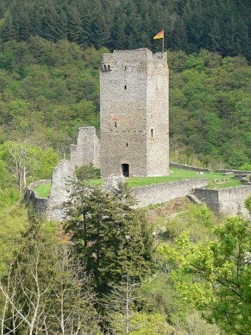
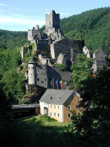
Ruine der Oberburg
Fortifications and Military Sites Castles ID 310
-
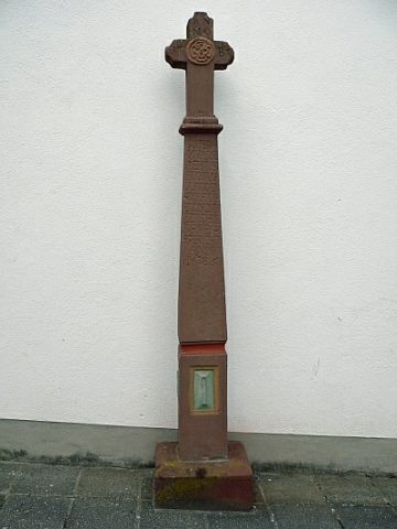
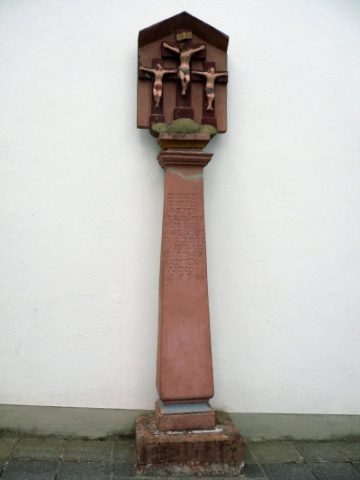
Schaftkreuz an der Kirchenmauer
Religious Buildings Wayside Shrines and Stations of the Cross ID 15873
-
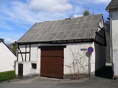
Scheune am ehemaligen Stadttor Burpoort
Residential and Farm Buildings Farmhouses and Farm Buildings ID 24665
-
Sogenanntes Frienen-Kreiz - Original
Bildstock an der Kirchenmauer
Religious Buildings Wayside Shrines and Stations of the Cross ID 15874
-
Sogenanntes Mählisch-Haus
Residential and Farm Buildings Town Houses and Commercial Buildings ID 43050
-
Stadtrechte Obermanderscheid
Chartered Towns ID 6840
-
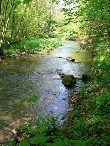
Tal der Kleinen Kyll
Natural Landscapes ID 17162
-
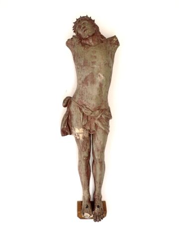
Torso des ehemaligen Friedhofskreuzes
Markers and Monuments War Memorials ID 42770
-
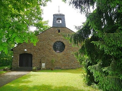
Trinitatiskirche
Religious Buildings Protestant Churches ID 24962
-
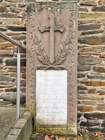
Trinitatiskirche - Grabstein von Recklinghausen
Religious Buildings Burial Sites ID 52368
-
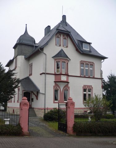
Villa Trimborn
Residential and Farm Buildings Town Houses and Commercial Buildings ID 15865
-
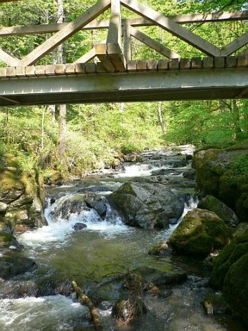
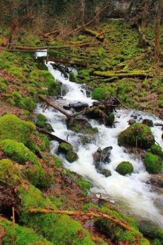
Wasserfälle der Kleinen Kyll
Waterfalls ID 4679
-
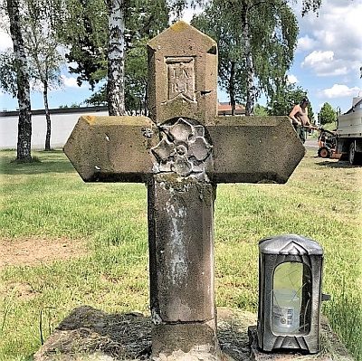
Wegekreuz
Religious Buildings Wayside Shrines and Stations of the Cross ID 18712
-
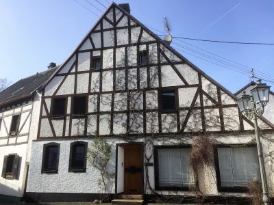
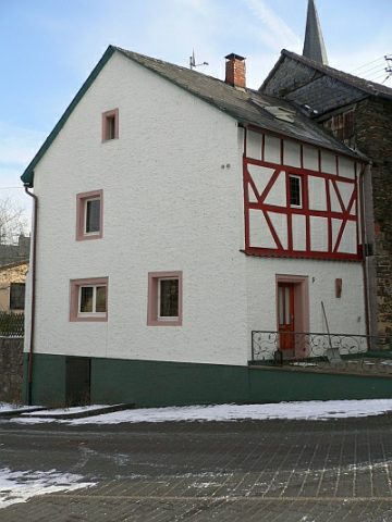
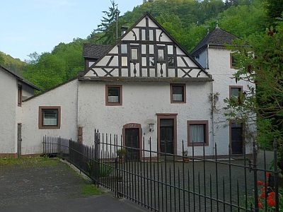
Wohnhaus
Residential and Farm Buildings Town Houses and Commercial Buildings ID 15867
-
Wohnhaus
Jetzt Heimatmuseum
Residential and Farm Buildings Town Houses and Commercial Buildings ID 15870
-
Wohnhaus
Residential and Farm Buildings Town Houses and Commercial Buildings ID 17000
-
Wohnhaus
Residential and Farm Buildings Town Houses and Commercial Buildings ID 17001
-
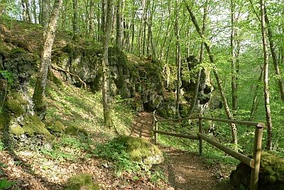
Wolfsschlucht im Tal der Kleinen Kyll (1)
Natural Landscapes ID 17202
-
Wolfsschlucht im Tal der Kleinen Kyll (2)
Natural Landscapes ID 33127
-
Aufm Loborn
Field Names ID 31788
-
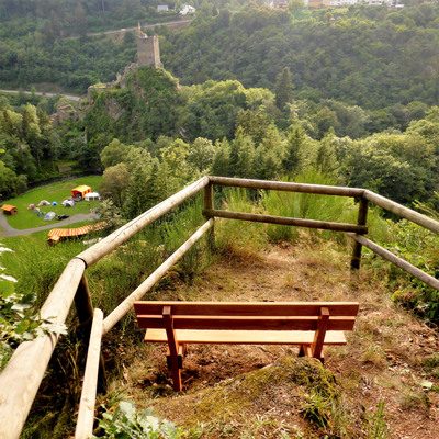
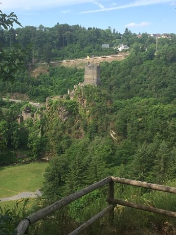
Aussichtspunkt Grafenfels
Viewpoints ID 11700
-
Ehemalige Flakbatterie
Luftverteidigungszone (LVZ) West
Fortifications and Military Sites Fortresses and Bunkers ID 51769
-
Ehemalige Flakbatterie
Luftverteidigungszone (LVZ) West
Fortifications and Military Sites Fortresses and Bunkers ID 51771
-
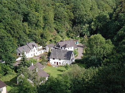
Ehemalige Talmühle Niedermanderscheid (1)
Öl- und Mahlmühle an der Lieser
Engineering Structures and Industrial Sites Mills ID 8968
-
Ehemalige Talmühle Niedermanderscheid (2)
Öl- und Mahlmühle an der Lieser
Engineering Structures and Industrial Sites Mills ID 18570
-
Ehemalige Wollspinnerei
Engineering Structures and Industrial Sites Mills ID 13998
-
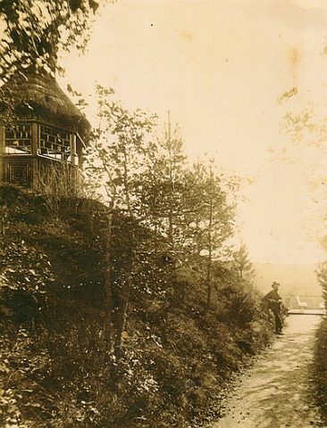
Ehemaliger Aussichtspunkt Mooshütte
Viewpoints ID 48023
-
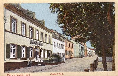
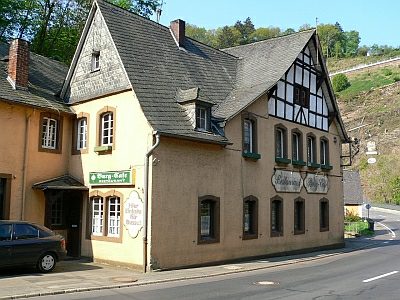
Gasthaus
Economy, Trade and Transport Catering, Inns and Hotels ID 15864
-
Grafenfels
Rocks ID 18711
-
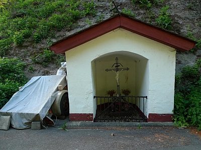
Heiligenhäuschen
Religious Buildings Wayside Shrine Houses ID 18571
-
Kreuzigungsbildstock
Religious Buildings Wayside Shrines and Stations of the Cross ID 15863
-
Kreuzweg mit 14 Stationen (1)
Religious Buildings Wayside Shrines and Stations of the Cross ID 16719
-
Kreuzweg mit 14 Stationen (2)
Religious Buildings Wayside Shrines and Stations of the Cross ID 16720
-
Kreuzweg mit 14 Stationen (3)
Religious Buildings Wayside Shrines and Stations of the Cross ID 16721