20th Century
5,980 heritage sites from the period 20th Century: 1918 to 2000.
The map shows all 5,980 results.
-
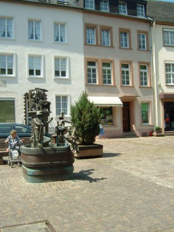
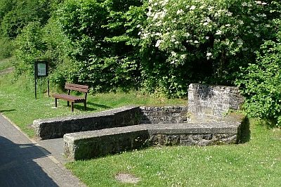
Marktbrunnen
Fountains and Wells Works of Art ID 13144
-
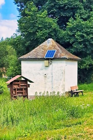
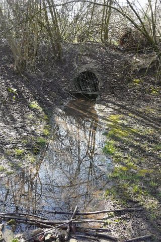
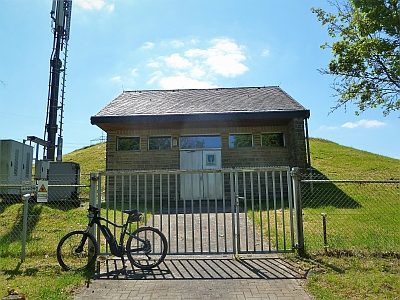
Ehemalige Pumpstation
Fountains and Wells ID 57484
-
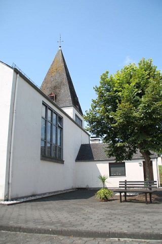
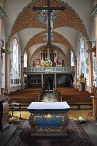
Marien-Kapelle
Religious Buildings Chapels ID 9130
-
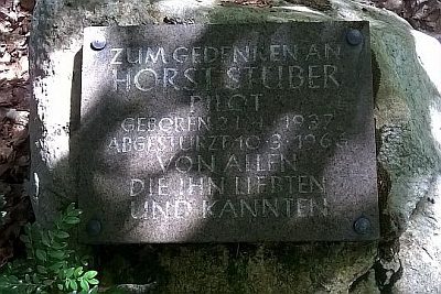
Gedenkstein für Horst Stüber
Markers and Monuments Monuments ID 24836
-
Konrads Kreuz
Religious Buildings Wayside Shrines and Stations of the Cross ID 24835
-
Ehemaliges Schmelzer Kreuz
Religious Buildings Wayside Shrines and Stations of the Cross ID 13250
-
Kreuz beim Züscher Hammer
Religious Buildings Wayside Shrines and Stations of the Cross ID 17008
-
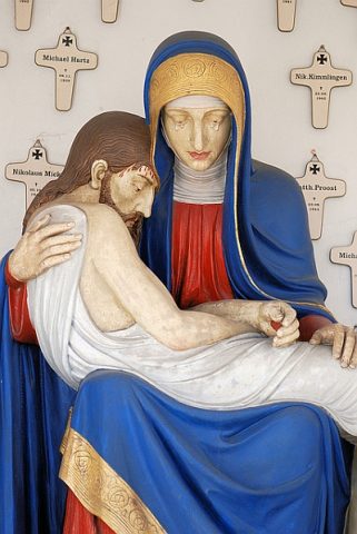
Kriegergedächtnis-Kapelle
Religious Buildings Chapels ID 24848
-
Ehemalige Schule
Educational Institutions Schools ID 14975
-
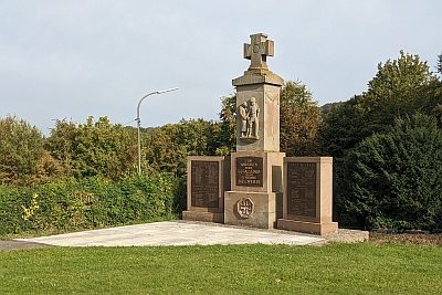
Kriegerdenkmal
Markers and Monuments War Memorials ID 14970
-
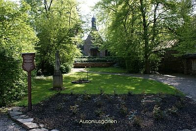
Ausoniusgarten
Parks, Gardens and Cemeteries Town Parks and Public Green Spaces ID 17165
-
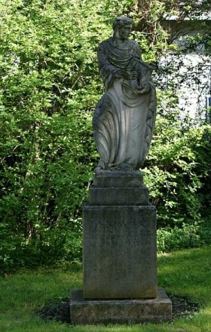
Ausoniusstatue
Markers and Monuments Works of Art ID 16037
-
Ehemalige Synagoge
Religious Buildings Synagogues ID 2526
-
Stadtrechte Neumagen
Chartered Towns ID 6821
-
Winzervilla
Residential and Farm Buildings Town Houses and Commercial Buildings ID 15844
-
Wohnhaus
Residential and Farm Buildings Town Houses and Commercial Buildings ID 15845
-
Ehemalige Schule
Educational Institutions Schools ID 14876
-
Filialkapelle zum heiligen Konrad von Parzham
Religious Buildings Chapels ID 25071
-
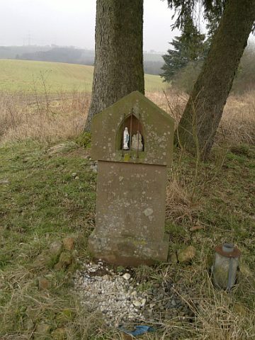
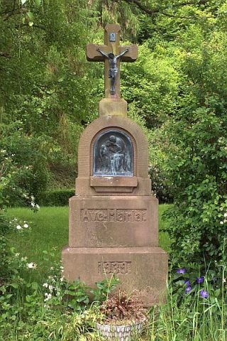
Bildstock
Religious Buildings Wayside Shrines and Stations of the Cross ID 25341
-
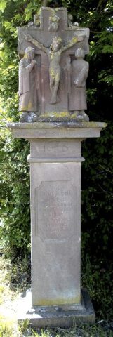
Kreuzigungsbildstock
Religious Buildings Wayside Shrines and Stations of the Cross ID 33390
-
Butzerbachquelle
Springs ID 47342
-
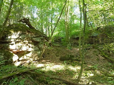
Ehemaliger Steinbruch
Economy, Trade and Transport Extraction and Processing of Raw Materials ID 38874
-
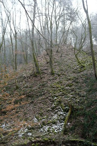
Ehemaliger Steinbruch - Abraumhalde
Economy, Trade and Transport Extraction and Processing of Raw Materials ID 47341
-
Kriegerdenkmal
Markers and Monuments War Memorials ID 24637
-
Paulipeadchi
Weg von Butweiler zum ehmaligen Bahnhof Ramstein
Place Names / Local History Street Names ID 47372
-
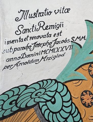
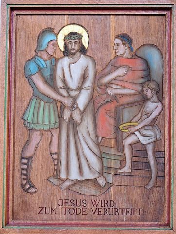
Sankt Remigius - Kreuzweg
Katholische Pfarrkirche
Religious Buildings Wayside Shrines and Stations of the Cross ID 24648
-
Wasserhochbehälter Dackenheid
Water Supply ID 50196
-
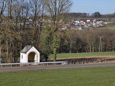
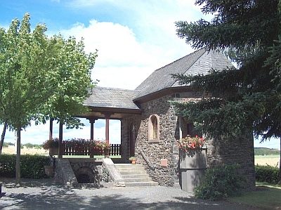
Kapelle
Religious Buildings Chapels ID 2966
-
Wegekreuz
Religious Buildings Wayside Shrines and Stations of the Cross ID 42758
-
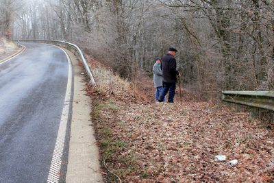
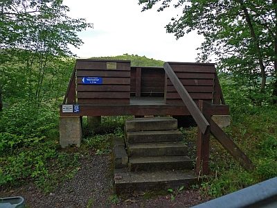
Aussichtsplattform an der Kreisstraße 123
Viewpoints ID 23273
-
Sauerbrunnen
Springs Mineral Springs ID 3201
-
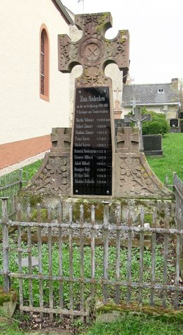
Kriegerdenkmal 1914/18
Markers and Monuments War Memorials ID 40834
-
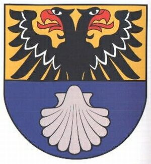
Wappen der Gemeinde Niederstedem
Coats of Arms ID 7491
-
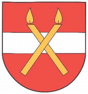
Wappen der Gemeinde Niederweiler
Coats of Arms ID 10218
-
Westwall - Bunker
Baustärke B1 oder stärker
Fortifications and Military Sites Fortresses and Bunkers ID 21286
-
Westwall - Bunker
Baustärke B1 oder stärker
Fortifications and Military Sites Fortresses and Bunkers ID 21290
-
Westwall - Bunker
Baustärke B1 oder stärker
Fortifications and Military Sites Fortresses and Bunkers ID 21291
-
Westwall - Munitionslager
Fortifications and Military Sites Fortresses and Bunkers ID 21287
-
Westwall - Munitionslager
Fortifications and Military Sites Fortresses and Bunkers ID 21292
-
Westwall - Munitionslager
Fortifications and Military Sites Fortresses and Bunkers ID 21293
-
Edeltrudiskapelle
Religious Buildings Chapels ID 15491
-
Kriegerdenkmal des Ersten Weltkriegs
Markers and Monuments War Memorials ID 15493