Renaissance
1,987 heritage sites from the period Renaissance: c. 1500 to c. 1700.
The map shows all 1,987 results.
-
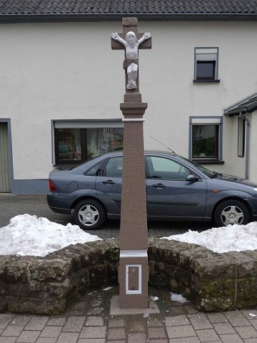
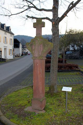
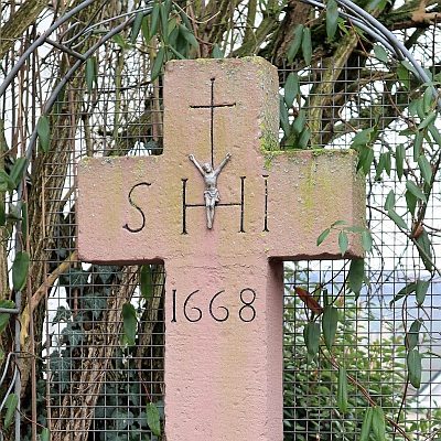
Wegekreuz
Religious Buildings Wayside Shrines and Stations of the Cross ID 18110
-
Wegekreuz
Religious Buildings Wayside Shrines and Stations of the Cross ID 52105
-
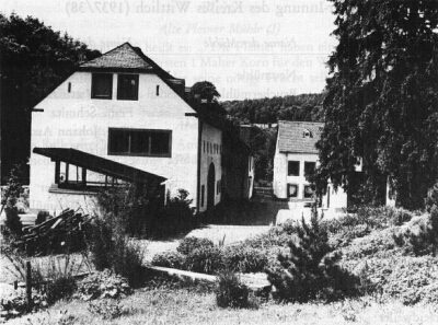
Landscheider Mühle im Salmtal
Engineering Structures and Industrial Sites Mills ID 7694
-
Wegekreuz
Religious Buildings Wayside Shrines and Stations of the Cross ID 41944
-
Ehemalige Niederkailer Mühle
Engineering Structures and Industrial Sites Mills ID 7894
-
Mühle Raskop
Engineering Structures and Industrial Sites Mills ID 7901
-
Schaftkreuz am Rand des Kirchhofes
Religious Buildings Wayside Shrines and Stations of the Cross ID 13715
-
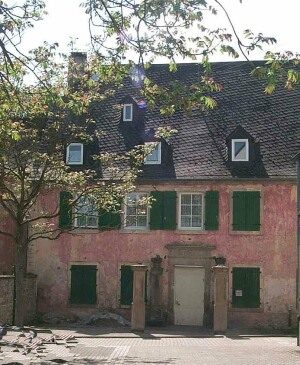
Ehemaliges Hofgut
Residential and Farm Buildings Farmhouses and Farm Buildings ID 2309
-
Kreuzigungsbildstock
Religious Buildings Wayside Shrines and Stations of the Cross ID 2311
-
Pfarrhof
Residential and Farm Buildings Farmhouses and Farm Buildings ID 2315
-
Nischenkreuz
Religious Buildings Wayside Shrines and Stations of the Cross ID 41419
-
Kreuz an der Kriegergedächtniskapelle
Religious Buildings Chapels ID 38888
-
Friedhofskreuz
Markers and Monuments War Memorials ID 15589
-
Ortsgeschichte Scheidchen
Place Names / Local History ID 10302
-
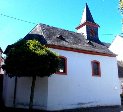
Ehemalige Euchariuskapelle
Religious Buildings Chapels ID 48481
-
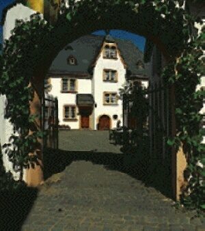
Ehemaliger Zehnthof
Residential and Farm Buildings Farmhouses and Farm Buildings ID 1161
-
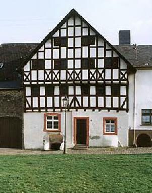
Fachwerkhaus
Residential and Farm Buildings Town Houses and Commercial Buildings ID 1160
-
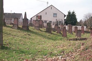
Jüdischer Friedhof
Parks, Gardens and Cemeteries Jewish Cemeteries ID 2076
-
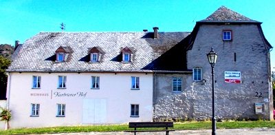
Kurtrierer Hof - ehemaliges Zehnthaus
Residential and Farm Buildings Farmhouses and Farm Buildings ID 48479
-
Schaftbildstock
Religious Buildings Wayside Shrines and Stations of the Cross ID 48476
-
Streckhof
Residential and Farm Buildings Farmhouses and Farm Buildings ID 34647
-
Wegekreuz
Religious Buildings Wayside Shrines and Stations of the Cross ID 48475
-
Hauseingang
Residential and Farm Buildings Farmhouses and Farm Buildings ID 11585
-
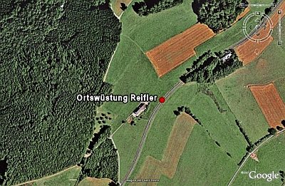
Ortswüstung Reifler
Settlements Deserted Settlements ID 472
-
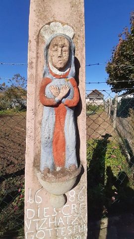
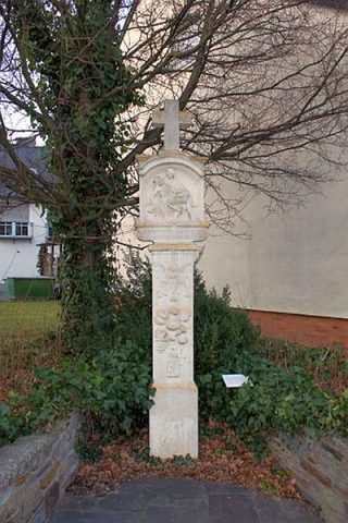
Bildstock mit Pietà-Relief
Religious Buildings Wayside Shrines and Stations of the Cross ID 15370
-
Ehemalige Synagoge
Religious Buildings Synagogues ID 4752
-
Ehemaliger Thurn und Taxis’scher Posthof
Administrative Buildings Post Offices ID 15380
-
Ehemaliger Thurn und Taxis’scher Posthof
Administrative Buildings Post Offices ID 15381
-
Ehemaliger Thurn und Taxis’scher Posthof
Administrative Buildings Post Offices ID 15382
-
Ehemaliger Thurn und Taxis’scher Posthof
Administrative Buildings Post Offices ID 15383
-
Ehemaliger Thurn und Taxis’scher Posthof
Administrative Buildings Post Offices ID 15384
-
Ehemaliger Thurn und Taxis’scher Posthof
Administrative Buildings Post Offices ID 15385
-
Heiligenhäuschen Hl. Donatus
Religious Buildings Wayside Shrines and Stations of the Cross ID 33632
-
Kreuzigungsgruppe am Weg zur Paulskirche
Religious Buildings Wayside Shrines and Stations of the Cross ID 15359
-
Matthias Glabus-Kreuz
Religious Buildings Wayside Shrines and Stations of the Cross ID 33618
-
Wohnhaus
Residential and Farm Buildings Farmhouses and Farm Buildings ID 15378
-
Zehnthaus
Residential and Farm Buildings Farmhouses and Farm Buildings ID 1334
-
Ehewappen
Coats of Arms ID 521
-
Kreuzigungsbildstock
Religious Buildings Wayside Shrines and Stations of the Cross ID 23555
-
Balkenkreuz
Religious Buildings Wayside Shrines and Stations of the Cross ID 30398
-
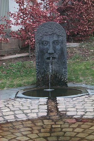
Brunnen
Fountains and Wells ID 2006
-
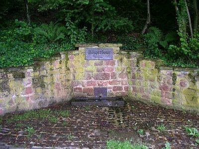
Höpperbour
Fountains and Wells ID 10043
-
Kreuzigungsbildstock
Religious Buildings Wayside Shrines and Stations of the Cross ID 16015
-
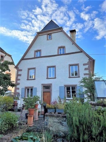
Spätgotischer Steilgiebelbau
Teil der Denkmalzone Ortskern Kirsch
Residential and Farm Buildings Farmhouses and Farm Buildings ID 52137
-
Auf dem Laychen
Field Names ID 53119
-
Auf dem Nebent
Field Names ID 53117
-
Auf der Breitheck
Field Names ID 53118