Renaissance
1,987 heritage sites from the period Renaissance: c. 1500 to c. 1700.
The map shows all 1,987 results.
-
Aufm Odergraben
Field Names ID 53132
-
Die Maiwies
Field Names ID 53121
-
Hof der Kratz von Scharfenstein
Residential and Farm Buildings Manorial Residences and Estate Buildings ID 1167
-
Sankt Laurentius - Longuicher Eulchen
Katholische Pfarrkirche
Religious Buildings Catholic Churches ID 1170
-
Wohnhaus
Residential and Farm Buildings Farmhouses and Farm Buildings ID 55805
-
Zwischen den Dörfern
Field Names ID 53130
-
Ehemaliges Pfarrhaus
Administrative Buildings Rectories ID 15241
-
Ehemaliges Schloss
Residential and Farm Buildings Manorial Residences and Estate Buildings ID 218
-
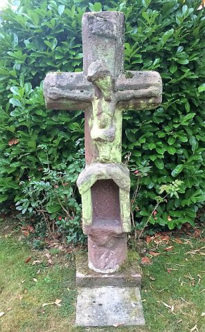
Gedenkkreuz von 1638
Religious Buildings Wayside Shrines and Stations of the Cross ID 53025
-
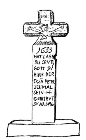
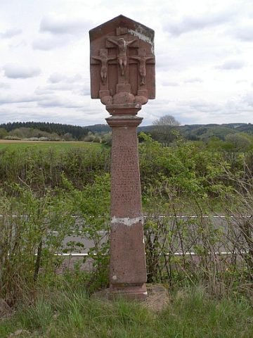
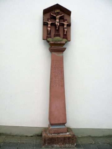
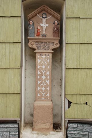
Kreuzigungsbildstock
Religious Buildings Wayside Shrines and Stations of the Cross ID 15239
-
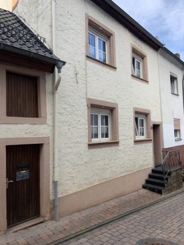
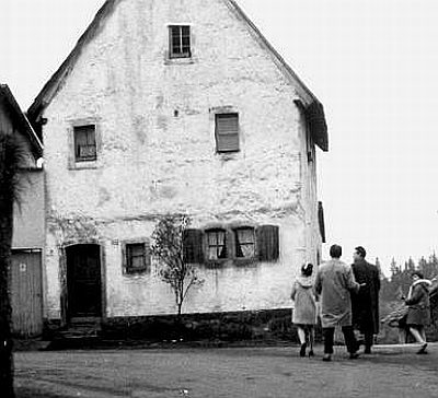
Wohnhaus
Residential and Farm Buildings Farmhouses and Farm Buildings ID 15242
-
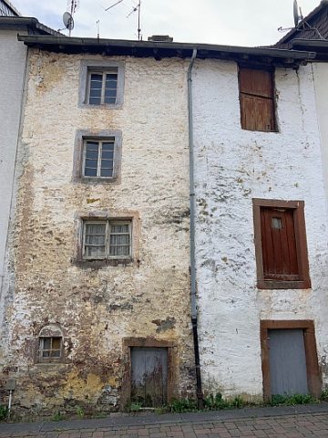
Wohnhaus
Residential and Farm Buildings Town Houses and Commercial Buildings ID 15245
-
Wohnhaus
Residential and Farm Buildings Town Houses and Commercial Buildings ID 15246
-
Wohnhaus
Residential and Farm Buildings Town Houses and Commercial Buildings ID 15247
-
Wohnhaus
Residential and Farm Buildings Town Houses and Commercial Buildings ID 15248
-
Sankt Martin - Pestkreuz
Religious Buildings Wayside Shrines and Stations of the Cross ID 11483
-
Ehemalige Malberger Mühle
Engineering Structures and Industrial Sites Mills ID 9120
-
Oberteil eines Nischenkreuzes
Religious Buildings Wayside Shrines and Stations of the Cross ID 32665
-
Spolien
Residential and Farm Buildings Farmhouses and Farm Buildings ID 41434
-
Wohnhaus
Residential and Farm Buildings Town Houses and Commercial Buildings ID 8252
-
Wohnhaus
Residential and Farm Buildings Town Houses and Commercial Buildings ID 11337
-
Fließemer Kreuz
Religious Buildings Wayside Shrines and Stations of the Cross ID 9108
-
Halfenkreuz
Religious Buildings Wayside Shrines and Stations of the Cross ID 9102
-
Helterkreuz
Religious Buildings Wayside Shrines and Stations of the Cross ID 13584
-
Weibischkreuz
Religious Buildings Wayside Shrines and Stations of the Cross ID 9101
-
Bousermühle am Röderbach
Engineering Structures and Industrial Sites Mills ID 7540
-
Wüstung Klein-Malborn
Settlements Deserted Settlements ID 13814
-
Rothmühle am Röderbach
Engineering Structures and Industrial Sites Mills ID 7664
-
Pfaffenstraße
Legal Monuments ID 25399
-
Sogenanntes Frienen-Kreiz - Kopie
Kopie am ursprünglichen Standort
Religious Buildings Wayside Shrines and Stations of the Cross ID 18541
-
Cammer'sches Haus
Residential and Farm Buildings Farmhouses and Farm Buildings ID 16943
-
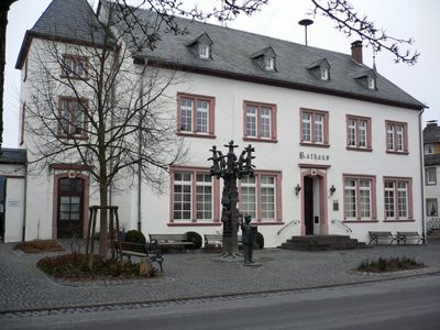
Ehemalige Kurfürstliche Kellnerei
Heute: Sitz der Verbandsgemeindeverwaltung
Administrative Buildings ID 15875
-
Ehemalige Neumühle bei Manderscheid
Engineering Structures and Industrial Sites Mills ID 8962
-
Heiligenhäuschen
Religious Buildings Wayside Shrine Houses ID 15868
-
Kommer-Kreuz auch Ostermann-Kreuz
Religious Buildings Wayside Shrines and Stations of the Cross ID 26427
-
Kreuzigungsbildstock an der Kirchenmauer
Religious Buildings Wayside Shrines and Stations of the Cross ID 15872
-
Pfarrkirche Sankt Hubertus (2)
Pietà in der sogenannten Lebensbaumkirche
Religious Buildings Catholic Churches ID 17472
-
Schaftkreuz an der Kirchenmauer
Religious Buildings Wayside Shrines and Stations of the Cross ID 15873
-
Sogenanntes Frienen-Kreiz - Original
Bildstock an der Kirchenmauer
Religious Buildings Wayside Shrines and Stations of the Cross ID 15874
-
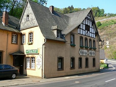
Gasthaus
Economy, Trade and Transport Catering, Inns and Hotels ID 15864
-
Kreuzigungsbildstock
Religious Buildings Wayside Shrines and Stations of the Cross ID 15863
-
Niedermanderscheider Kreuz (Cremer Kreuz)
Religious Buildings Wayside Shrines and Stations of the Cross ID 26428
-
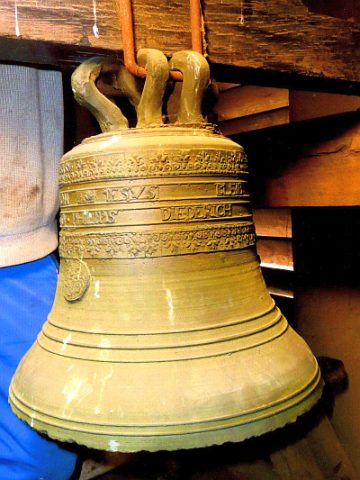
Ruine der Niederburg - Burgkapelle, Grafenglocke
Ausgestellt im Heimatmuseum Manderscheid
Religious Buildings Chapels ID 39513
-
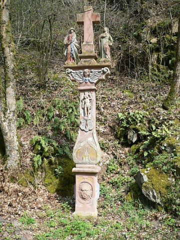
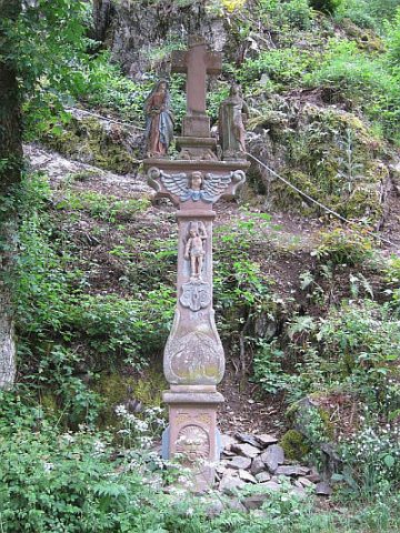
Bildstock
Religious Buildings Wayside Shrines and Stations of the Cross ID 17041