Bernkastel-Wittlich
10,074 heritage sites in Bernkastel-Wittlich in the Kulturdatenbank Region Trier.
The map shows all 10,074 results.
-
Römische Siedlungsstelle
Settlements Settlements ID 11917
-
Römischer Grabfund
Burials Burial Mounds ID 12366
-
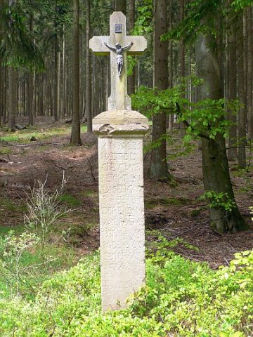
Sandsteinkreuz von 1635
Religious Buildings Wayside Shrines and Stations of the Cross ID 16758
-
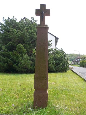
Sandsteinkreuz von 1676
Religious Buildings Wayside Shrines and Stations of the Cross ID 24645
-
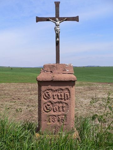
Sandsteinkreuz von 1875
Religious Buildings Wayside Shrines and Stations of the Cross ID 24646
-
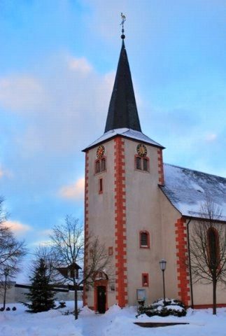
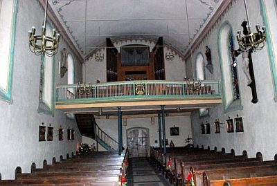
Sankt Johannes der Täufer (1)
Katholische Pfarrkirche
Religious Buildings Catholic Churches ID 16896
-
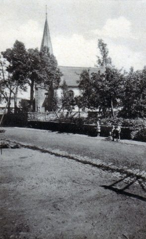
Sankt Johannes der Täufer (2)
Katholische Pfarrkirche - Historische Aufnahmen
Religious Buildings Catholic Churches ID 24075
-
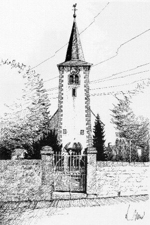
Sankt Johannes der Täufer - Turm
Katholische Pfarrkirche
Religious Buildings Catholic Churches ID 1786
-
Schlackenkegel
Geological Features Volcanoes ID 30234
-
Signal Holz Buel
Markers and Monuments Surveying ID 45756
-
Sogenannte Herz-Jesu-Kapelle
Religious Buildings Chapels ID 17213
-
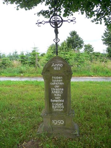
Sogenanntes Jungels-Klas-Kreuz
Religious Buildings Wayside Shrines and Stations of the Cross ID 15058
-
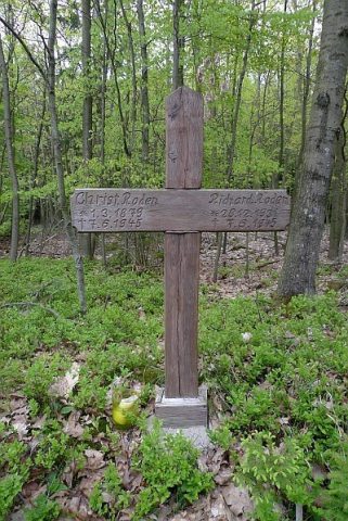
Sogenanntes Roden-Kreuz
Religious Buildings Wayside Shrines and Stations of the Cross ID 17201
-
Streitwies
Field Names ID 41733
-
Streuung römischer Keramikscherben
Settlements Find Sites ID 12365
-
Unten vor dem Hasen
Field Names ID 52697
-
Villa Rustica
Settlements Settlements ID 12364
-
Vor Buchheld
Field Names ID 40112
-
Vor Weienheld
Field Names ID 40117
-
Vor dem Hasen
Field Names ID 52698
-
Vor dem Kirchenberg
Field Names ID 46403
-
Vorn an Weienheld
Field Names ID 40114
-
Vulkan Hinkelsmaar
Geological Features Volcanoes ID 30233
-
Vulkan Mosenberg
Geological Features Volcanoes ID 3164
-
Vulkan Mosenberg - südlicher Krater
Geological Features Volcanoes ID 30236
-
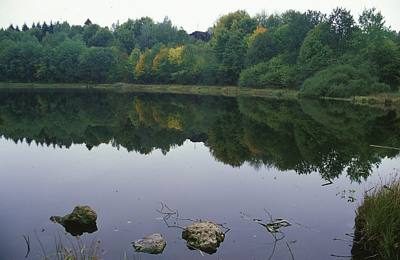
Vulkan Windsborn Bergkratersee
Geological Features Volcanoes ID 30235
-
Wanzenborn
Field Names ID 31774
-
Wegekreuz
Religious Buildings Wayside Shrines and Stations of the Cross ID 26403
-
Wegekreuz
Religious Buildings Wayside Shrines and Stations of the Cross ID 26419
-
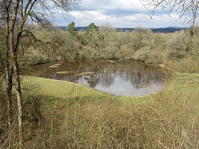
Windsborn Bergkratersee
Maars Maar Lakes ID 1332
-
Wohnhaus
Residential and Farm Buildings Farmhouses and Farm Buildings ID 15060
-
Wüstung Borscheid
Economy, Trade and Transport Ancient Field Systems ID 278
-
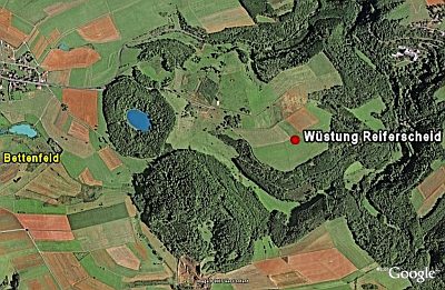
Wüstung Reiferscheid
Settlements Deserted Settlements ID 279
-
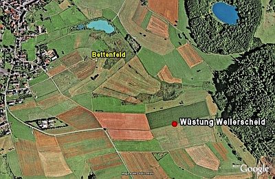
Wüstung Wellerscheid
Settlements Deserted Settlements ID 280
-
Auf Rodenbüsch
Field Names ID 43161
-
Im Nisterpesch
Field Names ID 27003
-
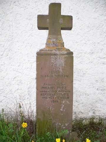
Kreuz an der Kapelle Rodenbüsch
Religious Buildings Wayside Shrines and Stations of the Cross ID 16757
-
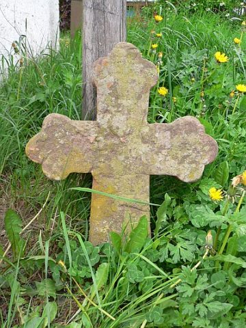
Kreuzfragment neben der Kapelle Rodenbüsch
Religious Buildings Wayside Shrines and Stations of the Cross ID 24638
-
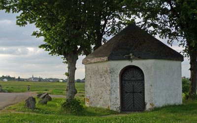
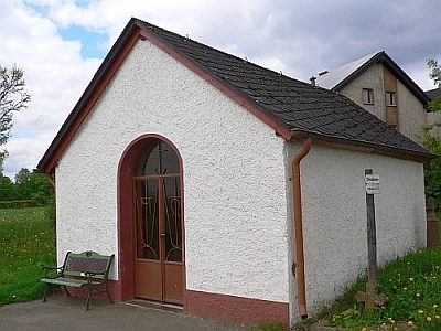
Rodenbüscher Kapelle
Religious Buildings Chapels ID 15057
-
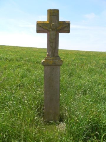
Schaftkreuz 400 Meter südlich Hof Rodenbüsch
Religious Buildings Wayside Shrines and Stations of the Cross ID 16752
-
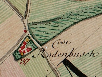
Wüstung Rodenbüsch
Settlements Deserted Settlements ID 277
-
Am Völlgrund
Field Names ID 46723
-
Auf dem Kalkofen
Field Names ID 36297
-
Auf der Dell
Field Names ID 44771
-
Auf der Hasenheck
Field Names ID 52700
-
Aufm Aulent
Field Names ID 36408
-
Aufm Scheid
Field Names ID 28626