Bernkastel-Wittlich
10,074 heritage sites in Bernkastel-Wittlich in the Kulturdatenbank Region Trier.
The map shows all 10,074 results.
-
Tonurnen
Burials Cremation Graves ID 13839
-
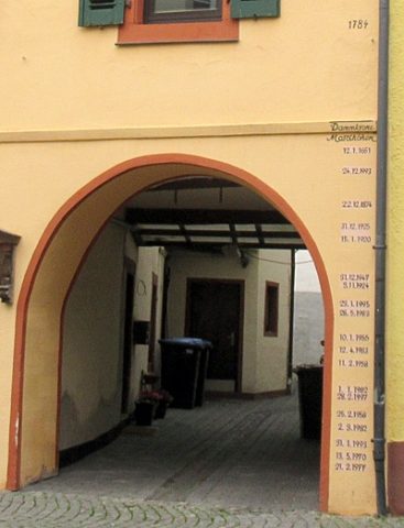
Torbogen mit Hochwassermarken
Markers and Monuments Flood Marks ID 52104
-
Unter dem Heldenweg
Field Names ID 40038
-
Unter dem Krischelndorn
Field Names ID 43963
-
Unter dem Pfaffenberg
Field Names ID 29079
-
Unter der Steinrausch
Field Names ID 27810
-
Vor der Langfuhr
Field Names ID 34294
-
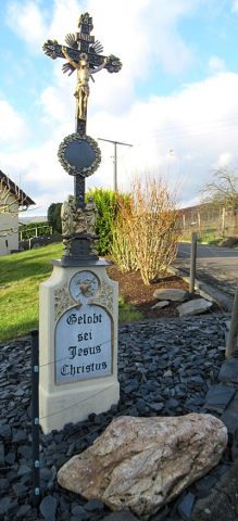
Wegekreuz
Religious Buildings Wayside Shrines and Stations of the Cross ID 15364
-
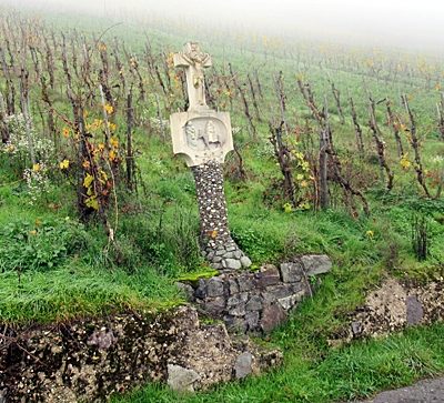
Wegekreuz
Religious Buildings Wayside Shrines and Stations of the Cross ID 33617
-
Wegekreuz
Religious Buildings Wayside Shrines and Stations of the Cross ID 33619
-
Wegekreuz mit Bildnische
Religious Buildings Wayside Shrines and Stations of the Cross ID 33625
-
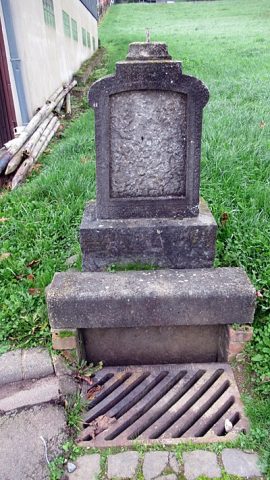
Wegekreuz(rest)
Religious Buildings Wayside Shrines and Stations of the Cross ID 33616
-
Weideborn
Field Names ID 31456
-
Wirtschaftsgebäude
Residential and Farm Buildings Farmhouses and Farm Buildings ID 52111
-
Wohnhaus
Residential and Farm Buildings Farmhouses and Farm Buildings ID 15368
-
Wohnhaus
Residential and Farm Buildings Farmhouses and Farm Buildings ID 15371
-
Wohnhaus
Residential and Farm Buildings Farmhouses and Farm Buildings ID 15372
-
Wohnhaus
Residential and Farm Buildings Farmhouses and Farm Buildings ID 15373
-
Wohnhaus
Residential and Farm Buildings Farmhouses and Farm Buildings ID 15374
-
Wohnhaus
Residential and Farm Buildings Farmhouses and Farm Buildings ID 15375
-
Wohnhaus
Residential and Farm Buildings Farmhouses and Farm Buildings ID 15378
-
Wohnhaus
Residential and Farm Buildings Farmhouses and Farm Buildings ID 15379
-
Zehnthaus
Residential and Farm Buildings Farmhouses and Farm Buildings ID 1334
-
Andreasbrunnen
Fountains and Wells ID 2683
-
Auf dem Anspann
Field Names ID 52174
-
Auf der Held
Field Names ID 40022
-
Auf der Held und Mittel Podelt
Field Names ID 40021
-
Aufgelassener Bergbau
Economy, Trade and Transport Extraction and Processing of Raw Materials ID 51183
-
Aussichtspunkt Bammes-Berg
Viewpoints ID 4440
-
Aussichtspunkt Kurzflur
Viewpoints ID 4513
-
Beim Andresborn
Field Names ID 31361
-
Beim Rothenbusch
Field Names ID 43347
-
Breitwies
Field Names ID 37028
-
Ehemalige Barbaramühle
Heute: Heimatmuseum Barbaramühle
Engineering Structures and Industrial Sites Mills ID 18312
-
Ehemalige Kautenbacher Mühle
Engineering Structures and Industrial Sites Mills ID 37987
-
Ehemalige Mühle am Trabener Bach
Engineering Structures and Industrial Sites Mills ID 18856
-
Ehemalige Schanze
Fortifications and Military Sites Entrenchments ID 48940
-
Ehemalige Schanze
Fortifications and Military Sites Entrenchments ID 48941
-
Ehemalige Schule
Educational Institutions Schools ID 16016
-
Ehemaliger Schieferbruch am Waschbach
Economy, Trade and Transport Extraction and Processing of Raw Materials ID 19139
-
Ehemaliger Stolleneingang
Economy, Trade and Transport Extraction and Processing of Raw Materials ID 37349
-
Ehemaliger Stolleneingang
Economy, Trade and Transport Extraction and Processing of Raw Materials ID 37350
-
Ehemaliger Stolleneingang
Economy, Trade and Transport Extraction and Processing of Raw Materials ID 37351
-
Ehemaliger Stolleneingang
Economy, Trade and Transport Extraction and Processing of Raw Materials ID 51939
-
Ehemaliges Pfarrhaus
Administrative Buildings Rectories ID 16017
-
Fachwerkhaus
Residential and Farm Buildings Farmhouses and Farm Buildings ID 2687
-
Fundstellen tierischer Versteinerungen
Geological Features Fossils ID 51068
-
Fundstellen tierischer Versteinerungen
Geological Features Fossils ID 51069