Vulkaneifel

7,758 heritage sites in Vulkaneifel in the Kulturdatenbank Region Trier.

7,758 objects · 1,873–1,920

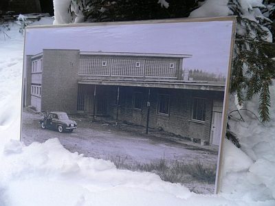
  1. Sogenannte Adenauer-Ruine (1)

    Duppach 1955

    Residential and Farm Buildings Town Houses and Commercial Buildings ID 8178

  2. Sogenannte Adenauer-Ruine (2)

    Duppach 1955

    Residential and Farm Buildings Town Houses and Commercial Buildings ID 26102

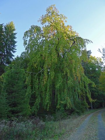
  3. Trauerbuche

    Naturdenkmal

    Duppach 20.04.1938 [Unterschutzstellung]

    Trees Beeches ID 5099

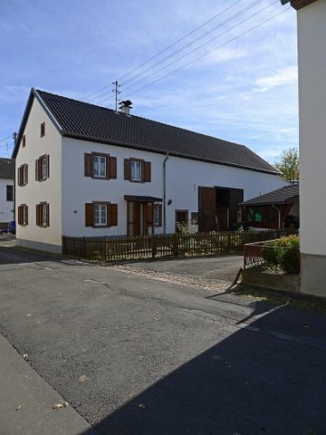
  4. Trierer Haus

    Duppach, Hauptstraße 25 1876

    Residential and Farm Buildings Farmhouses and Farm Buildings ID 16450

  5. Unten in der Held

    Duppach Undatiert

    Field Names ID 40317

  6. Vorn auf Buchholz

    Duppach Undatiert

    Field Names ID 41917

  7. Vulkan Duppacher Maar

    Duppach Undatiert

    Maars Dry Maars ID 30210

  8. Wappen der Gemeinde Duppach

    Duppach 1334

    Coats of Arms ID 1579

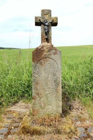
  9. Wegekreuz

    Duppach Undatiert

    Religious Buildings Wayside Shrines and Stations of the Cross ID 30312

  10. Wegekreuz

    Duppach Undatiert

    Religious Buildings Wayside Shrines and Stations of the Cross ID 30313

  11. Wegekreuz

    Duppach, Hillesheimer Straße 14 Undatiert

    Religious Buildings Wayside Shrines and Stations of the Cross ID 30314

  12. Wegekreuz

    Duppach Undatiert

    Religious Buildings Wayside Shrines and Stations of the Cross ID 33013

  13. Wegekreuz

    Duppach, Maifeldstraße 23 Undatiert

    Religious Buildings Wayside Shrines and Stations of the Cross ID 33014

  14. Wegekreuz

    Duppach Undatiert

    Religious Buildings Wayside Shrines and Stations of the Cross ID 33015

  15. Wegekreuz

    Duppach Undatiert

    Religious Buildings Wayside Shrines and Stations of the Cross ID 33016

  16. Wegekreuz nördlich der Ortslage

    Duppach, Bei Haptstraße 73 19. Jahrhundert

    Religious Buildings Wayside Shrines and Stations of the Cross ID 19228

  17. Wiesen auf Grauborn

    Duppach Undatiert

    Field Names ID 32232

  18. Ehemaliger Torfstich

    Duppacher Mühle 1843

    Bogs and Mires Peat Cuttings ID 42273

  19. Auf Buchholz

    Duppach, Forsthaus Duppach Undatiert

    Field Names ID 41893

  20. Mineralquelle Duppacher Drees

    Naturdenkmal

    Duppach, Forsthaus Duppach 04.03.1961 [Unterschutzstellung]

    Springs Mineral Springs ID 5095

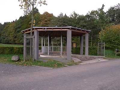
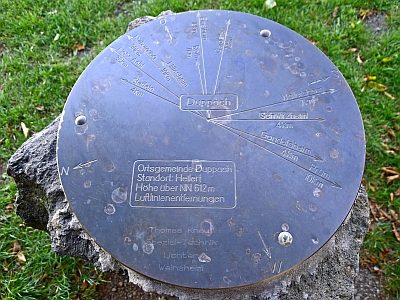
  21. Aussichtspunkt Heilert

    Duppach, Heilert Undatiert

    Viewpoints ID 4359

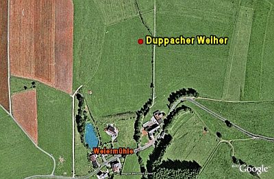
  22. Duppacher Weiher

    Duppach, Weiermühle Undatiert

    Maars Dry Maars ID 6899

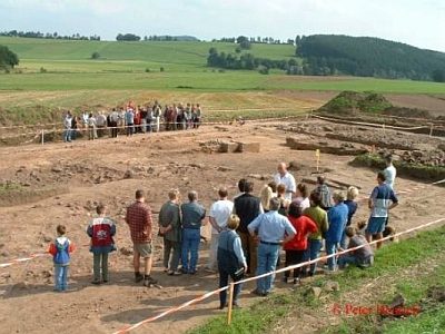
  23. Grabungen in Duppach-Weiermühle

    Duppach, Weiermühle Circa 500 vor Chr. bis circa 500 nach Chr.

    Settlements Settlements ID 6900

  24. Vulkan Duppacher Weiher

    Duppach, Weiermühle Undatiert

    Geological Features Volcanoes ID 30208

  25. Weiermühle

    Duppach, Weiermühle, Weiermühle 11/13 1815

    Engineering Structures and Industrial Sites Mills ID 7812

  26. Auf Ziehklopp

    Ellscheid Undatiert

    Field Names ID 38291

  27. Aufm Berg Junkerland

    Ellscheid Undatiert

    Field Names ID 40682

  28. Bei der Lehmkaul

    Ellscheid Undatiert

    Field Names ID 35930

  29. Ehem. Bergbaum als Signalbaum auf dem Junkerberg

    Ellscheid 1810

    Markers and Monuments Surveying ID 49950

  30. Fundstreuung römischer Ziegel

    Ellscheid Circa 500 vor Chr. bis circa 500 nach Chr.

    Settlements Find Sites ID 12619

  31. Geschichte

    Ellscheid Undatiert

    Place Names / Local History ID 3199

  32. Grabhügel

    Grabhügelnekropole

    Ellscheid Ende des 7. Jh. v. Chr. bis ca. 300 v. Chr.

    Burials Burial Mounds ID 12617

  33. Grabhügel

    Grabhügelnekropole

    Ellscheid Ende des 7. Jh. v. Chr. bis ca. 300 v. Chr.

    Burials Burial Mounds ID 41362

  34. Grabhügel

    Grabhügelnekropole

    Ellscheid Ende des 7. Jh. v. Chr. bis ca. 300 v. Chr.

    Burials Burial Mounds ID 41363

  35. Grabhügel

    Grabhügelnekropole

    Ellscheid Ende des 7. Jh. v. Chr. bis ca. 300 v. Chr.

    Burials Burial Mounds ID 41364

  36. Grabhügel

    Grabhügelnekropole

    Ellscheid Ende des 7. Jh. v. Chr. bis ca. 300 v. Chr.

    Burials Burial Mounds ID 41365

  37. Grabhügel

    Grabhügelnekropole

    Ellscheid Ende des 7. Jh. v. Chr. bis ca. 300 v. Chr.

    Burials Burial Mounds ID 41366

  38. Grabhügel

    Grabhügelnekropole

    Ellscheid Ende des 7. Jh. v. Chr. bis ca. 300 v. Chr.

    Burials Burial Mounds ID 41367

  39. Grabhügel

    Grabhügelnekropole

    Ellscheid Ende des 7. Jh. v. Chr. bis ca. 300 v. Chr.

    Burials Burial Mounds ID 41368

  40. Grabhügel

    Grabhügelnekropole

    Ellscheid Ende des 7. Jh. v. Chr. bis ca. 300 v. Chr.

    Burials Burial Mounds ID 41369

  41. Grabhügelfeld

    Ellscheid Undatiert

    Burials Burial Mounds ID 12618

  42. Grabhügelgruppe

    Moosholz

    Ellscheid Letztes Viertel des 1. Jahrhunderts nach Chr.

    Burials Burial Mounds ID 12616

  43. Im Hasenweiher

    Ellscheid Undatiert

    Field Names ID 53081

  44. Im Krummenacker

    Ellscheid Undatiert

    Field Names ID 42448

  45. Im Schmittenpesch

    Ellscheid Undatiert

    Field Names ID 27095

  46. Im Weidenseitert

    Ellscheid Undatiert

    Field Names ID 41574

  47. In Gillenbach unter der Kirchenwies

    Ellscheid Undatiert

    Field Names ID 46241

  48. In Reimelkehr

    Ellscheid Undatiert

    Field Names ID 38121