Vulkaneifel
7,758 heritage sites in Vulkaneifel in the Kulturdatenbank Region Trier.
The map shows all 7,758 results.
-
In der Fleischheld
Field Names ID 40303
-
In der Lochswies
Field Names ID 52872
-
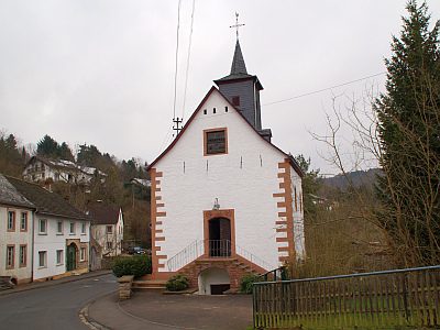
Kapelle
Religious Buildings Chapels ID 26461
-
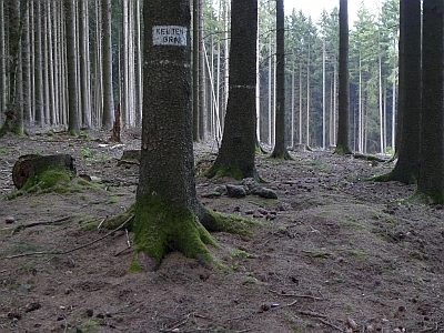
Keltengrab auf Lenzerath
Burials Burial Mounds ID 5555
-
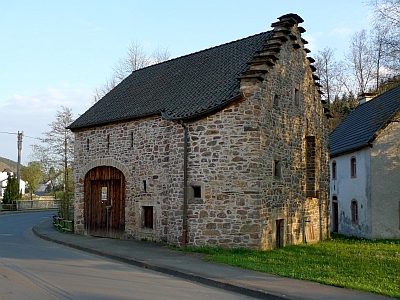
Kleine Hofanlage-Stallscheune mit Treppengiebel
Residential and Farm Buildings Farmhouses and Farm Buildings ID 1450
-
Kleine Hofanlage-Wohnhaus
Residential and Farm Buildings Farmhouses and Farm Buildings ID 16407
-
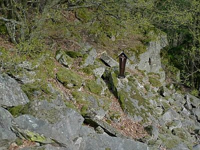
Kreuz am Felssturz
Religious Buildings Wayside Shrines and Stations of the Cross ID 23040
-
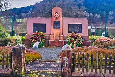
Kriegerdenkmal beider Weltkriege
Markers and Monuments War Memorials ID 57598
-
Lenzerrath
Field Names ID 43719
-
Lumbertsborn
Field Names ID 32202
-
Mansarddachbau
Residential and Farm Buildings Town Houses and Commercial Buildings ID 16409
-
Müllenbornerbüsch
Field Names ID 32181
-
Oben in Dellen
Field Names ID 45612
-
Ortsgeschichte Müllenborn
Place Names / Local History ID 1449
-
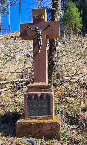
Peter-Scholz-Kreuz
Religious Buildings Wayside Shrines and Stations of the Cross ID 5553
-
Postermühle am Oosbach
Engineering Structures and Industrial Sites Mills ID 8933
-
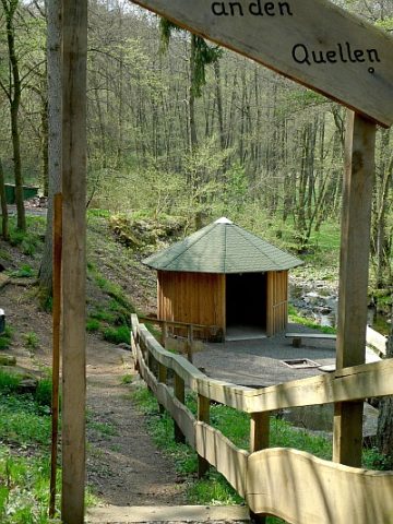
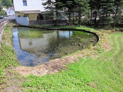
Quellen im Oosbachtal
Springs ID 23440
-
Utzig-Karstquelle
Springs ID 14862
-
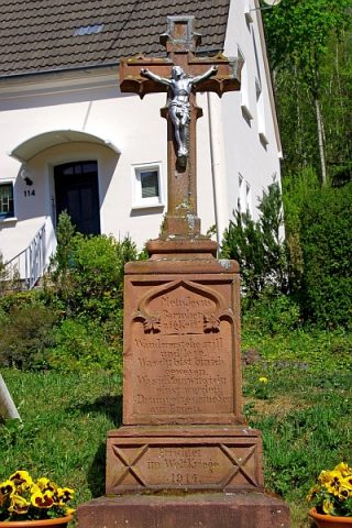
Wegekreuz
Religious Buildings Wayside Shrines and Stations of the Cross ID 26460
-
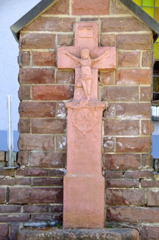
Wegekreuz
Religious Buildings Wayside Shrines and Stations of the Cross ID 26462
-
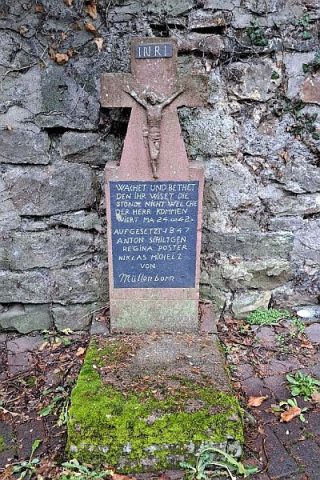
Wegekreuz
Religious Buildings Wayside Shrines and Stations of the Cross ID 26463
-
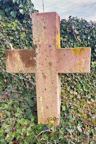
Wegekreuz
Religious Buildings Wayside Shrines and Stations of the Cross ID 26465
-
Wegekreuz
Religious Buildings Wayside Shrines and Stations of the Cross ID 26467
-
Wegekreuz
Religious Buildings Wayside Shrines and Stations of the Cross ID 52430
-
Wegekreuz
Religious Buildings Wayside Shrines and Stations of the Cross ID 55116
-
Wegekreuz am Schullandheim
Religious Buildings Wayside Shrines and Stations of the Cross ID 26464
-
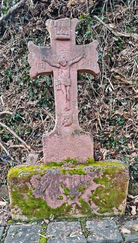
Wegekreuz von 1696
Religious Buildings Wayside Shrines and Stations of the Cross ID 26466
-
Wehrmachtsquelle
Springs ID 52621
-
Wohnhaus einer Hofanlage
Residential and Farm Buildings Farmhouses and Farm Buildings ID 57442
-
Wüstung Linzerath
Settlements Deserted Settlements ID 854
-
An der krummen Brück
Field Names ID 42450
-
Auf dem Schafkümpel
Field Names ID 37340
-
Auf dem Wolfsfeld
Field Names ID 36940
-
Bei dem Eschenborn
Field Names ID 32161
-
Dorflinde
Trees Lime Trees ID 16684
-
Ehemaliger Kalkofen
Economy, Trade and Transport Lime Kilns ID 34885
-
Ehemaliger Steinbruch
Economy, Trade and Transport Extraction and Processing of Raw Materials ID 46681
-
Haasendell
Field Names ID 44982
-
Herbstloch
Field Names ID 52873
-
Im Dellchen
Field Names ID 45029
-
Im Faulborn
Field Names ID 32165
-
Im Kunertsborn
Field Names ID 32171
-
In Haasendell
Field Names ID 45456
-
In den sechs Morgen
Field Names ID 29282
-
Kirchenpesch
Field Names ID 46306
-
Ober dem Hinringsborn
Field Names ID 32170