Springs · Undated
Quellen im Oosbachtal


Classification
- Subject area
- Natural Features
- Category
- Springs
- Date
- Undatiert
- Period
- Undated
Location
- District
- Vulkaneifel
- Town
- Gerolstein
- Locality / location
- Müllenborn
- Field name
- Auf dem Weg
- Coordinates
- WGS 84: 50.240188, 6.600812 (Position: exact) WGS 84: 50° 14′ 24.7″ N, 6° 36′ 02.9″ E UTM 32 (ETRS89): E 328924 · N 5568091
Sources
Data sources
- [1] Uwe Widera, 54550 Daun, 2011.
On the internet
vulkaneifel-european-geopark.de/twg/pdfs/wasser-flyer-d.pdf
Picture credits
Last edited: 21 Aug 2011 Object ID: 23440
https://kulturdb.de/en/objekt/23440-gerolstein-quellen-im-oosbachtal
Nearby
The nearest objects
No picture
less than 10 m
Springs
Großer Müllenborn
No picture
70 m
Springs
Wehrmachtsquelle
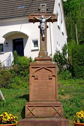 170 m
Wayside Shrines and Stations of the Cross
Wegekreuz
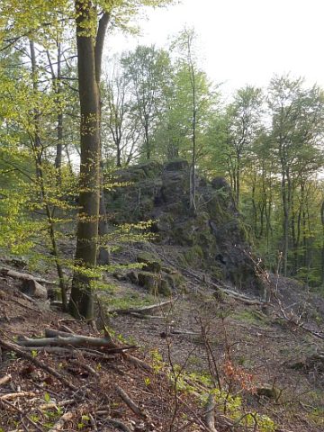 370 m
Rocks
Aulslei
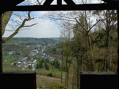 370 m
Viewpoints
Aussichtspunkt Auf Lentzerrath
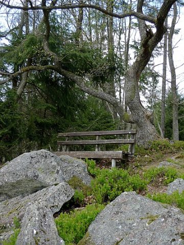 390 m
Viewpoints
Aussichtspunkt Felssturz und Fuchsröhre
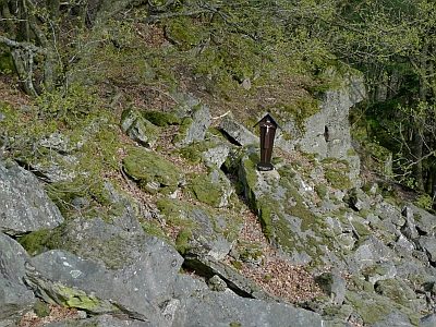 390 m
Wayside Shrines and Stations of the Cross
Kreuz am Felssturz
400 m
Rocks