Springs · Undated
Großer Müllenborn


© GeoBasis-DE / LVermGeoRP, dl-de/by-2-0
There is no picture of this object yet. Do you have a photo that you would like to make available to the Kulturdatenbank? Submit a picture
Description
This description is only available in German.
Translate with Google opens this page in Google Translate (external service)
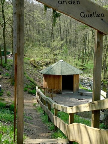
Mehrere starke Quellen treten im Oberlauf des Oosbaches bei Müllenborn aus: Der dem mitteldevonischen Schönecker Dolomit entspringende "Großer Müllenborn" ist mit 2 – 3.000 m3 Schüttung pro Tag ein Hauptlieferant für die Wasserversorgung im Gerolsteiner Land. Die auf der gegenüber liegenden Talseite entspringende Utzig-Karstquelle liegt direkt neben der Straße nach Oos und schüttet – je nach Jahreszeit – gar 7 - 10.000 m³ pro Tag. Interessant ist, dass zwischen den natürlichen Quellaustritten links und rechts der Oos ein Höhenunterschied von 3,8 m besteht.
Classification
- Subject area
- Natural Features
- Category
- Springs
- Date
- Undatiert
- Period
- Undated
Location
- District
- Vulkaneifel
- Town
- Gerolstein
- Locality / location
- Müllenborn
- Field name
- Auf dem Wog
- Coordinates
- WGS 84: 50.240185, 6.600821 (Position: exact) WGS 84: 50° 14′ 24.7″ N, 6° 36′ 03.0″ E UTM 32 (ETRS89): E 328925 · N 5568090
Sources
Data sources
- Tourist-Information Gerolsteiner Land, Kyllweg 1 · 54568 Gerolstein, Tel. (06591)13180 · Fax (06591) 13183; touristinfo@gerolsteiner-land.de www.gerolsteiner-land.de
On the internet
Last edited: 20 Jun 2008 Object ID: 14861
https://kulturdb.de/en/objekt/14861-gerolstein-grosser-muellenborn
Nearby
The nearest objects
 less than 10 m
Springs
Quellen im Oosbachtal
Springs
Wehrmachtsquelle
 170 m
Wayside Shrines and Stations of the Cross
Wegekreuz
 370 m
Rocks
Aulslei
 370 m
Viewpoints
Aussichtspunkt Auf Lentzerrath
 390 m
Viewpoints
Aussichtspunkt Felssturz und Fuchsröhre
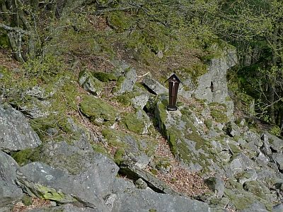 390 m
Wayside Shrines and Stations of the Cross
Kreuz am Felssturz
400 m
Rocks