Springs · 20th Century
Wehrmachtsquelle


© GeoBasis-DE / LVermGeoRP, dl-de/by-2-0
There is no picture of this object yet. Do you have a photo that you would like to make available to the Kulturdatenbank? Submit a picture
Description
This description is only available in German.
Translate with Google opens this page in Google Translate (external service)
Die Quelle ist Ende der 30er Jahre des letzten Jahrhundens in einem Bruchsteinbecken gefasst worden. Die Schüttung der Quelle beträgt ca. 2.000 bis 3.000 Kubikmeter pro Tag. [1]
Classification
- Subject area
- Natural Features
- Category
- Springs
- Date
- Ende der 30er Jahre
- Period
- 20th Century
Location
- District
- Vulkaneifel
- Town
- Gerolstein
- Locality / location
- Müllenborn
- Field name
- Müllenbornerbüsch
- Coordinates
- WGS 84: 50.240158, 6.601727 (Position: exact) WGS 84: 50° 14′ 24.6″ N, 6° 36′ 06.2″ E UTM 32 (ETRS89): E 328990 · N 5568085
Sources
Data sources
- [1] Liste Trinkwasserquellen Deutschland https://sb9e4860b93aa36a8.jimcontent.com/download/version/166374509…
On the internet
Last edited: 16 Jul 2023 Object ID: 52621
https://kulturdb.de/en/objekt/52621-gerolstein-wehrmachtsquelle
Nearby
The nearest objects
Springs
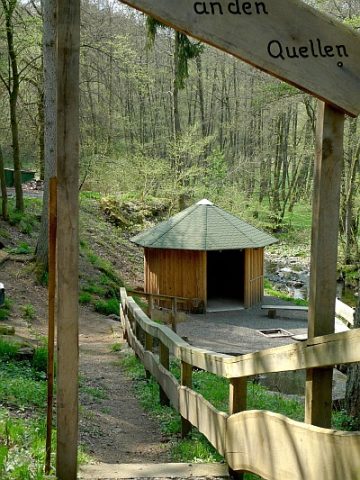
Großer Müllenborn
 70 m
Springs
Quellen im Oosbachtal
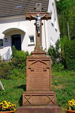 220 m
Wayside Shrines and Stations of the Cross
Wegekreuz
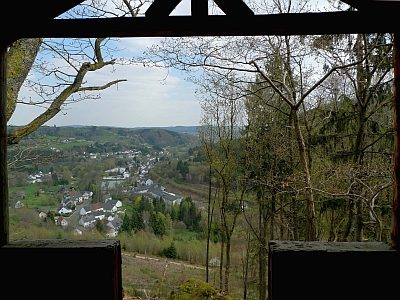 360 m
Viewpoints
Aussichtspunkt Auf Lentzerrath
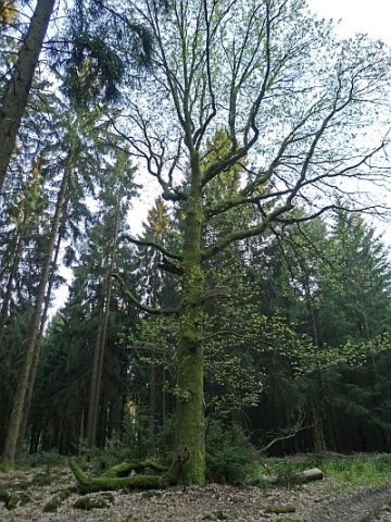 400 m
Oaks
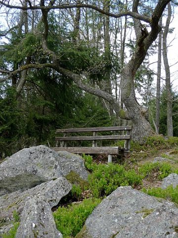
Eiche
 400 m
Viewpoints
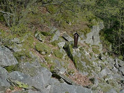
Aussichtspunkt Felssturz und Fuchsröhre
 400 m
Wayside Shrines and Stations of the Cross
Kreuz am Felssturz
410 m
Rocks