Road Transport · Undated
Brücke über die Sauer
Historische Aufnahme

Classification
- Subject area
- Architectural and Art Monuments
- Category
- Economy, Trade and Transport
- Object type
- Road Transport
- Date
- Undatiert
- Period
- Undated
Location
- District
- Eifelkreis Bitburg-Prüm
- Collective municipality
- Südeifel
- Municipality
- Wallendorf
- Street
- Sauertalstraße
- Field name
- Ortslage
- Coordinates
- WGS 84: 49.875361, 6.290284 (Position: exact) WGS 84: 49° 52′ 31.3″ N, 6° 17′ 25.0″ E UTM 32 (ETRS89): E 305313 · N 5528294
Sources
On the internet
Picture credits
- Picture 1: Historische Ansichtskarte von 1936
Last edited: 29 Oct 2000 Object ID: 10678
https://kulturdb.de/en/objekt/10678-wallendorf-bruecke-ueber-die-sauer
Nearby
The nearest objects
No picture
less than 10 m
Wayside Shrines and Stations of the Cross
Schaftkreuz von 1607
No picture
50 m
Road Transport
Steinerne Brückenreste
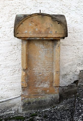 100 m
Wayside Shrines and Stations of the Cross
Wegekreuz
No picture
140 m
Farmhouses and Farm Buildings
Wohnhaus
No picture
180 m
Fountains and Wells
Genovevabrunnen
No picture
180 m
Fountains and Wells
Fischerbrunnen
 180 m
Coats of Arms
Wappen der Gemeinde Wallendorf
180 m
Place Names / Local History