Wayside Shrines and Stations of the Cross · Undated
Wegekreuz

Description
This description is only available in German.
Translate with Google opens this page in Google Translate (external service)
Gedrungenes Schaftkreuz, bezeichnet 1607, Abschluss aus dem 19. Jahrhundert fehlt. [1]
Classification
- Subject area
- Architectural and Art Monuments
- Category
- Religious Buildings
- Object type
- Wayside Shrines and Stations of the Cross
- Date
- Undatiert
- Period
- Undated
Location
- District
- Eifelkreis Bitburg-Prüm
- Collective municipality
- Südeifel
- Municipality
- Wallendorf
- Street
- Sauertalstr. 37-Holunderweg
- Field name
- Ortslage
- Coordinates
- WGS 84: 49.876268, 6.290388 (Position: exact) WGS 84: 49° 52′ 34.6″ N, 6° 17′ 25.4″ E UTM 32 (ETRS89): E 305324 · N 5528395
Sources
Data sources
- [1] Seite „Liste der Kulturdenkmäler in Wallendorf (Eifel)“. In: Wikipedia – Die freie Enzyklopädie. Bearbeitungsstand: 5. April 2023, 09:36 UTC. URL: https://de.wikipedia.org/w/index.php?title=Liste_der_Kulturdenkm%C3… (Abgerufen: 17. Mai 2023, 08:16 UTC)
On the internet
Picture credits
- Picture 1: © Dr. Peter Stolz, Trier, 2023.
Last edited: 17 May 2023 Object ID: 30496
https://kulturdb.de/en/objekt/30496-wallendorf-wegekreuz
Nearby
The nearest objects
Wayside Shrines and Stations of the Cross
Schaftkreuz von 1607
 100 m
Road Transport
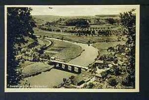
Brücke über die Sauer
Farmhouses and Farm Buildings
Wohnhaus
Fountains and Wells
Fischerbrunnen
 130 m
Place Names / Local History
Chronik der Gemeinde Wallendorf
Road Transport
Steinerne Brückenreste
 170 m
Wayside Shrines and Stations of the Cross
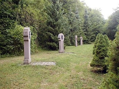
Kreuzweg - 2. Station
190 m
Wayside Shrines and Stations of the Cross