Wayside Shrines and Stations of the Cross · Undated
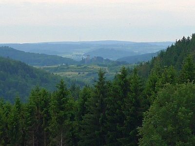
Kreuz am Aussichtspunkt Schießanlage


Description
This description is only available in German.
Translate with Google opens this page in Google Translate (external service)
Auf Höhenpunkt 569,5 Meter über Normal-Null. [1]
Classification
- Subject area
- Architectural and Art Monuments
- Category
- Religious Buildings
- Object type
- Wayside Shrines and Stations of the Cross
- Date
- Undatiert
- Period
- Undated
Location
- District
- Vulkaneifel
- Collective municipality
- Gerolstein
- Municipality
- Neroth
- Field name
- Auf dem Kißelberg
- Coordinates
- WGS 84: 50.199660, 6.732900 (Position: exact) WGS 84: 50° 11′ 58.8″ N, 6° 43′ 58.4″ E UTM 32 (ETRS89): E 338205 · N 5563290
Sources
Data sources
- [1] Uwe Widera, 54550 Daun, 2009.
On the internet
Picture credits
Last edited: 28 Jun 2009 Object ID: 17265
https://kulturdb.de/en/objekt/17265-neroth-kreuz-am-aussichtspunkt-schiessanlage
Nearby
The nearest objects
 less than 10 m
Viewpoints
Aussichtspunkt an der Schießanlage Gees
No picture
190 m
Field Names
In der Gruf
No picture
350 m
Dry Maars
Hengstweiler Maar
No picture
360 m
Volcanoes
Vulkan Hengstweiler Maar
No picture
390 m
Deserted Settlements
Wüstung Hengstweiler
No picture
500 m
Wayside Shrines and Stations of the Cross
Wegekreuz
No picture
510 m
Field Names
Kirchenberg
No picture
550 m
Field Names