Deserted Settlements · Gothic
Wüstung Hengstweiler


© GeoBasis-DE / LVermGeoRP, dl-de/by-2-0
There is no picture of this object yet. Do you have a photo that you would like to make available to the Kulturdatenbank? Submit a picture
Description
This description is only available in German.
Translate with Google opens this page in Google Translate (external service)
1447 verkaufte ein Ritter von Gees den Zehnten von Hengstweiler für 131 Florin 1559 sind die Höfe Eigentum des Grafen von Manderscheid-Gerolstein. Mitte des 19. Jahrhunderts gab es nur noch Mauerreste. [1]
Classification
- Subject area
- Archaeological Monuments
- Category
- Settlements
- Object type
- Deserted Settlements
- Date
- 1447
- Period
- Gothic
Location
- District
- Vulkaneifel
- Collective municipality
- Gerolstein
- Municipality
- Neroth
- Field name
- In Hengstweiler
- Coordinates
- WGS 84: 50.200828, 6.727729 (Position: presumed) WGS 84: 50° 12′ 03.0″ N, 6° 43′ 39.8″ E UTM 32 (ETRS89): E 337840 · N 5563431
Sources
Data sources
- [1] Janssen, W.: Studien zur Wüstungsfrage im fränkischen Altsiedelland zwischen Rhein, Mosel und Eifelnordrand. 2 Bände. Text u. Katalog, 1975.
On the internet
Last edited: 19 Jun 2009 Object ID: 906
https://kulturdb.de/en/objekt/906-neroth-wuestung-hengstweiler
Nearby
The nearest objects
Volcanoes
Vulkan Hengstweiler Maar
Dry Maars
Hengstweiler Maar
Shooting Ranges
Standortschießanlage Gees
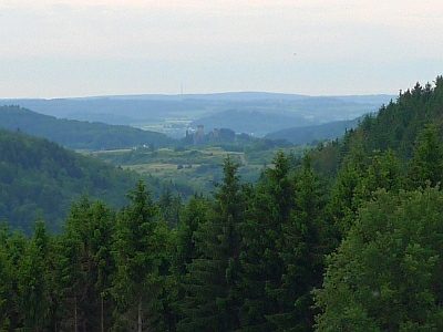 390 m
Viewpoints
Aussichtspunkt an der Schießanlage Gees
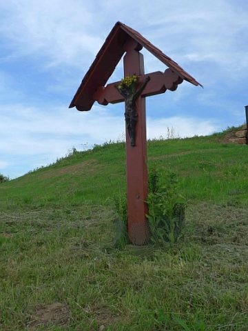 390 m
Wayside Shrines and Stations of the Cross
Kreuz am Aussichtspunkt Schießanlage
Field Names
In der Gruf
Field Names
Am Wilbertsborn
Field Names